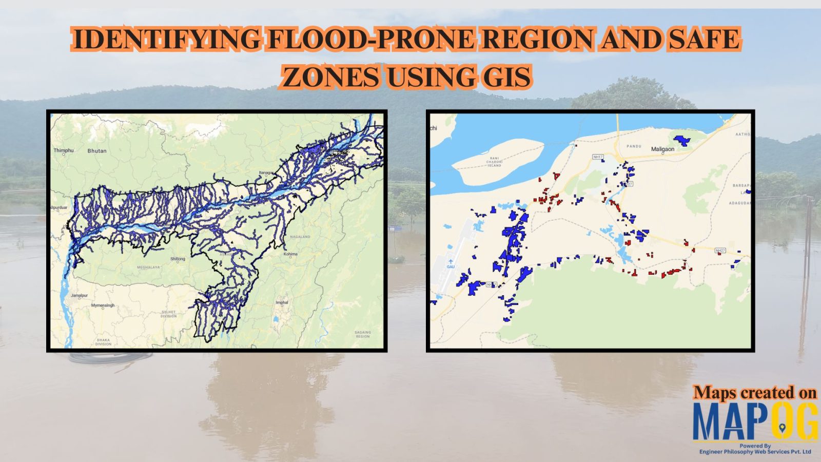
How to Use GIS to Identify Flood-Prone Areas and Map Safe Zones using buffer analysi
Identifying Flood Prone region near rivers is vital for disaster preparedness. Using GIS buffer analysis, a 1 km zone around rivers highlights vulnerable settlements, enabling rapid flood-risk estimation, mapping of exposed regions, and informed mitigation planning without complex hydrological modeling. So users can build interactive flood risk maps by integrating river data, and key land-use … Read more
