Create a map of Intersecting Paths: A Proximity Analysis of Road and River
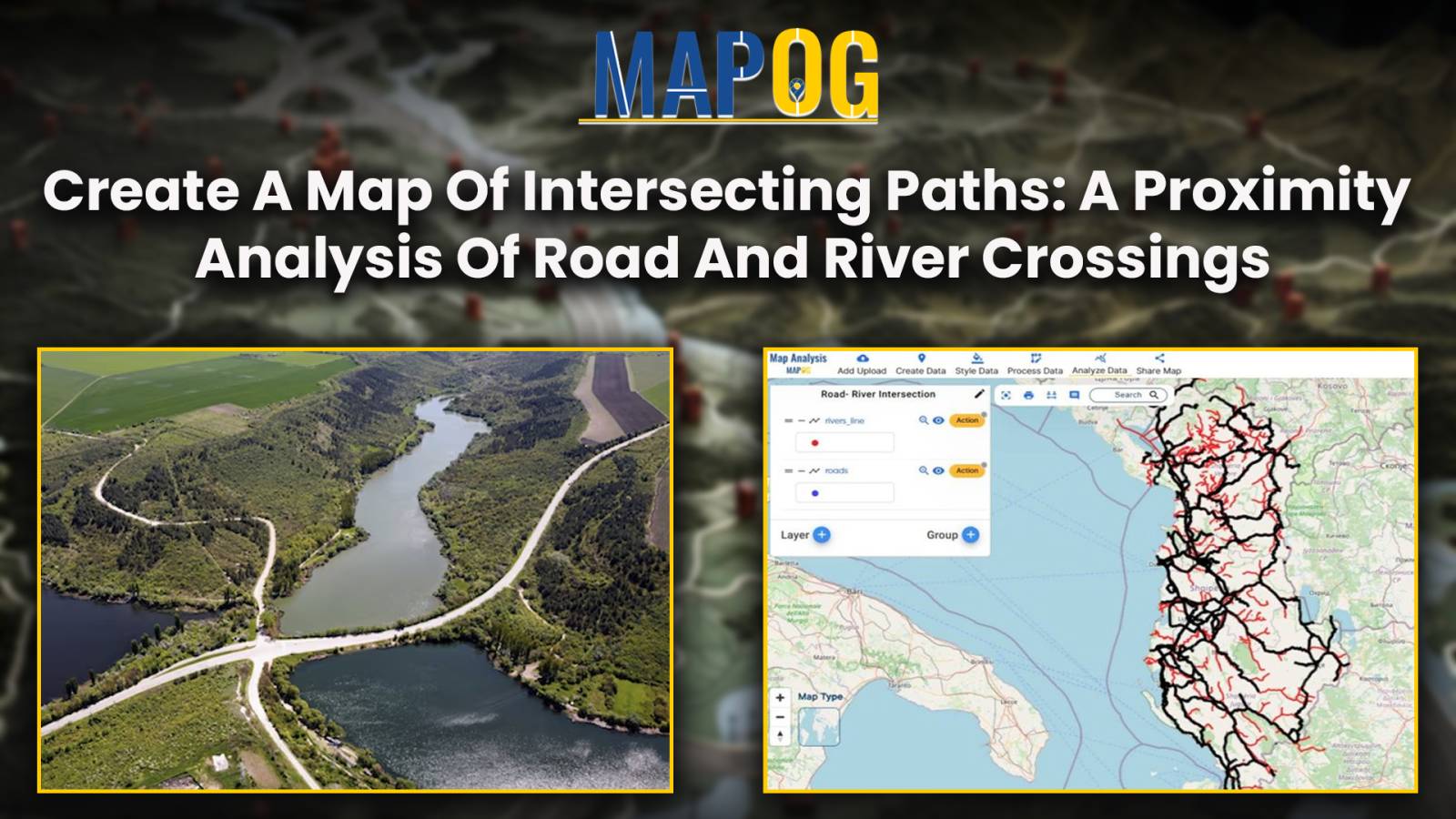
Mapping the road-river intersections of road and rivers using MAPOG proximity analysis tool for the smooth transportation and safety.
Mapping the road-river intersections of road and rivers using MAPOG proximity analysis tool for the smooth transportation and safety.
In the realm of environmental analysis and land management, extracting specific geographic features from larger datasets is essential for informed decision-making. In this use case, we explore the extraction of forest areas from a larger dataset using the Filter Tool in MAPOG Map Analysis. By uploading a shapefile of the region and a forest area … Read more