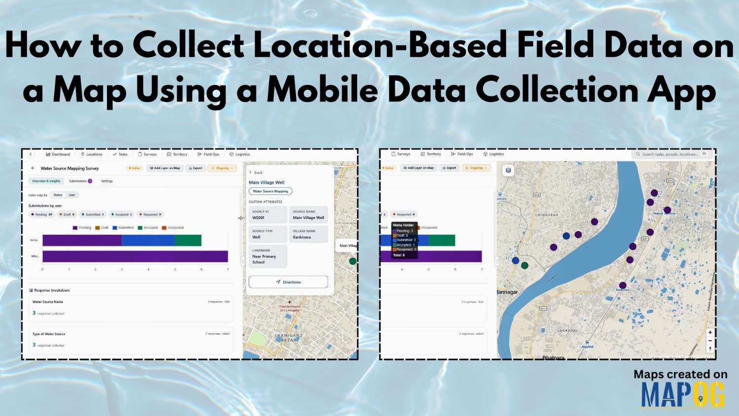
How to Collect Location-Based Field Data on a Map Using a Mobile Data Collection App
Collect Location-Based Field Data face many challenges due to reliance on paper records and delayed updates, leading to errors in water source mapping and village development projects. The MAPOG Survey and MAPOG Contributor mobile app address these issues by enabling real-time data collection on live maps, improving accuracy and decision-making. With MAPOG, teams can assign … Read more