Interactive Map

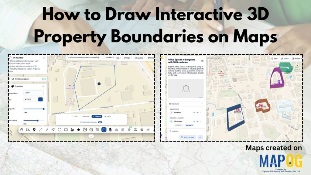
How to Draw Interactive 3D Property Boundaries on Maps

How to Draw Interactive 3D Property Boundaries on Maps

In industries like real estate, construction, infrastructure planning, campuses, and tourism, clearly defining areas on a map is essential for better visualization and decision-making. Interactive 3D property boundaries help transform flat maps into more engaging and easy-to-understand visual experiences. With MAPOG, you can create interactive 3D boundaries, customize their height and styling, organize locations, and … Read more

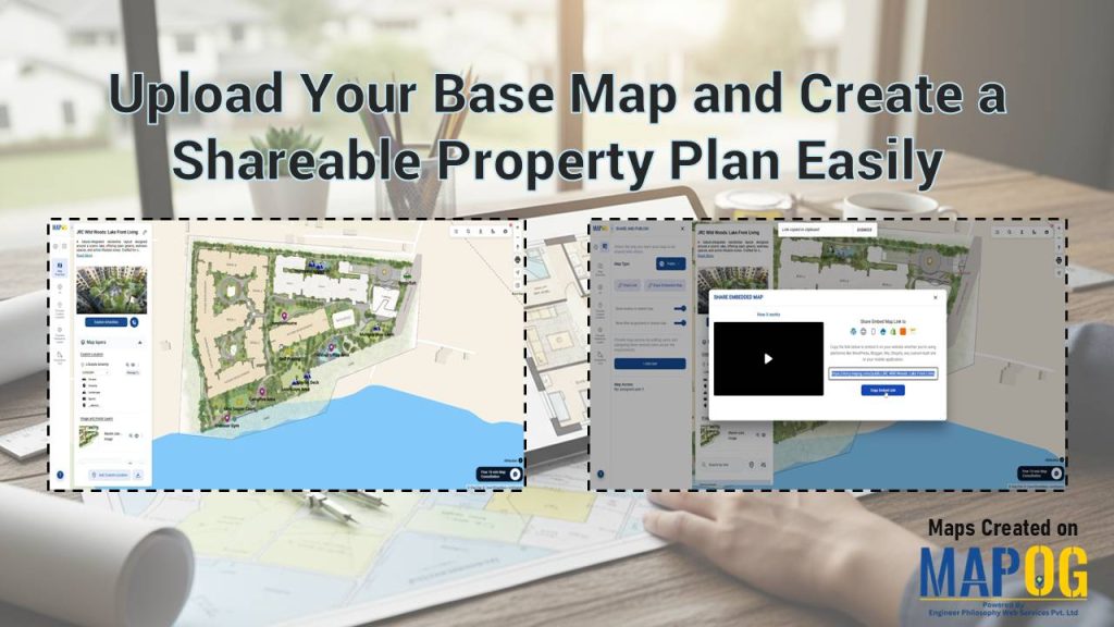
Upload Your Base Map to create a shareable property plan with MAPOG georeferencing and interactive layout tools

Upload Your Base Map and Create a Shareable Property Plan Easily

Static floor plans often confuse potential buyers because they lack real-world context. Brokers and developers struggle to convey a lifestyle when using a static PDF. Therefore, you should Upload Your Base Map and Create a Shareable Property Plan Easily to bridge this gap. By leveraging the MAPOG georeferencing capability, you transform a simple layout image … Read more

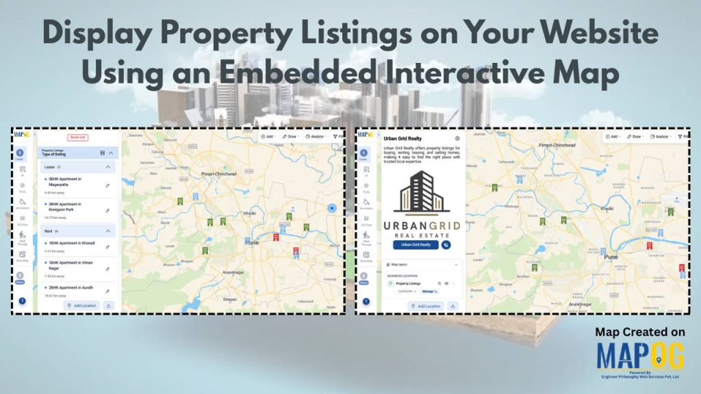
Display Property Listings on Your Website Using an Embedded Interactive Map

Display Property Listings on Your Website Using an Embedded Interactive Map

In today’s real estate industry, users expect more than static listings—they want a clear, visual understanding of property locations and nearby amenities. Interactive maps have become essential to display property listings effectively while improving engagement. However, building such solutions can be complex and resource-intensive. MAPOG simplifies this by allowing businesses to create and embed interactive … Read more