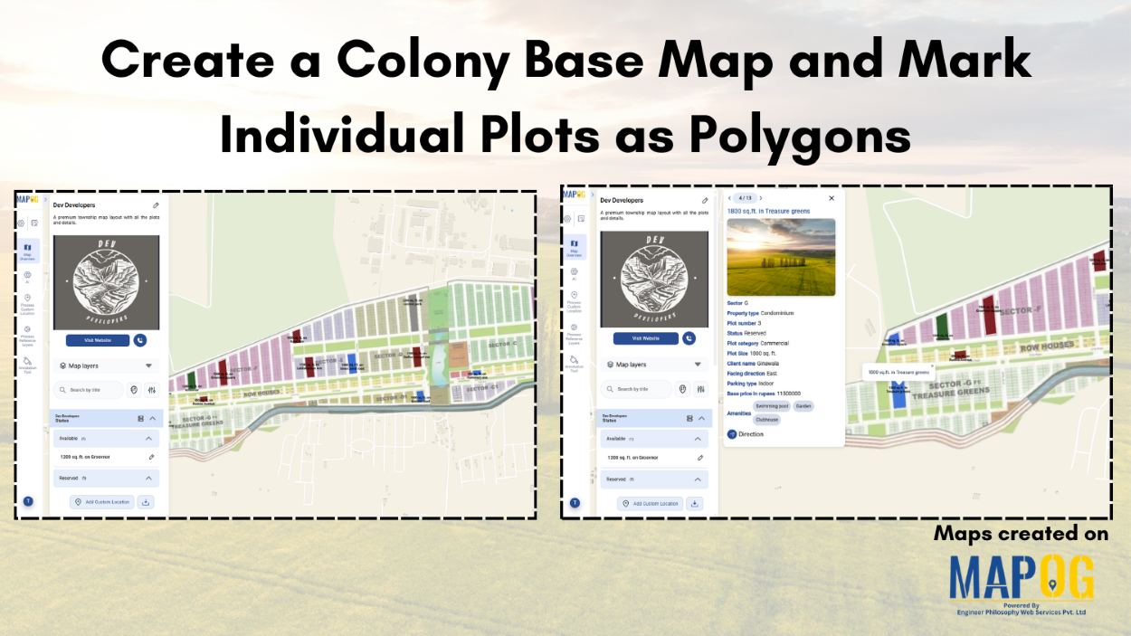
Create a Colony Base Map and Mark Individual Plots as Polygons
In land development, managing multiple plots is difficult due to scattered paperwork, unclear boundaries and limited visualization. Plot allocation and ownership tracking become challenging without structured digital maps. MAPOG solves this by representing each plot as a polygon on the colony base map linked to details like plot number and ownership, allowing planners and developers … Read more