Home Map Analysis Route Compass Download GIS Data Mobile Data Collection Field Sales & Service Territory Design Blog Contact Sign up
Category

Story on Map

142 articles in this collection

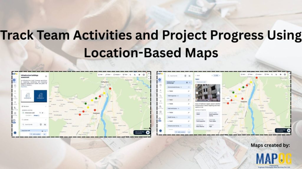
Track Team Activities and Project Progress Using Location-Based Maps
Track Team Activities and Project Progress Using Location-Based Maps

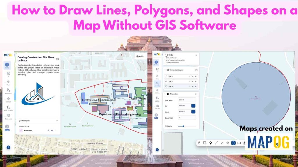
How to Draw Lines, Polygons, and Shapes on a Map Without GIS Software
How to Draw Lines, Polygons, and Shapes on a Map Without GIS Software

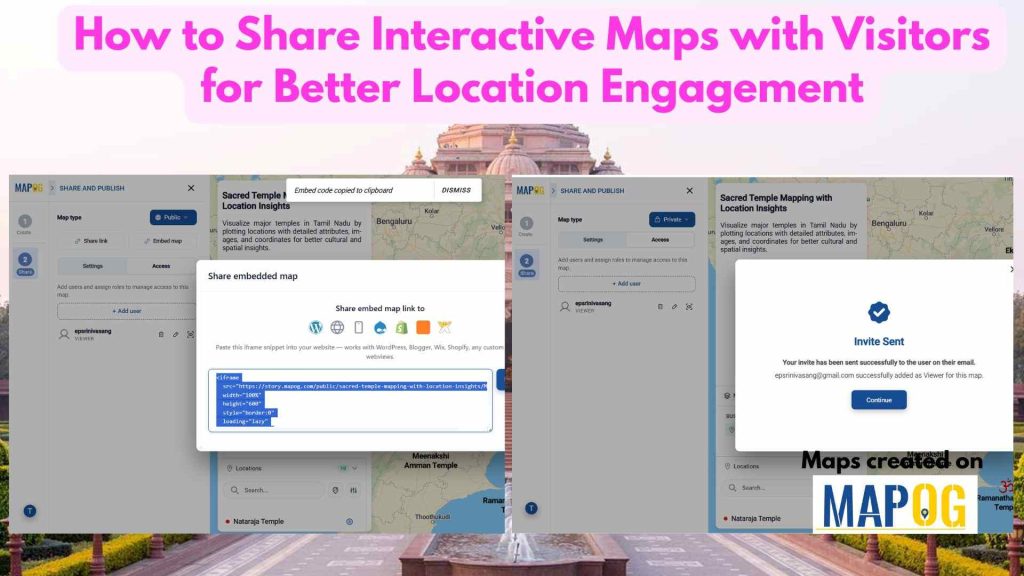
How to Share Interactive Maps with Visitors for Better Location Engagement
How to Share Interactive Maps with Visitors for Better Location Engagement

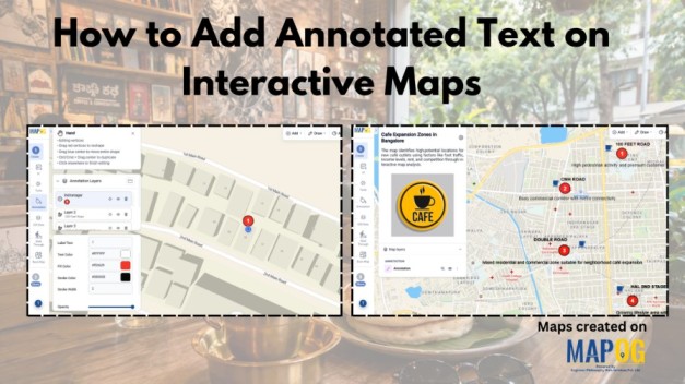
How to Add Annotated Text on Interactive Maps
How to Add Annotated Text on Interactive Maps

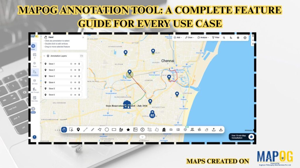
MAPOG Annotation Tool: A Complete Feature Guide for Every Use Case
MAPOG Annotation Tool: A Complete Feature Guide for Every Use Case

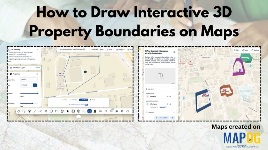
How to Draw Interactive 3D Property Boundaries on Maps
How to Draw Interactive 3D Property Boundaries on Maps

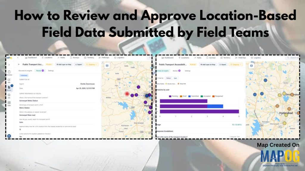
How to Review and Approve Location-Based Field Data Submitted by Field Teams
How to Review and Approve Location-Based Field Data Submitted by Field Teams

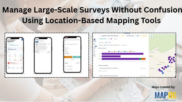
Manage Large-Scale Survey Without Confusion Using Location-Based Mapping Tools

Manage Large-Scale Survey Without Confusion Using Location-Based Mapping Tools

12318
Page 2 of 18
← Back to blog