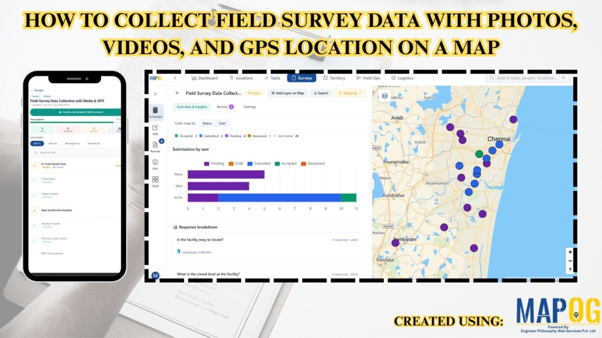
How to Collect Field Survey Data with Photos, Videos, and GPS Location on a Map
Traditional field surveys often cause delays, data mismatches, and poor location accuracy. MAPOG simplifies the process by combining field data collection and mapping into one real-time workflow. Key Concept: Collect Field Survey Data with Media & GPS Instead of collecting notes separately and mapping later, MAPOG enables direct data capture on the interactive map. You … Read more