Home Map Analysis Route Compass Download GIS Data Mobile Data Collection Field Sales & Service Territory Design Blog Contact Sign up
Category

GISdata

167 articles in this collection

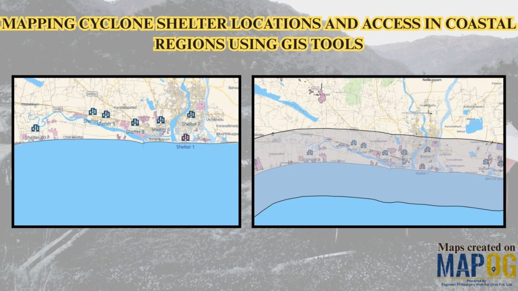
Mapping Cyclone Shelter Locations for Coastal Villages Using GIS
Mapping Cyclone Shelter Locations for Coastal Villages Using GIS

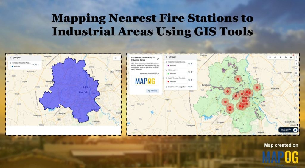
Create a map Fire Stations to Industrial Areas: Mapping Using GIS Tools
Create a map Fire Stations to Industrial Areas: Mapping Using GIS Tools

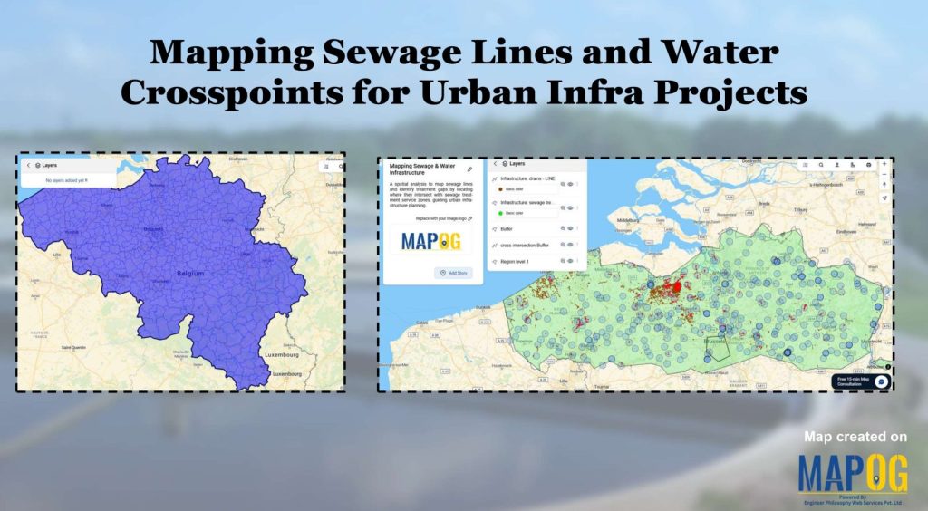
Create Map of Sewage Lines and Water Cross-points for Urban Infra Projects

Create Map of Sewage Lines and Water Cross-points for Urban Infra Projects

How Real Estate Agents Use Maps to Sell Properties Smarter

How Real Estate Agents Use Maps to Sell Properties Smarter

Create a Travel Journal on a Map – Add Photos, Notes & Pins
Create a Travel Journal on a Map – Add Photos, Notes & Pins

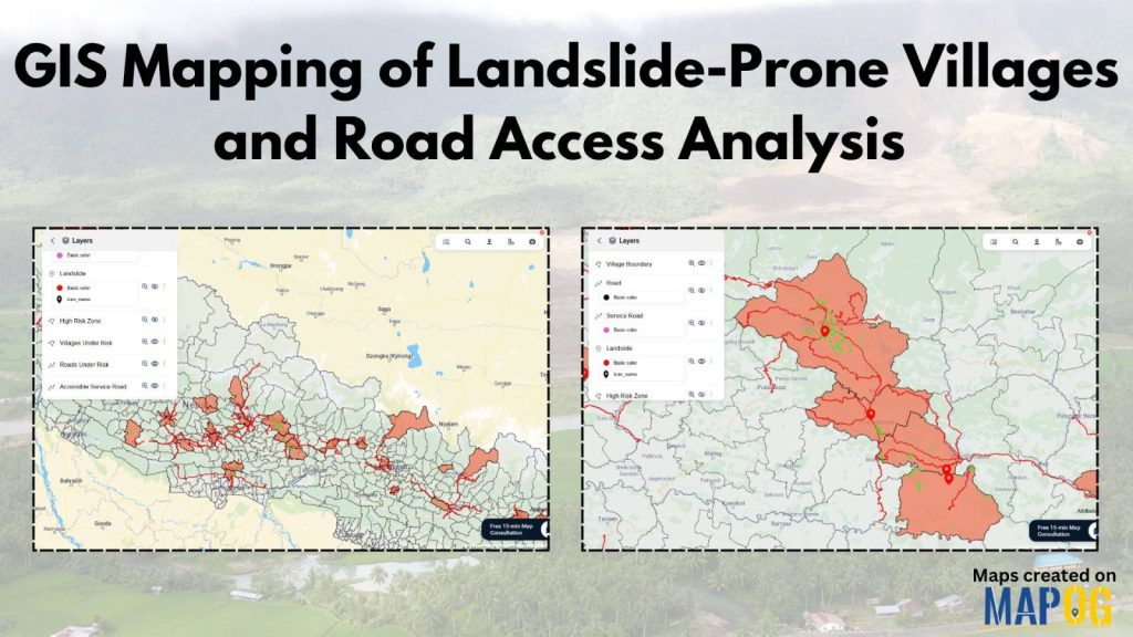
GIS Mapping of Landslide-Prone Villages and Road Accessibility
GIS Mapping of Landslide-Prone Villages and Road Accessibility

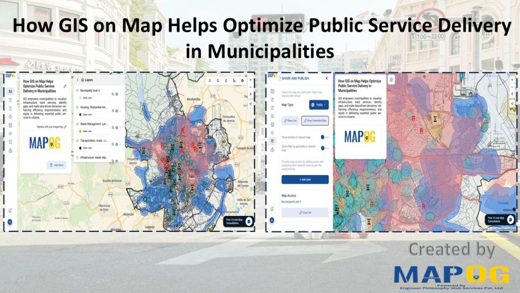
How GIS Mapping Optimizes Public Service Delivery in Municipalities
How GIS Mapping Optimizes Public Service Delivery in Municipalities

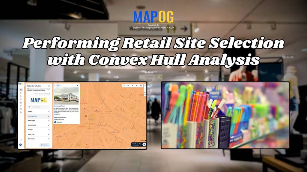
Performing Retail Site Selection with Convex Hull Analysis

Performing Retail Site Selection with Convex Hull Analysis

1…141516…21
Page 15 of 21
← Back to blog