Home Map Analysis Route Compass Download GIS Data Mobile Data Collection Field Sales & Service Territory Design Blog Contact Sign up
Category

GISdata

167 articles in this collection

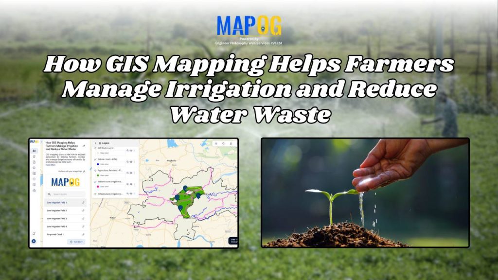
How GIS Mapping Helps Farmers Manage Irrigation and Reduce Water Waste
How GIS Mapping Helps Farmers Manage Irrigation and Reduce Water Waste

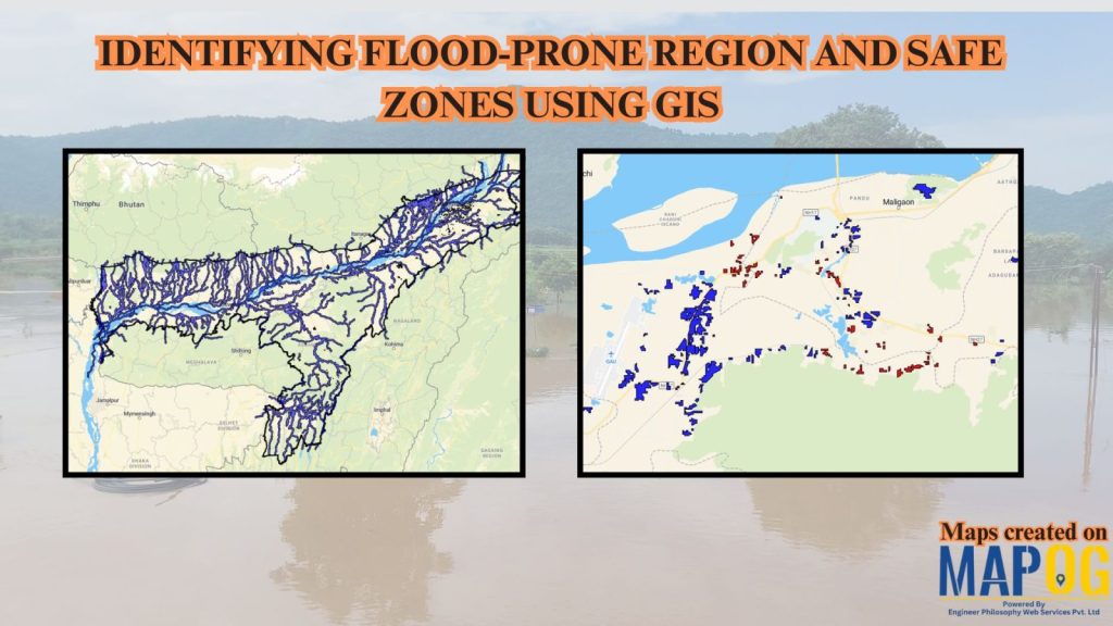
How to Use GIS to Identify Flood-Prone Areas and Map Safe Zones using buffer analysi
How to Use GIS to Identify Flood-Prone Areas and Map Safe Zones using buffer analysi

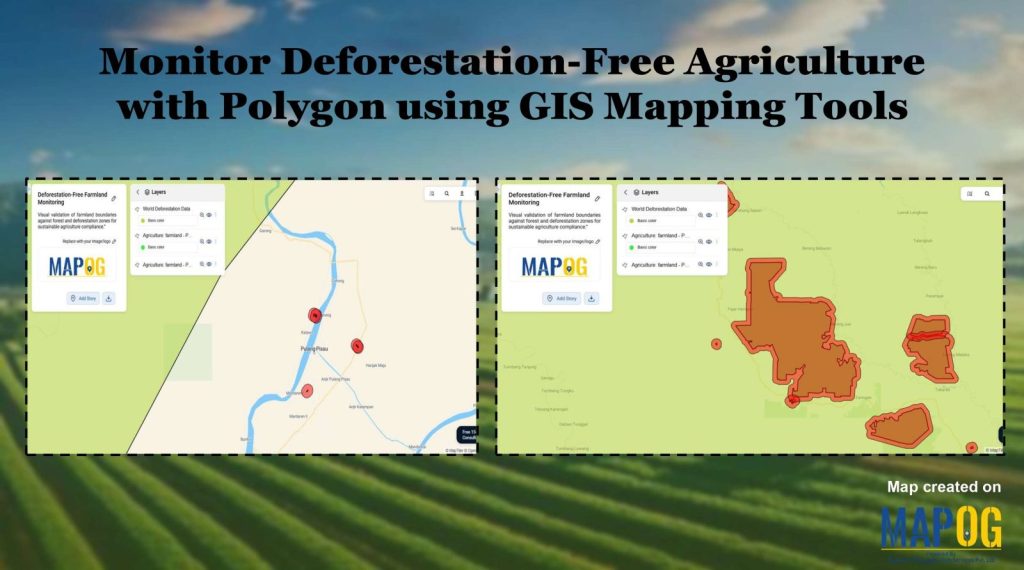
Monitor Deforestation-Free Farming Using GIS Mapping and Spatial Analysis Tools
Monitor Deforestation-Free Farming Using GIS Mapping and Spatial Analysis Tools

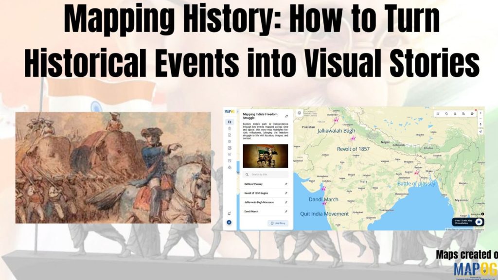
Mapping History with GIS: Turn Historical Events into Interactive Stories
Mapping History with GIS: Turn Historical Events into Interactive Stories

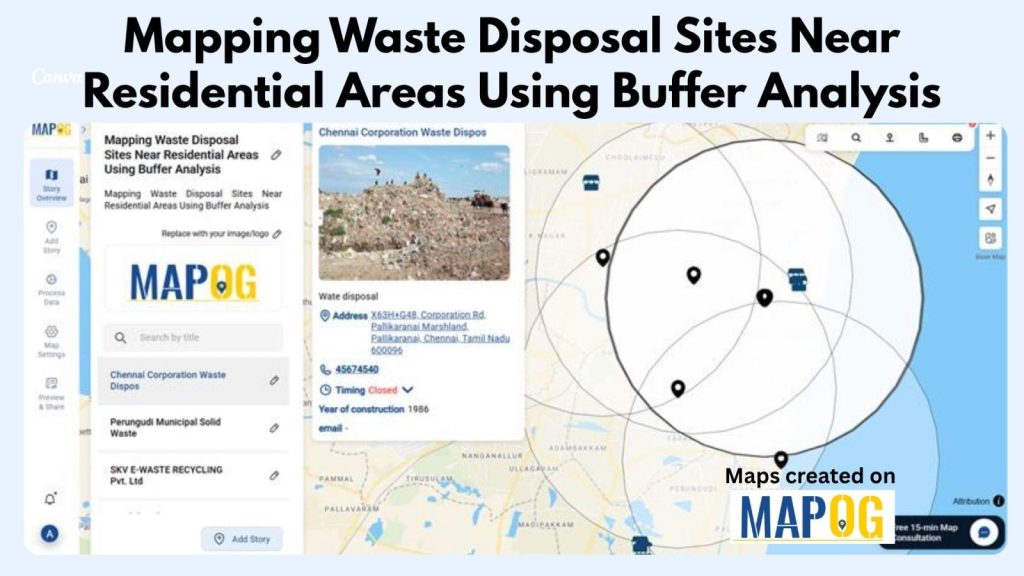
How to Map Waste Disposal Sites Near Residential Areas Using GIS Buffer Analysis

How to Map Waste Disposal Sites Near Residential Areas Using GIS Buffer Analysis

Create a Buffer Analysis to Locate Hospital Within 5km radius of Village
Create a Buffer Analysis to Locate Hospital Within 5km radius of Village

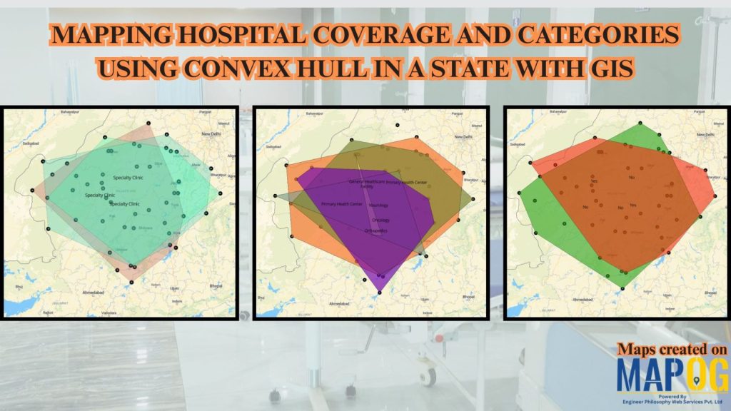
Mapping Rural Hospital Coverage Using GIS and Convex Hull
Mapping Rural Hospital Coverage Using GIS and Convex Hull

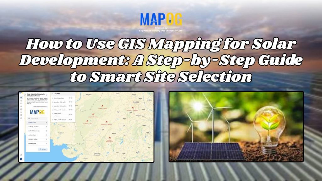
How to Use GIS Mapping for Solar Development: A Step-by-Step Guide to Smart Site Selection

How to Use GIS Mapping for Solar Development: A Step-by-Step Guide to Smart Site Selection

1…131415…21
Page 14 of 21
← Back to blog