Home Map Analysis Route Compass Download GIS Data Mobile Data Collection Field Sales & Service Territory Design Blog Contact Sign up
Category

GISdata

167 articles in this collection

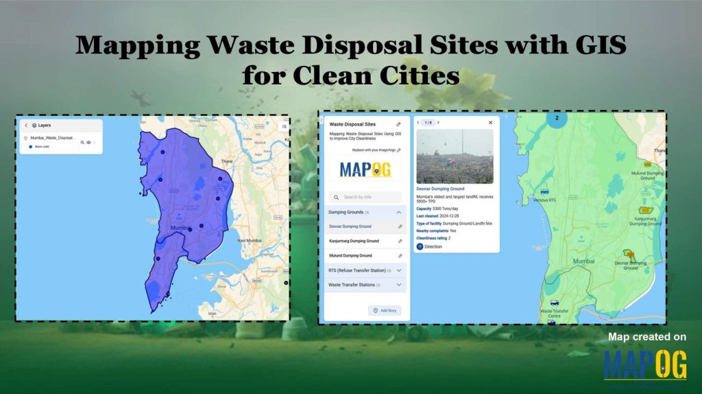
Mapping Waste Disposal Sites with GIS for Clean Cities
Mapping Waste Disposal Sites with GIS for Clean Cities

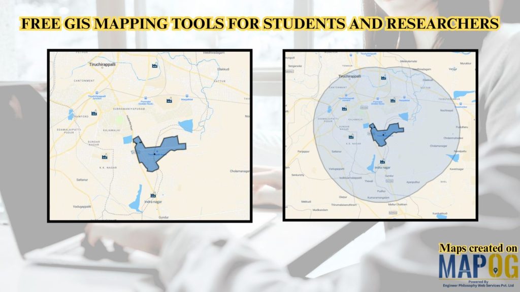
Free GIS Mapping Tools for Students and Researchers
Free GIS Mapping Tools for Students and Researchers

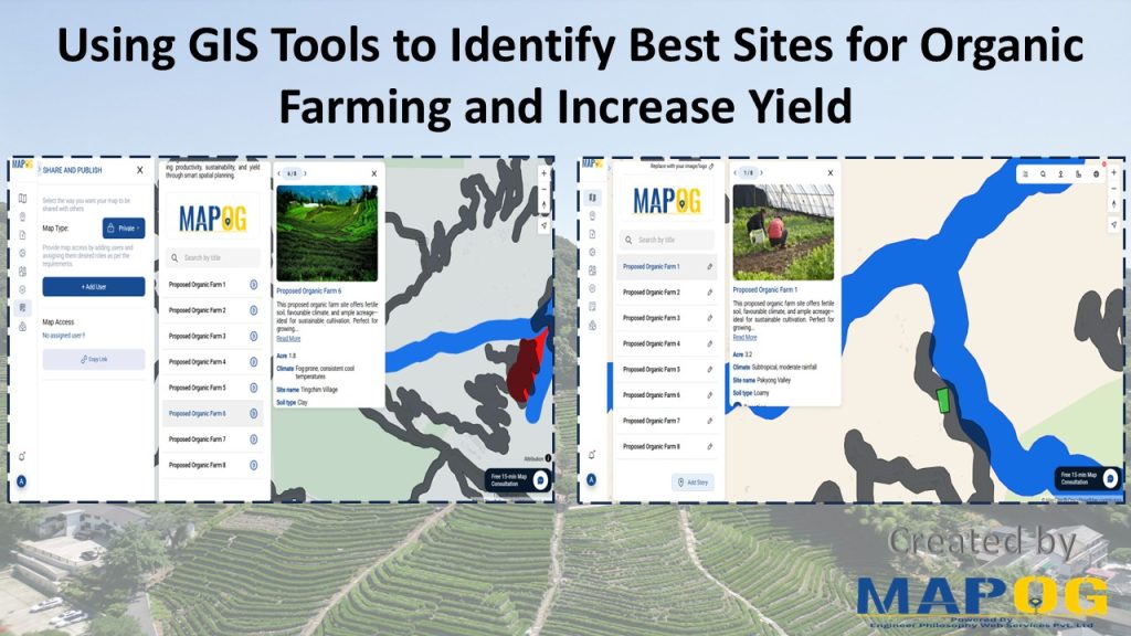
Using GIS Tools to Identify Best Sites for Organic Farming and Increase Yield
Using GIS Tools to Identify Best Sites for Organic Farming and Increase Yield

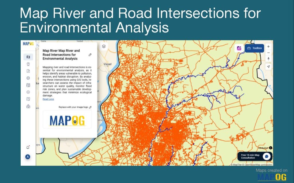
Create a Map of River and Road Intersections for Environmental Analysis
Create a Map of River and Road Intersections for Environmental Analysis

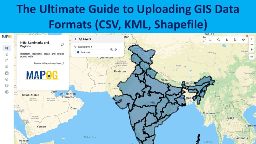
The Ultimate Guide to Uploading GIS Data Formats (CSV, KML, Shapefile)
The Ultimate Guide to Uploading GIS Data Formats (CSV, KML, Shapefile)

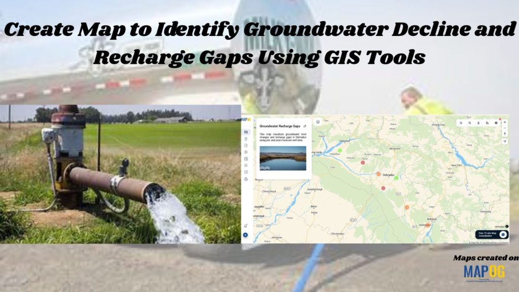
Create Map to Identify Groundwater Decline and Recharge Gaps Using GIS Tools
Create Map to Identify Groundwater Decline and Recharge Gaps Using GIS Tools

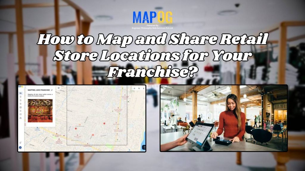
How to Map and Share Retail Store Locations for Your Franchise?
How to Map and Share Retail Store Locations for Your Franchise?

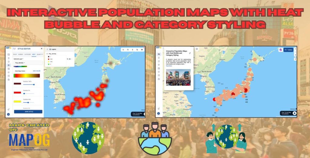
Interactive Population Map with Heat Bubble and Category Styling

Interactive Population Map with Heat Bubble and Category Styling

1…151617…21
Page 16 of 21
← Back to blog