Home Map Analysis Route Compass Download GIS Data Mobile Data Collection Field Sales & Service Territory Design Blog Contact Sign up
Category

GIS in Education

84 articles in this collection

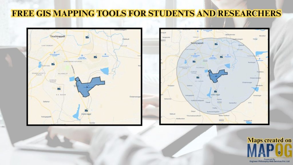
Free GIS Mapping Tools for Students and Researchers
Free GIS Mapping Tools for Students and Researchers

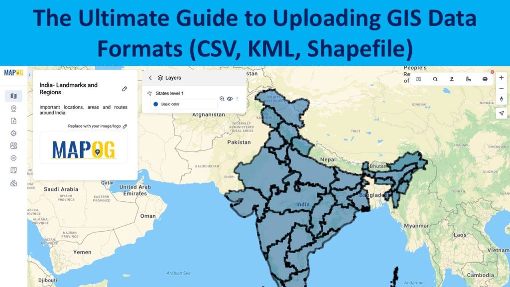
The Ultimate Guide to Uploading GIS Data Formats (CSV, KML, Shapefile)
The Ultimate Guide to Uploading GIS Data Formats (CSV, KML, Shapefile)

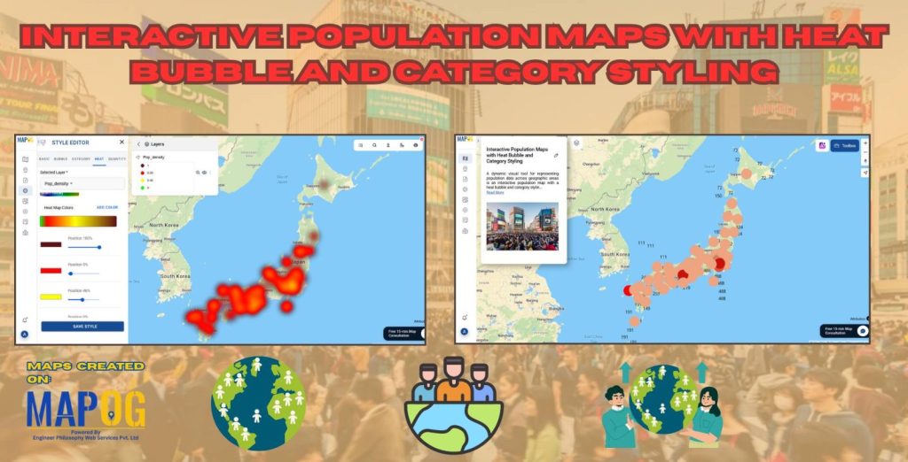
Interactive Population Map with Heat Bubble and Category Styling
Interactive Population Map with Heat Bubble and Category Styling

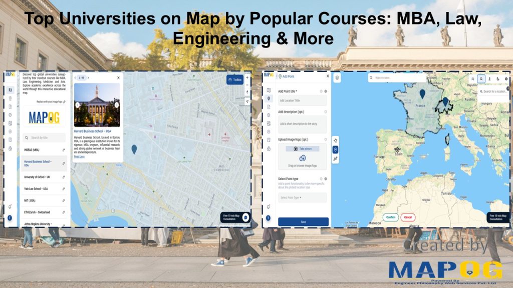
Top Universities on Map by Popular Courses: MBA, Law, Engineering & More
Top Universities on Map by Popular Courses: MBA, Law, Engineering & More

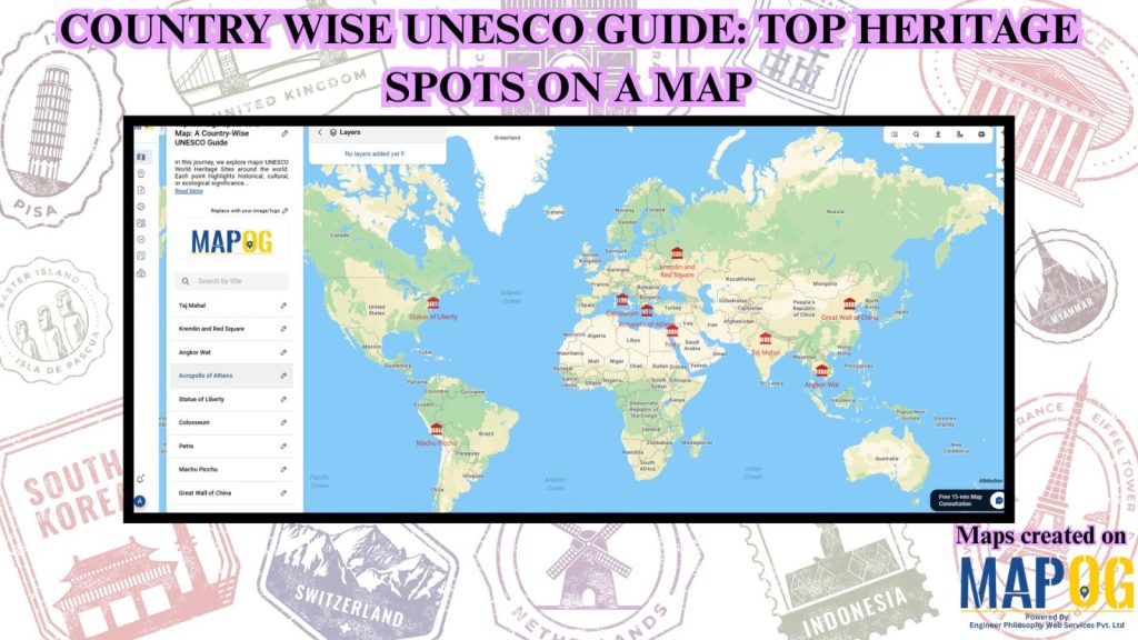
Create Countrywise UNESCO Map: Top Heritage Spots Guide
Create Countrywise UNESCO Map: Top Heritage Spots Guide

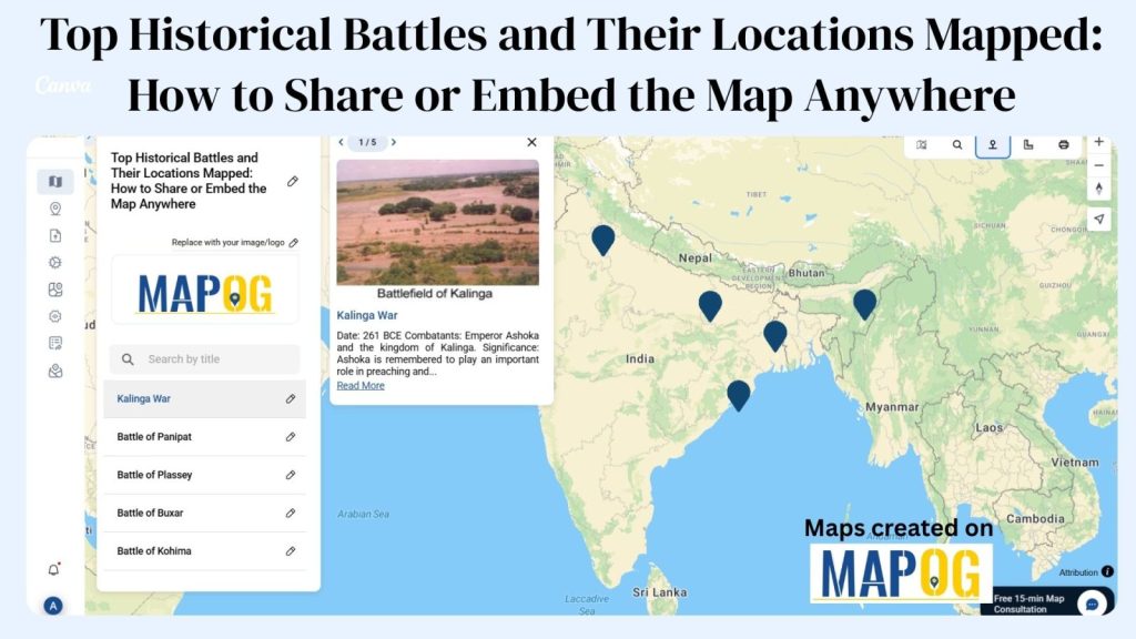
Top Historical Battles and Their Locations Mapped: How to Share or Embed the Map Anywhere
Top Historical Battles and Their Locations Mapped: How to Share or Embed the Map Anywhere

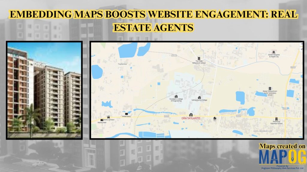
Embedding Maps Boosts Website Engagement: Real Estate Agents
Embedding Maps Boosts Website Engagement: Real Estate Agents

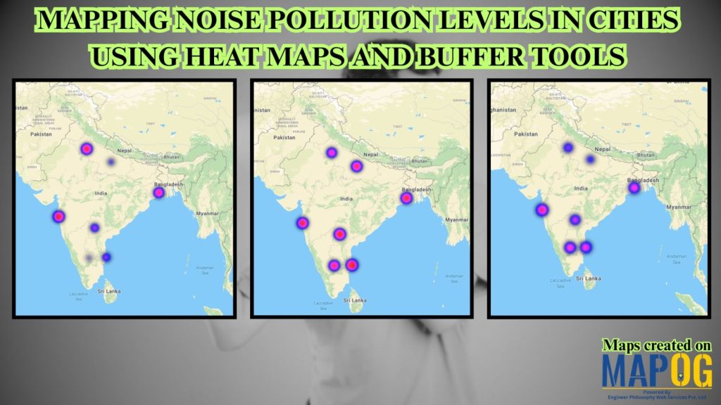
Mapping Noise Pollution Levels: Using Heat Maps and Buffer Tools

Mapping Noise Pollution Levels: Using Heat Maps and Buffer Tools

1…891011
Page 9 of 11
← Back to blog