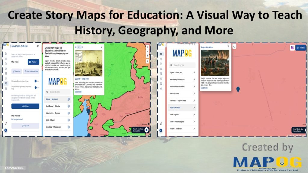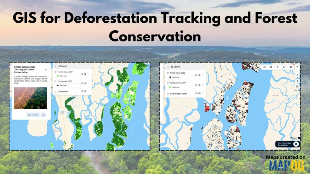
How to Use GIS for Deforestation Tracking and Forest Loss Analysis
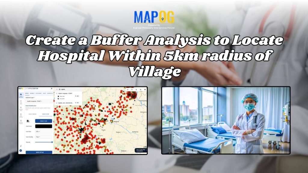
Create a Buffer Analysis to Locate Hospital Within 5km radius of Village
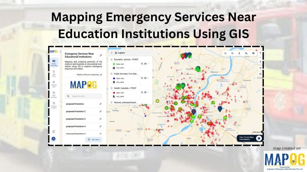
How to Map Emergency Services Near Educational Institutions Using GIS Tools
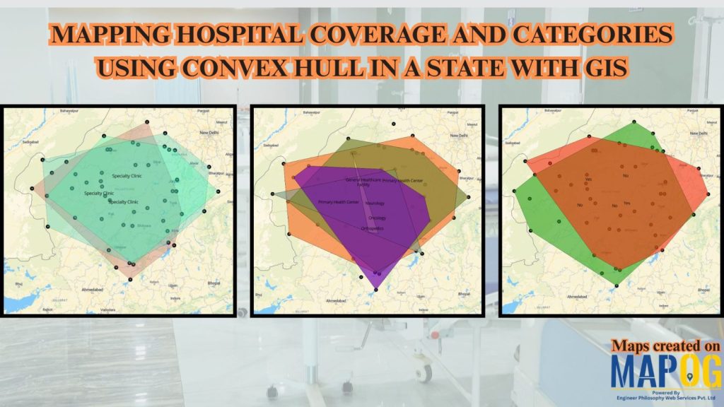
Mapping Rural Hospital Coverage Using GIS and Convex Hull
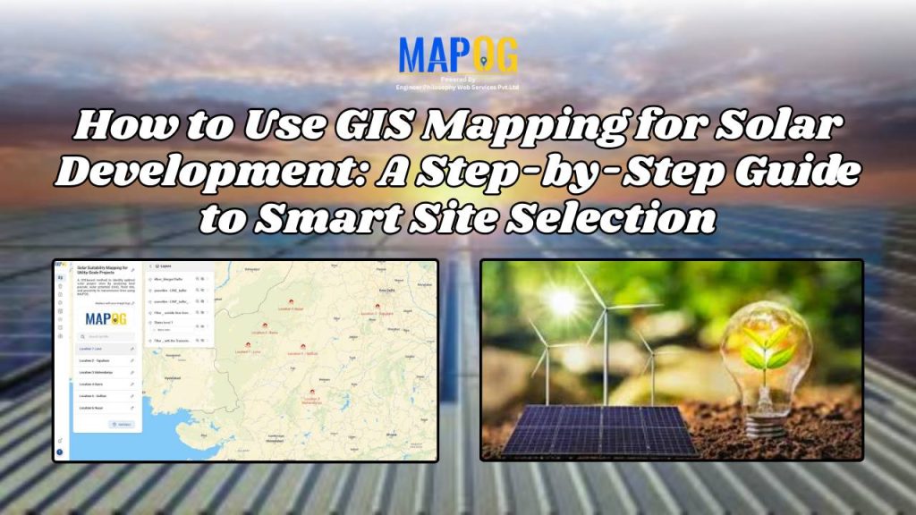
How to Use GIS Mapping for Solar Development: A Step-by-Step Guide to Smart Site Selection
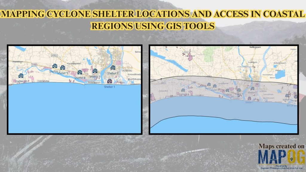
Mapping Cyclone Shelter Locations for Coastal Villages Using GIS
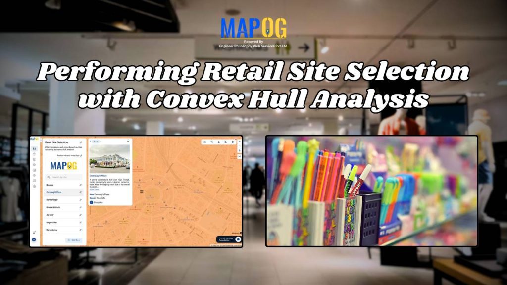
Performing Retail Site Selection with Convex Hull Analysis