#LocationAnalysis

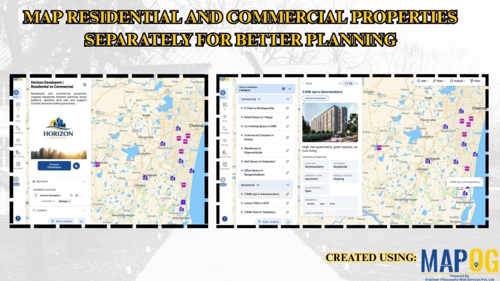
Map Residential and Commercial Properties Separately for Better Planning

Map Residential and Commercial Properties Separately for Better Planning

Traditional datasets mix property types, reducing spatial clarity and slowing analysis. MAPOG solves this by converting data into an interactive map with separate Residential and Commercial Properties layers, enabling clear visualization and smarter planning. Key Concept: Residential and Commercial Properties Instead of combining all properties, assets are grouped into separate map layers. Residential and commercial … Read more

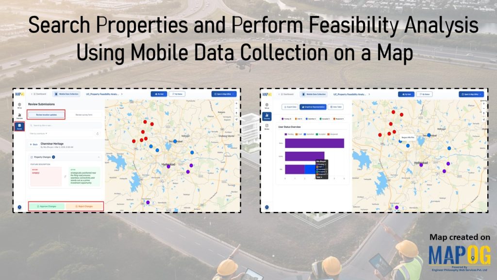
Interface showing location updates and user status dashboards with plotted points to search properties and perform feasibility using mobile data collection.

Search Properties and Perform Feasibility Analysis Using Mobile Data Collection on a Map

Real estate projects often stall because ownership records are unclear, zoning restrictions complicate approvals, and site accessibility or terrain conditions are poorly documented. Consequently, builders struggle to evaluate opportunities with confidence. Therefore, feasibility analysis is essential, transforming raw property data into insights on site conditions, market demand, and compliance. MAPOG streamlines feasibility analysis, enabling teams … Read more