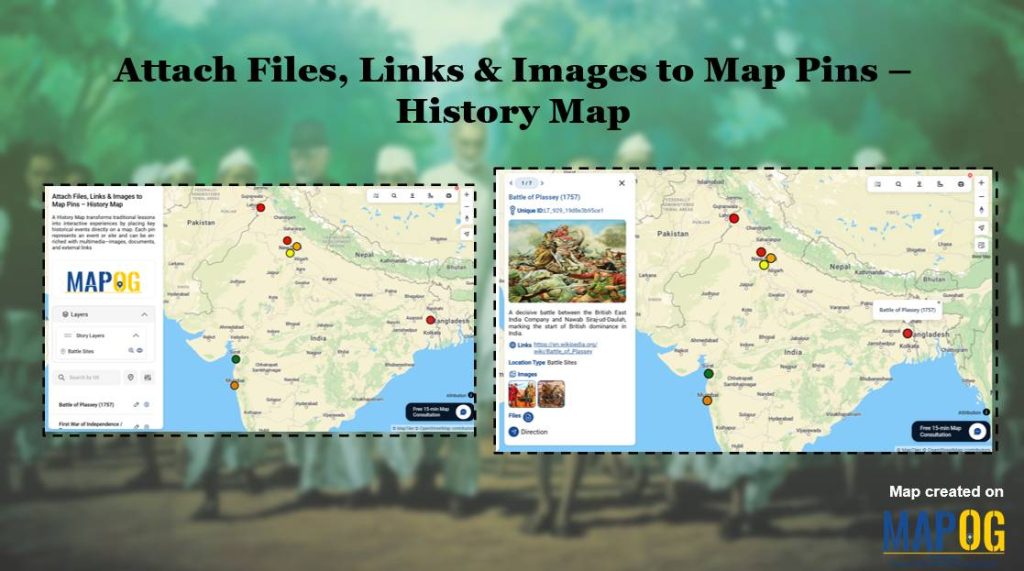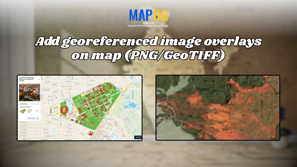
Add Georeferenced Image Overlays on Map (PNG/GeoTIFF)
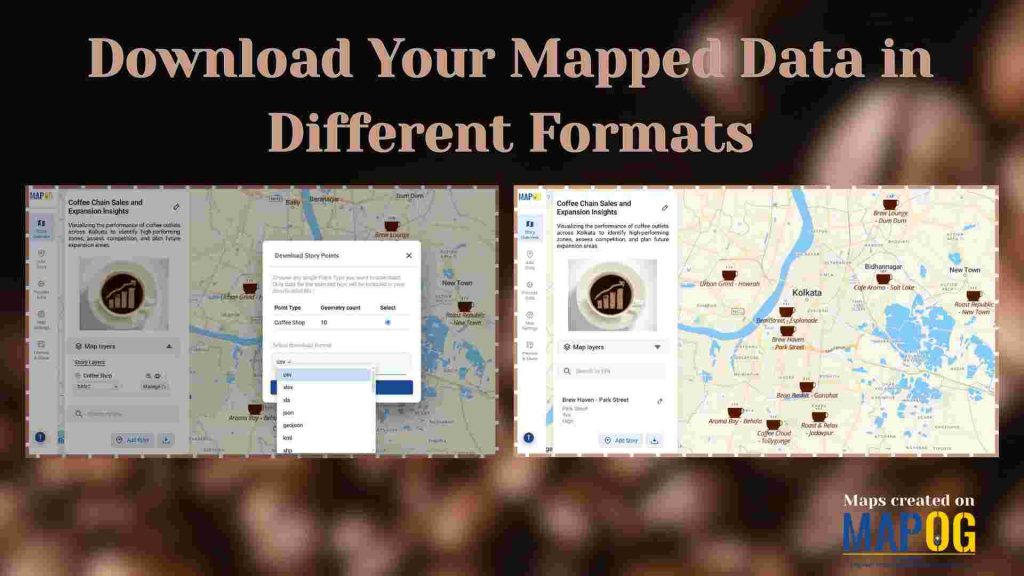
Download Your Mapped Data in Different Formats
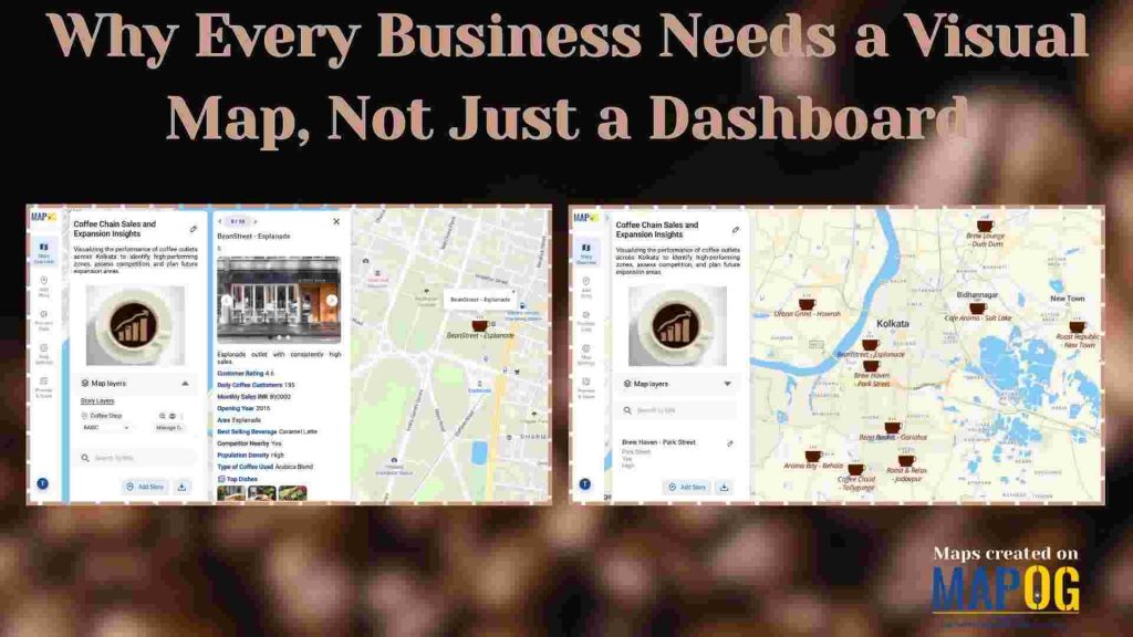
Why Every Business Needs a Visual Map, Not Just a Dashboard
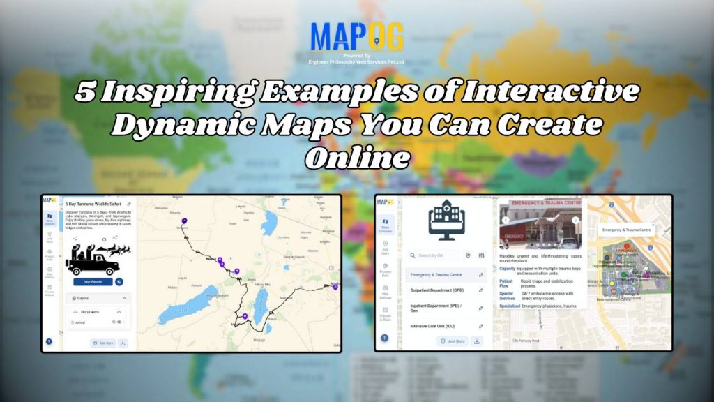
5 Inspiring Examples of Interactive Dynamic Maps You Can Create Online
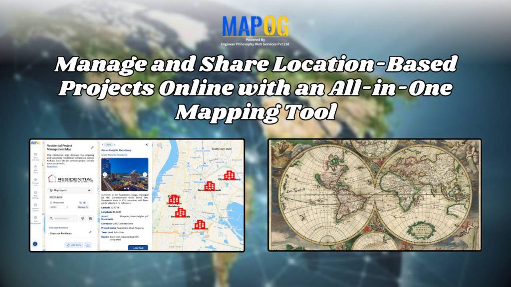
Manage and Share Location-Based Projects Online with an All-in-One Mapping Tool
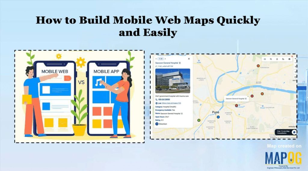
How to Build Mobile Web Maps Quickly and Easily
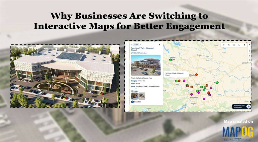
Why Businesses Are Switching to Interactive Maps for Better Engagement