Home Map Analysis Route Compass Download GIS Data Mobile Data Collection Field Sales & Service Territory Design Blog Contact Sign up
Tag

#GISMapping

334 articles in this collection

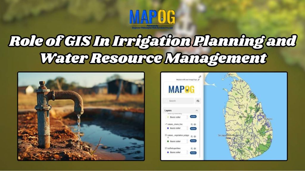
Role of GIS In Irrigation Planning and Water Resource Management
Role of GIS In Irrigation Planning and Water Resource Management

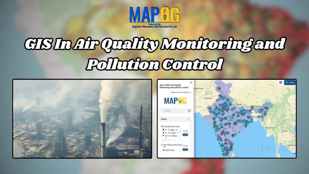
GIS In Air Quality Monitoring and Pollution Control
GIS In Air Quality Monitoring and Pollution Control

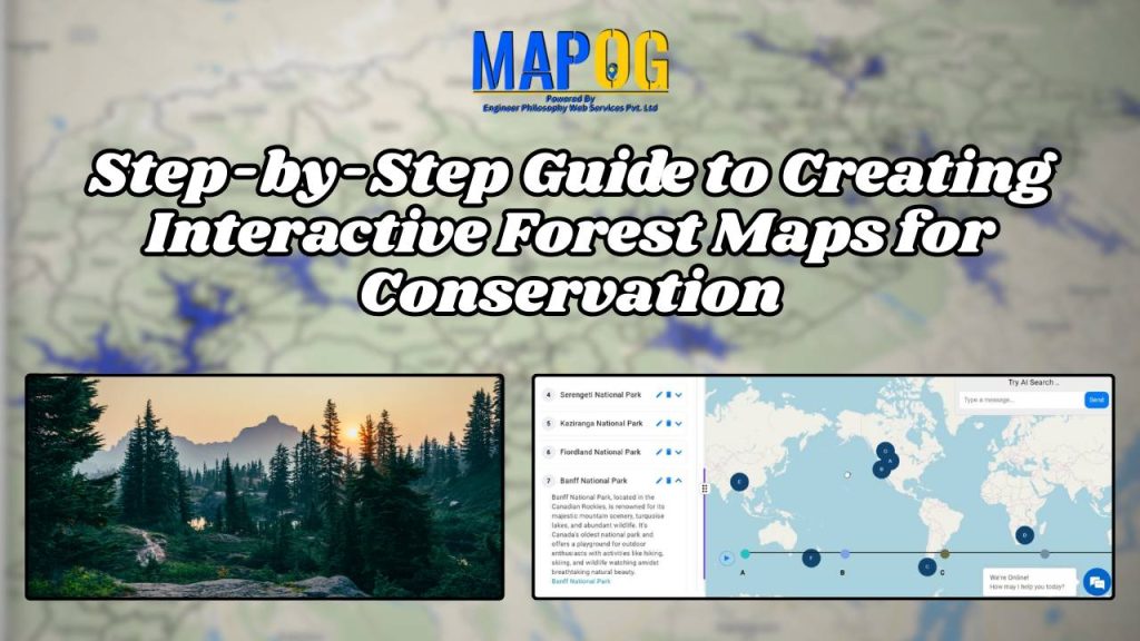
Step-by-Step Guide to Creating Interactive Forest Maps for Conservation
Step-by-Step Guide to Creating Interactive Forest Maps for Conservation

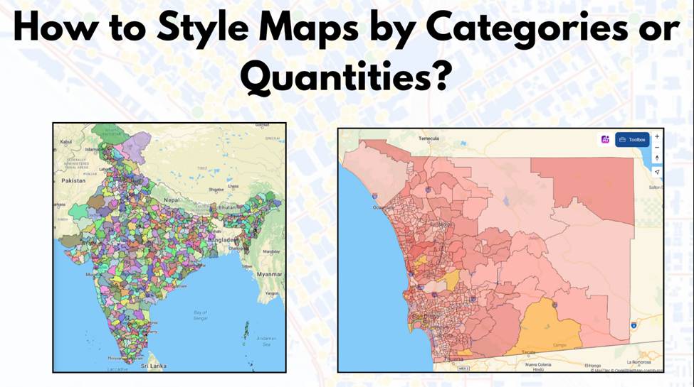
How to Style Maps by Categories or Quantities in MAPOG?
How to Style Maps by Categories or Quantities in MAPOG?

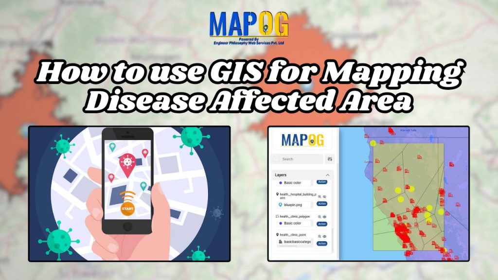
How to use GIS for Mapping Disease Affected Area
How to use GIS for Mapping Disease Affected Area

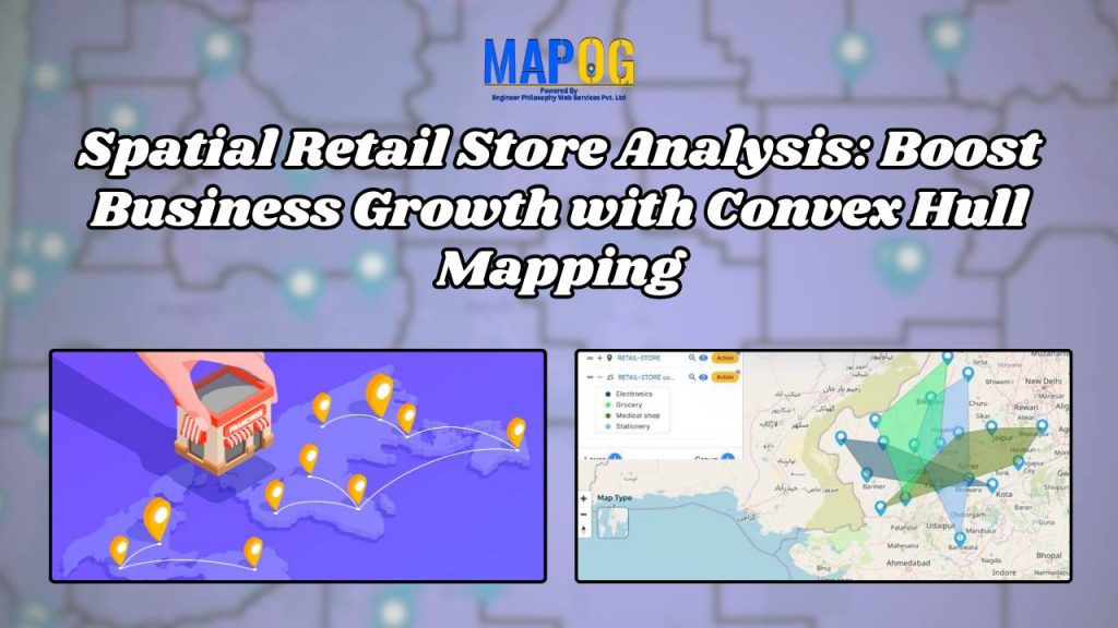
Spatial Retail Store Analysis: Boost Business Growth with Convex Hull Mapping
Spatial Retail Store Analysis: Boost Business Growth with Convex Hull Mapping

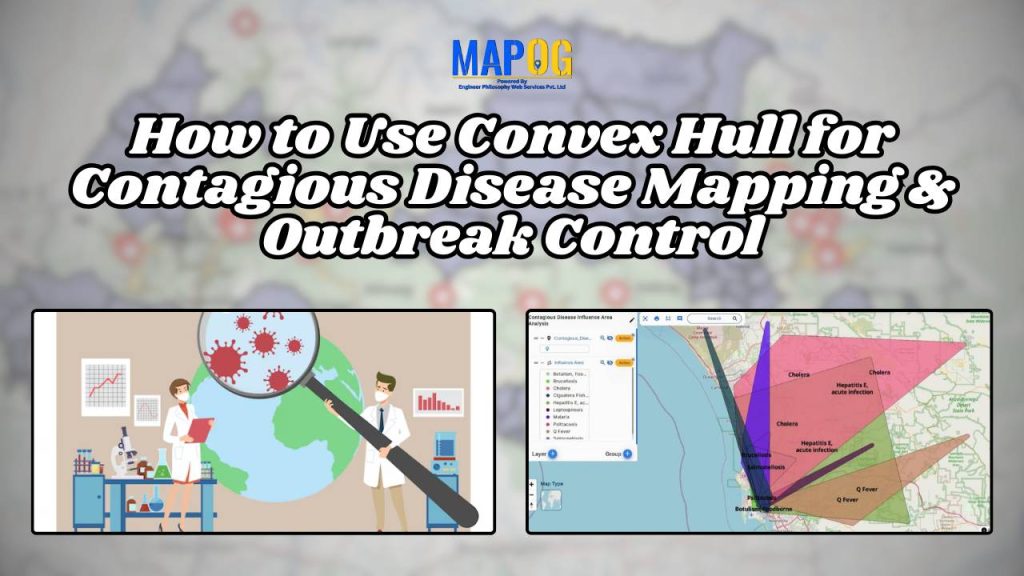
How to Use Convex Hull for Contagious Disease Mapping & Outbreak Control
How to Use Convex Hull for Contagious Disease Mapping & Outbreak Control

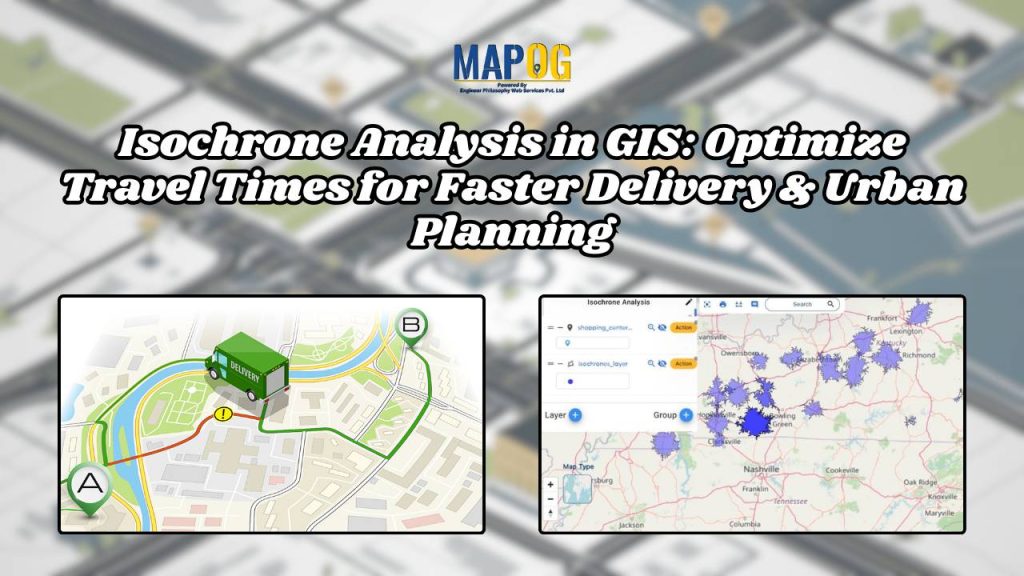
Isochrone Analysis in GIS: Optimize Travel Times for Faster Delivery & Urban Planning

Isochrone Analysis in GIS: Optimize Travel Times for Faster Delivery & Urban Planning

1…293031…42
Page 30 of 42
← Back to blog