Home Map Analysis Route Compass Download GIS Data Mobile Data Collection Field Sales & Service Territory Design Blog Contact Sign up
Tag

#GISMapping

334 articles in this collection

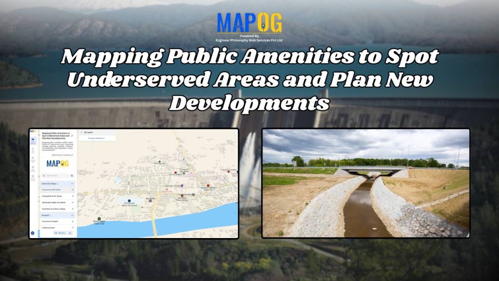
Public Amenities Mapping with GIS: How Cities Can Improve Schools, Hospitals, Parks & Community Services
Public Amenities Mapping with GIS: How Cities Can Improve Schools, Hospitals, Parks & Community Services

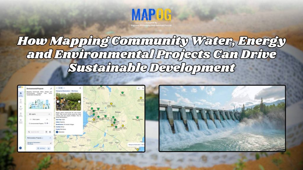
How Interactive Maps Drive Community Water, Energy, and Environmental Projects

How Interactive Maps Drive Community Water, Energy, and Environmental Projects

Interactive Map of Top Colleges and Universities for Students: A Complete Guide to Choosing the Right Institution
Interactive Map of Top Colleges and Universities for Students: A Complete Guide to Choosing the Right Institution

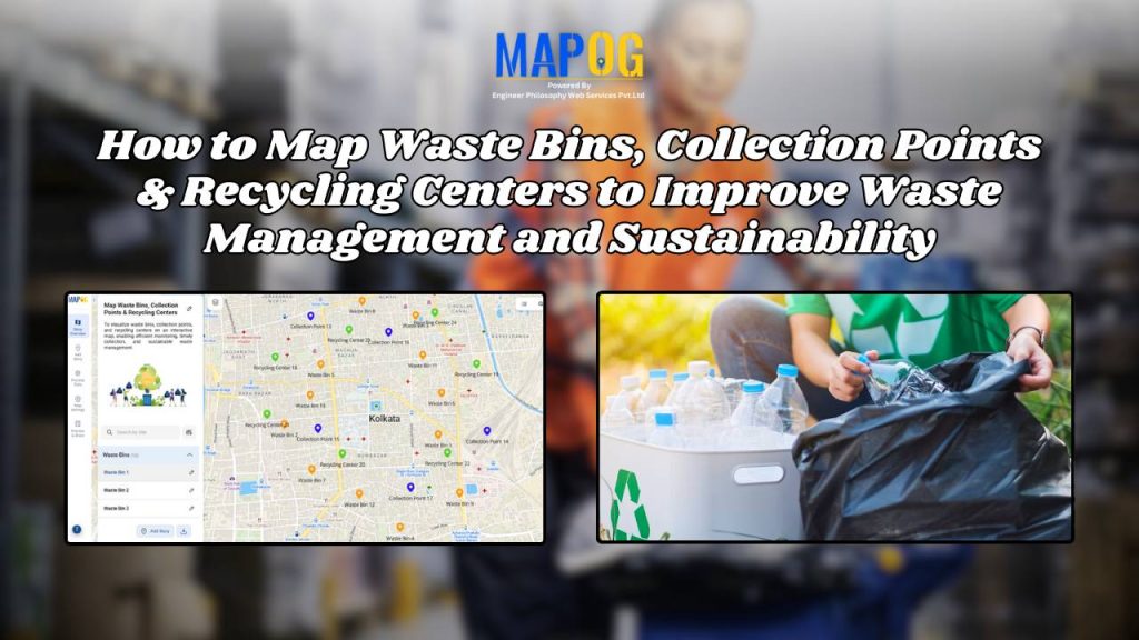
How to Map Waste Bins, Collection Points & Recycling Centers to Improve Waste Management and Sustainability
How to Map Waste Bins, Collection Points & Recycling Centers to Improve Waste Management and Sustainability

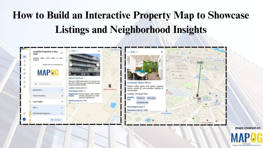
How to Create an Interactive Property Map to Showcase Real Estate Listings & Neighborhood Insights (Step-by-Step Guide)
How to Create an Interactive Property Map to Showcase Real Estate Listings & Neighborhood Insights (Step-by-Step Guide)

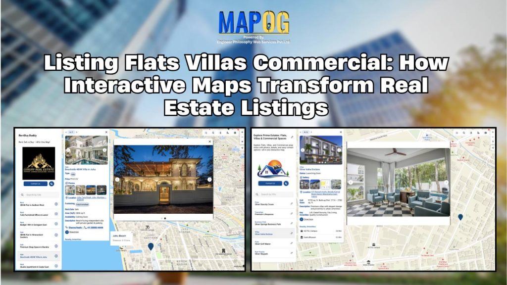
How to List Flats, Villas & Commercial Properties on One Interactive Map
How to List Flats, Villas & Commercial Properties on One Interactive Map

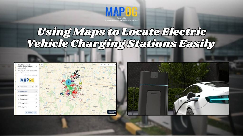
How to Map Electric Vehicle Charging Stations Using GIS for Smarter Route Planning
How to Map Electric Vehicle Charging Stations Using GIS for Smarter Route Planning

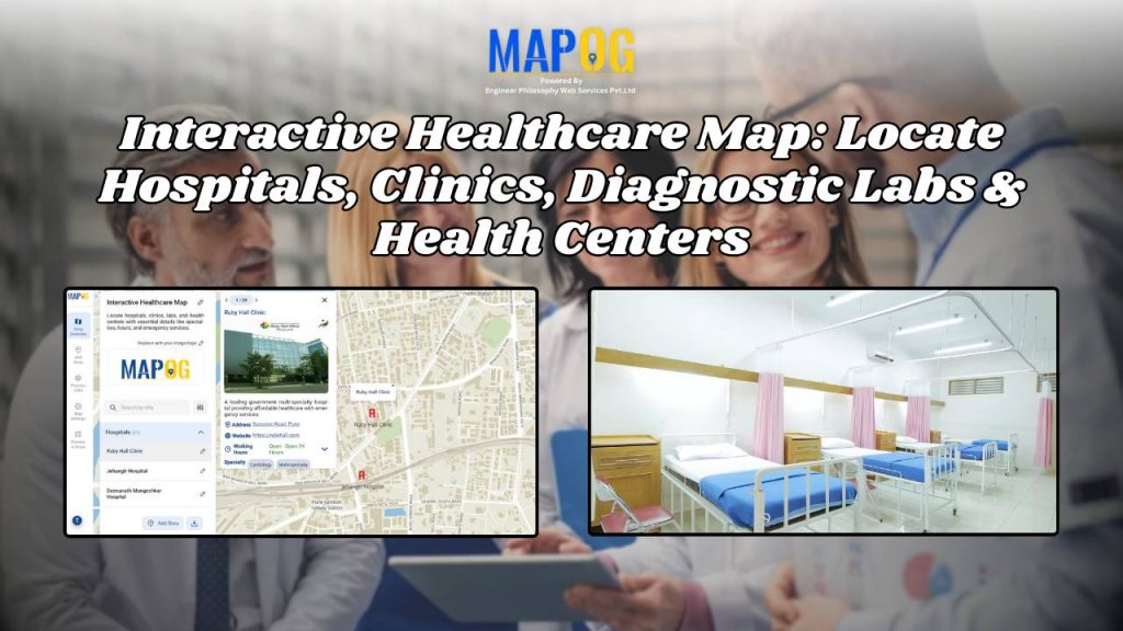
How to Create an Interactive Healthcare Map: Visualize Hospitals, Clinics, and Diagnostic Labs

How to Create an Interactive Healthcare Map: Visualize Hospitals, Clinics, and Diagnostic Labs

1…192021…42
Page 20 of 42
← Back to blog