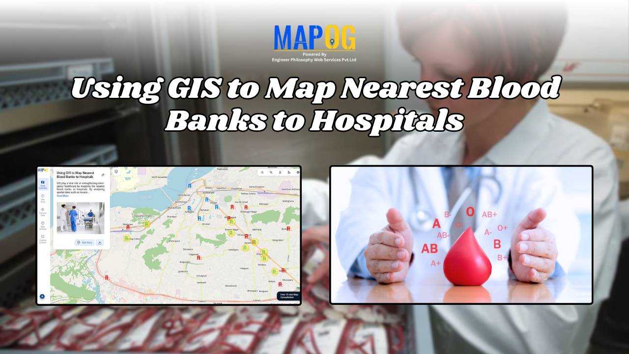
How GIS Maps the Nearest Blood Banks to Hospitals for Faster Emergency Response
GIS to Map Nearest Blood Banks to Hospitals is revolutionizing emergency healthcare infrastructure. This powerful application enables medical professionals, urban planners, and public health officials to improve accessibility, cut response times, and ensure blood availability during crises. MAPOG provides real-time insights, helping decision-makers coordinate resources and strengthen healthcare networks. Why Use GIS for Mapping the … Read more