GIS to Map Nearest Blood Banks to Hospitals is revolutionizing emergency healthcare infrastructure. This powerful application enables medical professionals, urban planners, and public health officials to improve accessibility, cut response times, and ensure blood availability during crises. MAPOG provides real-time insights, helping decision-makers coordinate resources and strengthen healthcare networks.
Why Use GIS for Mapping the Nearest Blood Banks to Hospitals?
In emergencies, locating the closest blood bank can certainly mean the difference between life and death. GIS eventually allows analysis of spatial relationships, traffic conditions, and travel time, helping hospitals choose the most optimal facility. With MAPOG’s intuitive interface, users can significantly overlay hospital and blood bank locations, evaluate distance and accessibility, and respond quickly to urgent needs.
Key Benefits
- Faster Response Times – Visualize shortest routes and real-time traffic to connect hospitals and blood banks rapidly.
- Optimized Resources – Efficiently distribute blood units and particularly identify areas facing shortages.
- Data-Driven Planning – Access up-to-date data on availability, proximity, and accessibility for proactive crisis management.
- Better Public Health Coverage – Spot underserved regions needing more blood banks or hospital support.
How to Use MAPOG for Mapping the Nearest Blood Banks to Hospitals
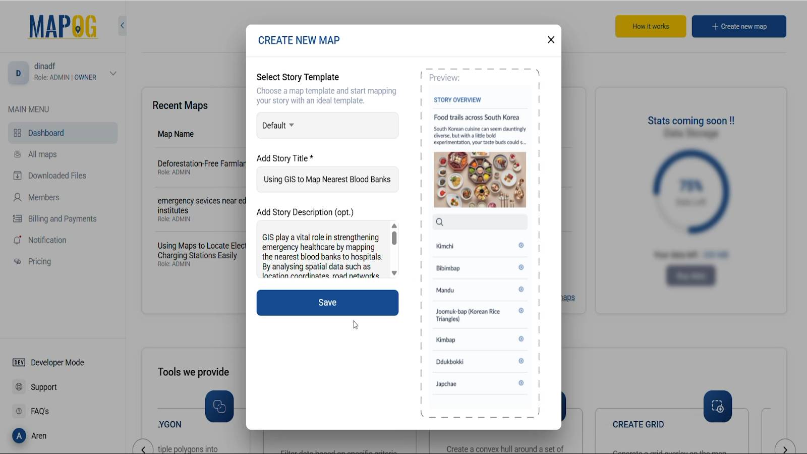
- Create a New Map
- Click “Create New Map” on MAPOG
- Add a title, description, and an image symbolizing your Hospital–Blood Bank map specifically.
- Save your map.
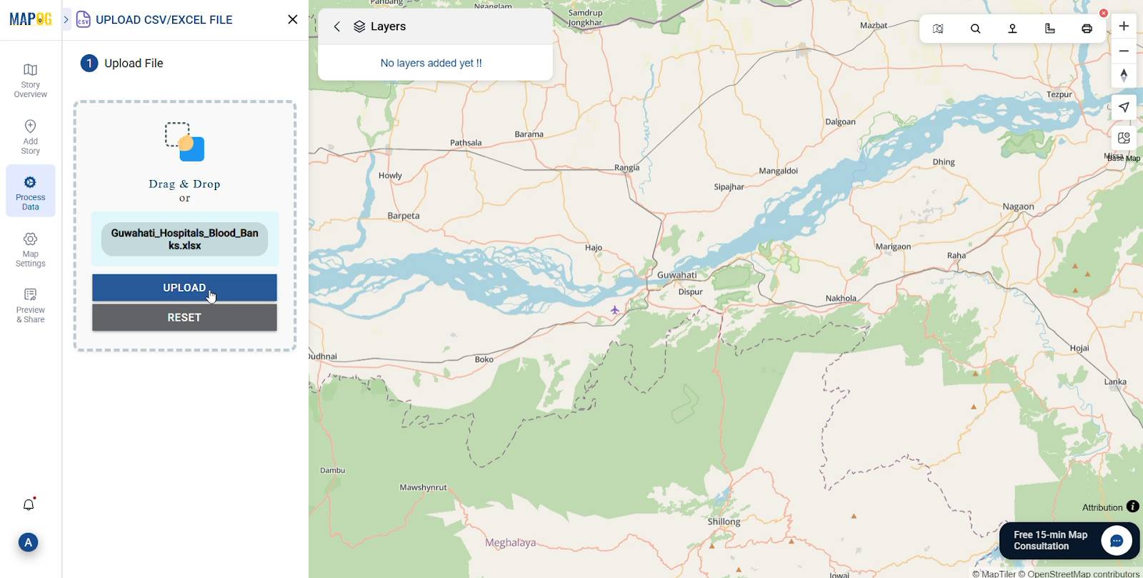
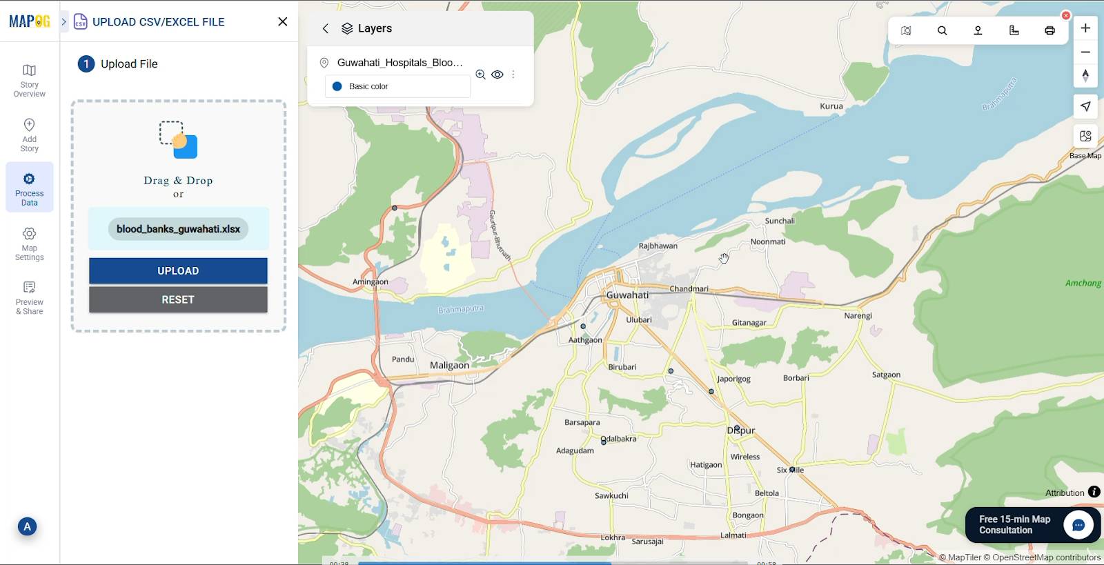
- Add Data
- Click on Process Data and under “Add/Upload Data” select Upload CSV/Excel data for hospitals and blood banks.
- Click Upload to display them on your map.
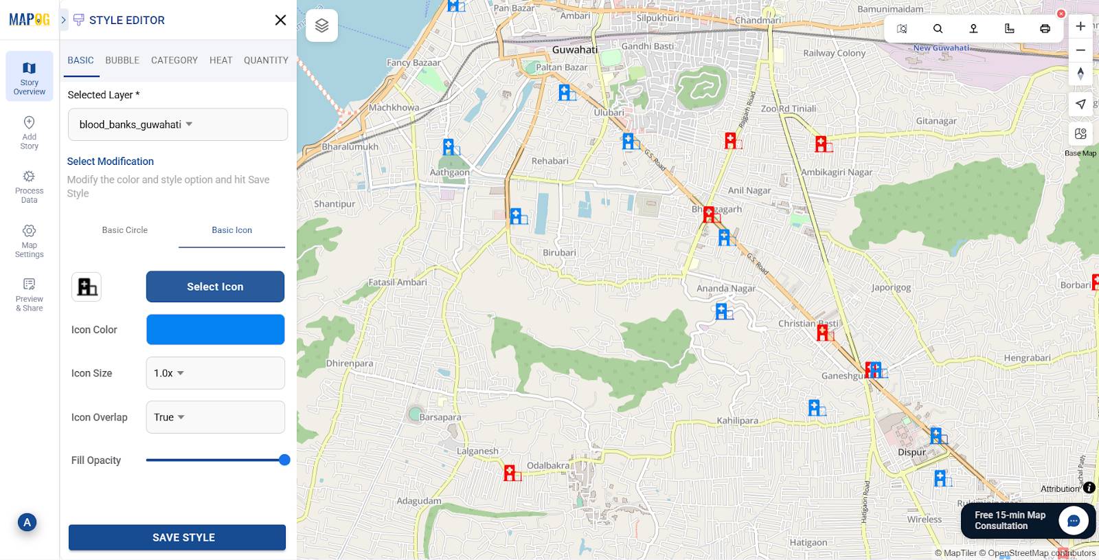
- Customize Points with Style Layer option
- Similarly assign unique icons for hospitals and blood banks.
- Use Style layer to assign and visualise the symbols accordingly.
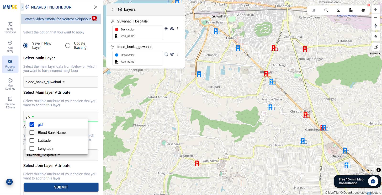
- Use Nearest Neighbour Tool
- Use the nearest neighbour tool to indicate the nearby Blood Banks to the Hospitals.
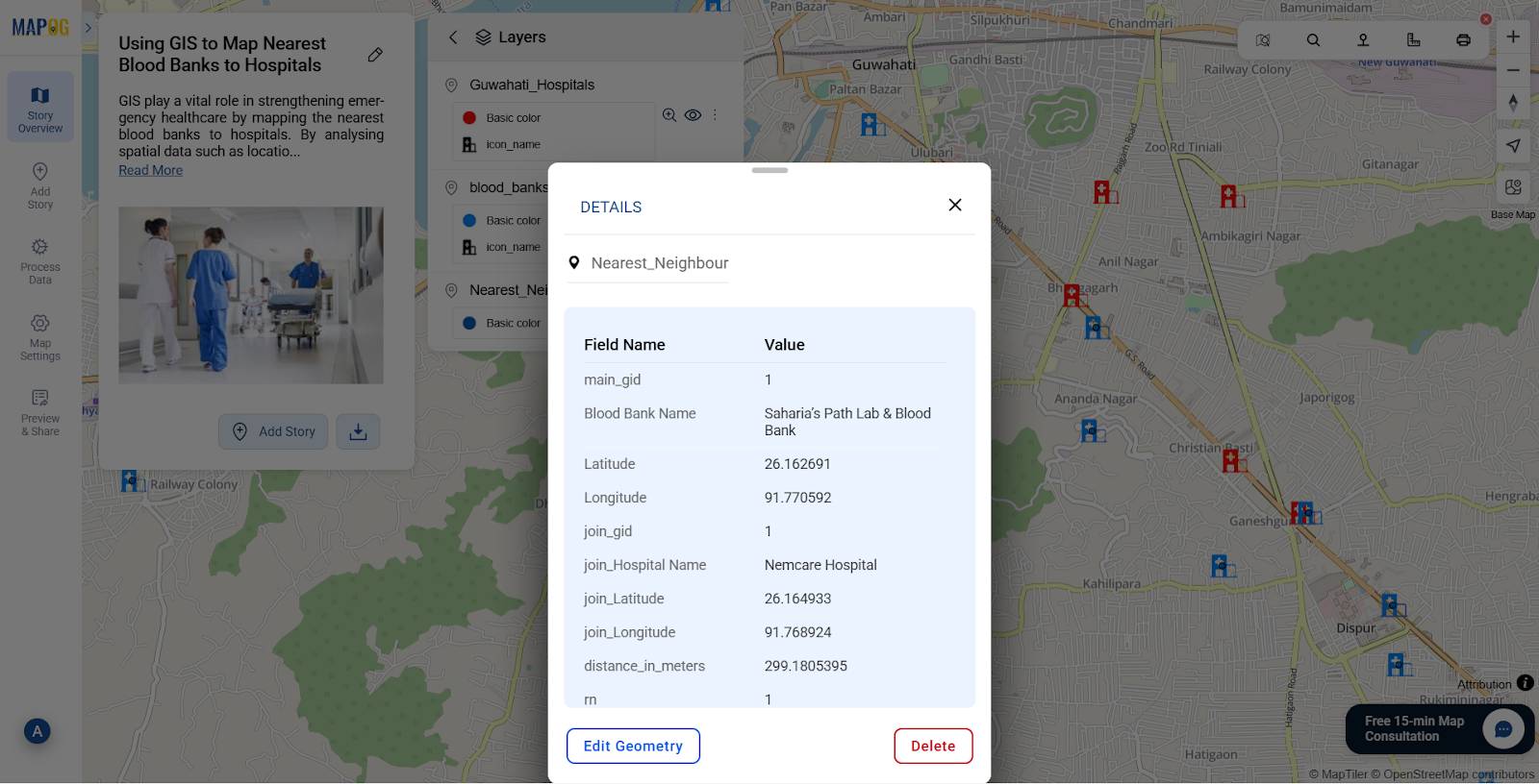
- Input the Main layer i.e. Blood Banks and the joining layer i.e. Hospitals in the tool. Combine the attributes specifically like gid, blood bank name from the main Blood Bank layer and address, open time, Latitude and Longitude from the Hospital layer.
- Mention a Radius distance of 1-2 Kms to effectively understand the proximity of the blood banks.
- Save it by Clicking on Save in a new layer.

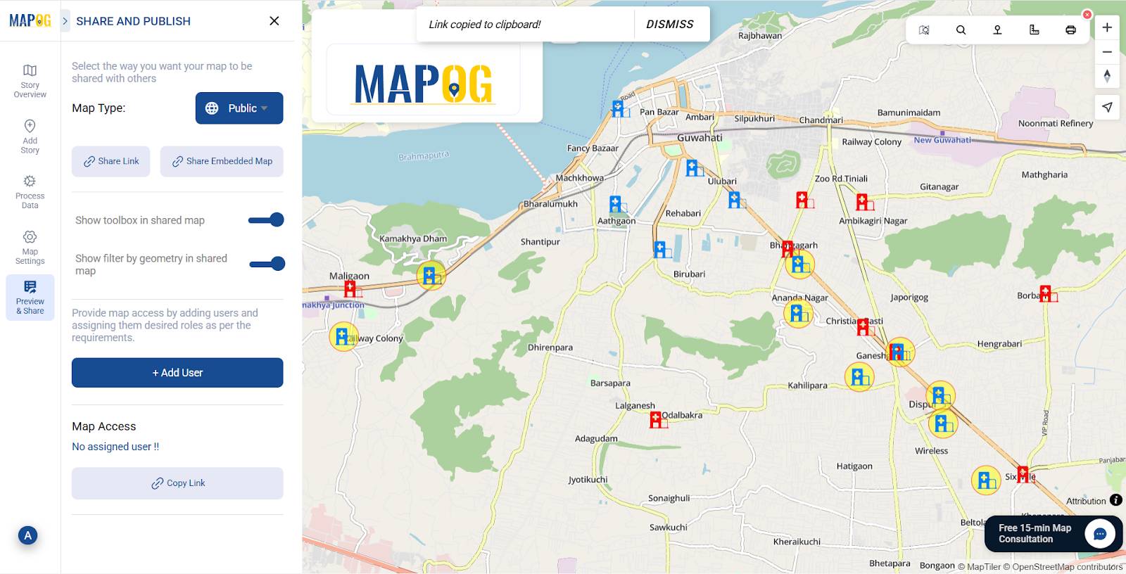
- Preview and Share
- Review your map, then use Preview & Share to distribute it with emergency response teams or healthcare networks for coordinated action.
Industry & Benefits
Using GIS to Map Nearest Blood Banks to Hospitals during disasters or mass casualty events can mean the difference between rapid care and delayed treatment. In densely populated cities, it reveals healthcare gaps significantly, enabling authorities to add resources where needed.
Conclusion
Therefore GIS mapping of nearest blood banks to hospitals isn’t just a visualization tool, it’s a lifesaving strategy. MAPOG equips healthcare providers with real-time spatial data for faster, smarter decision-making. Whether for an accident victim or during a large-scale emergency, a GIS-enabled hospital–blood bank network ensures critical resources are always within reach.
Have you ever tried mapping hospitals and blood banks using GIS? Share your experience in the comments!
More from MAPOG:
- Protecting Wetlands: Guide to Create GIS Map for Nature
- Fast Emergency Response: Using GIS and Isochrone Maps for 10-Minute Ambulance Arrival
- Make Routes for Military Aerial Planning- Through Bearing angle and Distance calculation – Online Route Compass
- GIS Analysis in Urban Planning: Reshaping Transportation Future Insights of state/city