Home Map Analysis Route Compass Download GIS Data Mobile Data Collection Field Sales & Service Territory Design Blog Contact Sign up
Category

MAPOG Analysis

405 articles in this collection

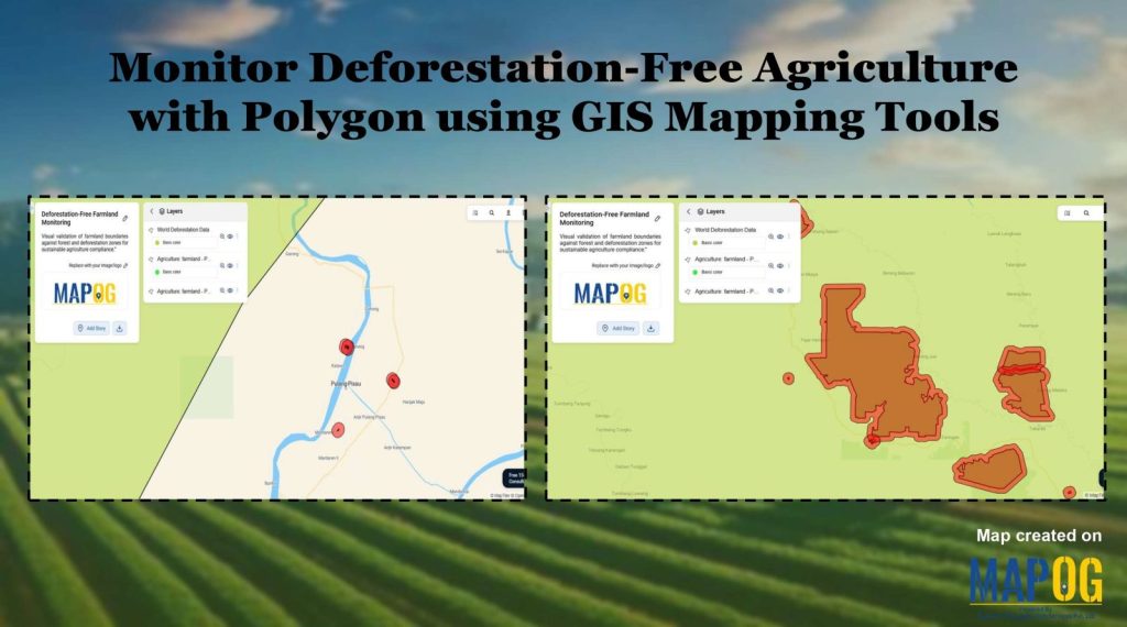
Monitor Deforestation-Free Farming Using GIS Mapping and Spatial Analysis Tools
Monitor Deforestation-Free Farming Using GIS Mapping and Spatial Analysis Tools

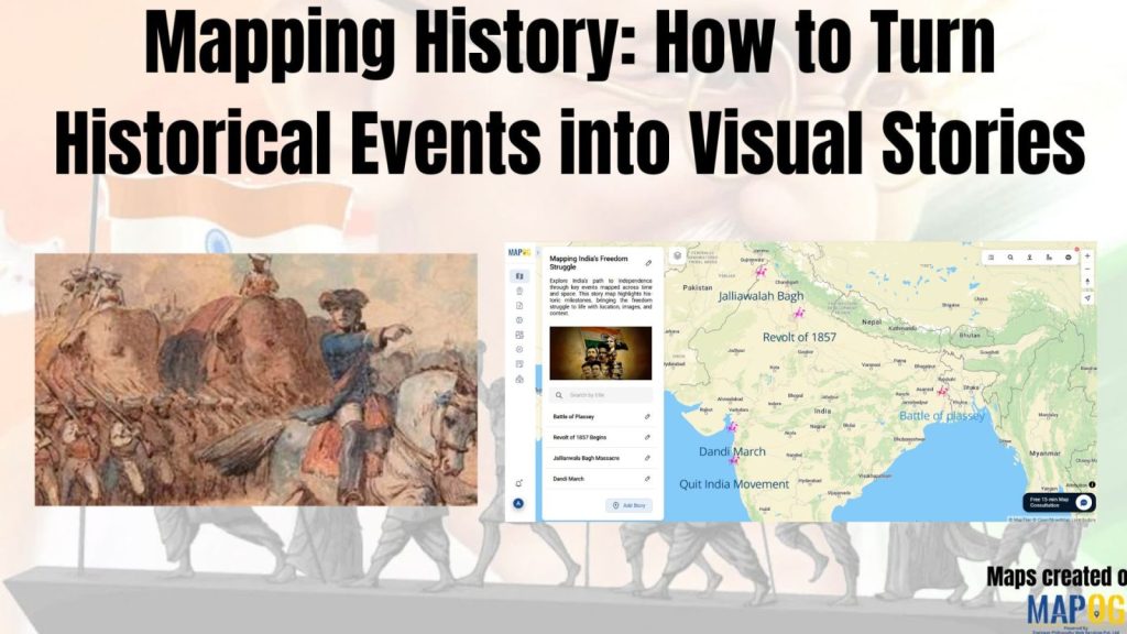
Mapping History with GIS: Turn Historical Events into Interactive Stories
Mapping History with GIS: Turn Historical Events into Interactive Stories

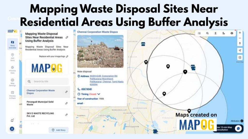
How to Map Waste Disposal Sites Near Residential Areas Using GIS Buffer Analysis
How to Map Waste Disposal Sites Near Residential Areas Using GIS Buffer Analysis

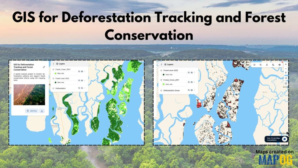
How to Use GIS for Deforestation Tracking and Forest Loss Analysis
How to Use GIS for Deforestation Tracking and Forest Loss Analysis

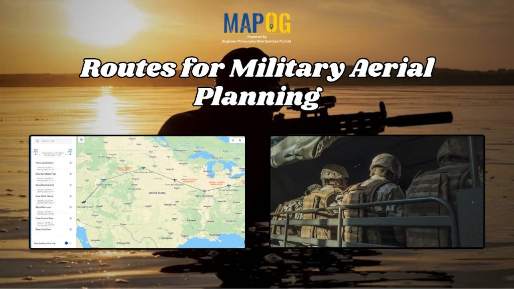
Mapping Military Flight Paths: How GIS Helps Calculate Distance and Bearing Angles
Mapping Military Flight Paths: How GIS Helps Calculate Distance and Bearing Angles

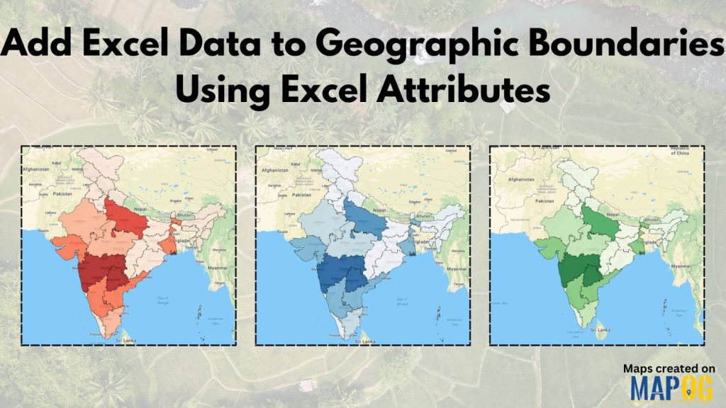
Visualize Excel Data on a Map: Join Spreadsheet Data with Location Layers

Visualize Excel Data on a Map: Join Spreadsheet Data with Location Layers

Create a Buffer Analysis to Locate Hospital Within 5km radius of Village
Create a Buffer Analysis to Locate Hospital Within 5km radius of Village

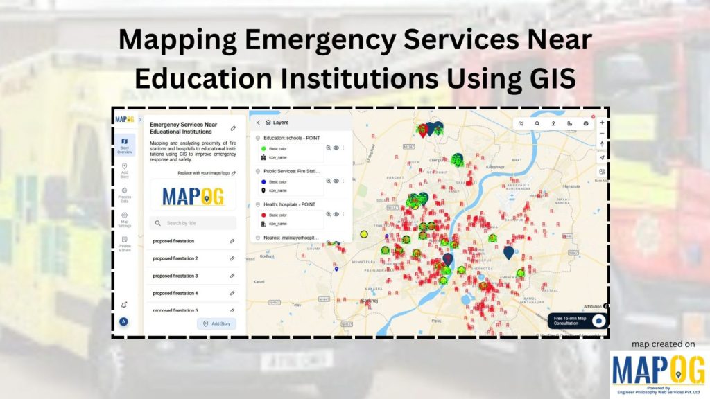
How to Map Emergency Services Near Educational Institutions Using GIS Tools

How to Map Emergency Services Near Educational Institutions Using GIS Tools

1…242526…51
Page 25 of 51
← Back to blog