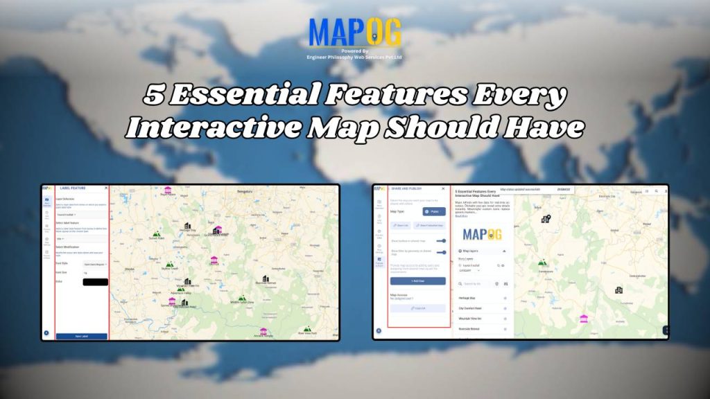
5 Essential Features Every Interactive Map Should Have
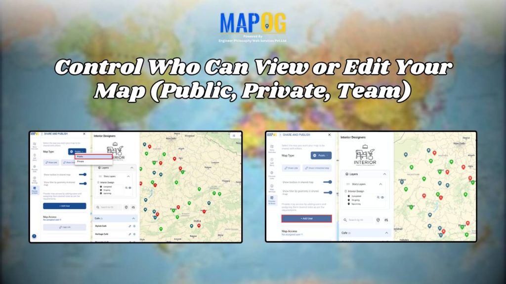
Control Who Can View or Edit Your Map (Public, Private, Team)
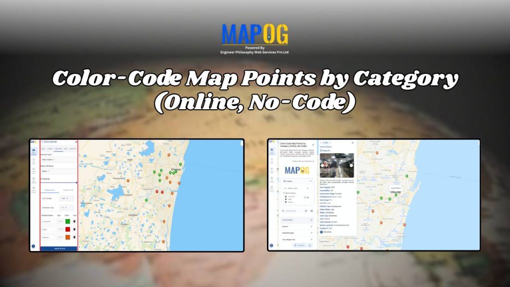
Color-Code Map Points by Category (Online, No-Code)
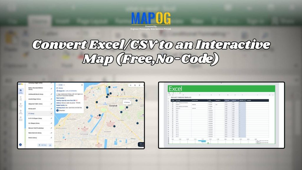
Convert Excel/CSV to an Interactive Map (Free, No-Code)
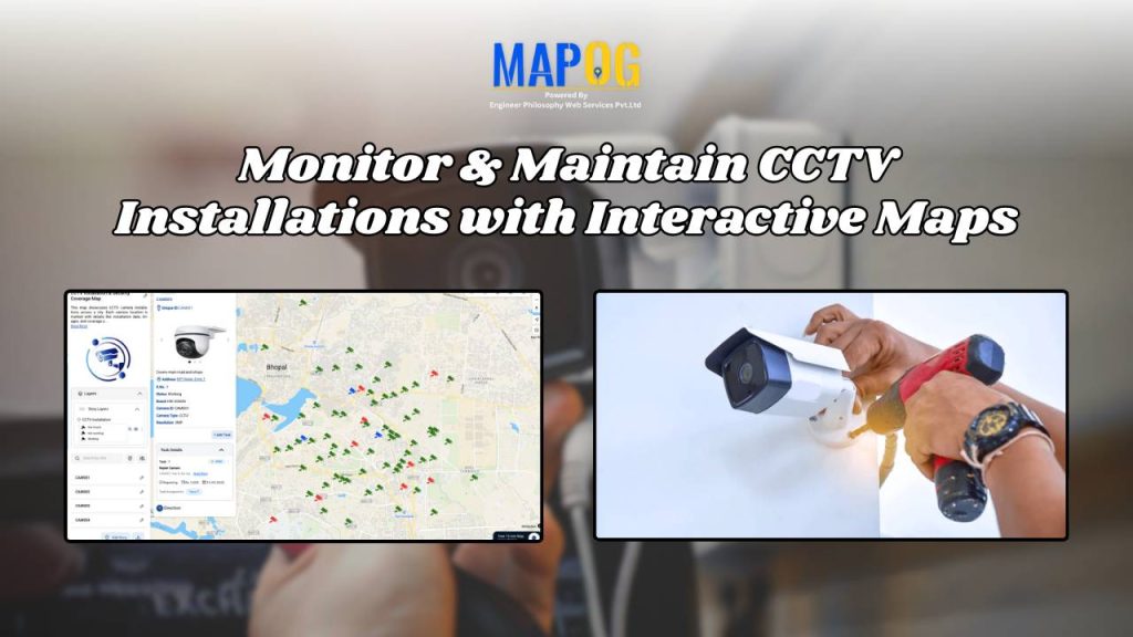
Monitor & Maintain CCTV Installations with Interactive Maps
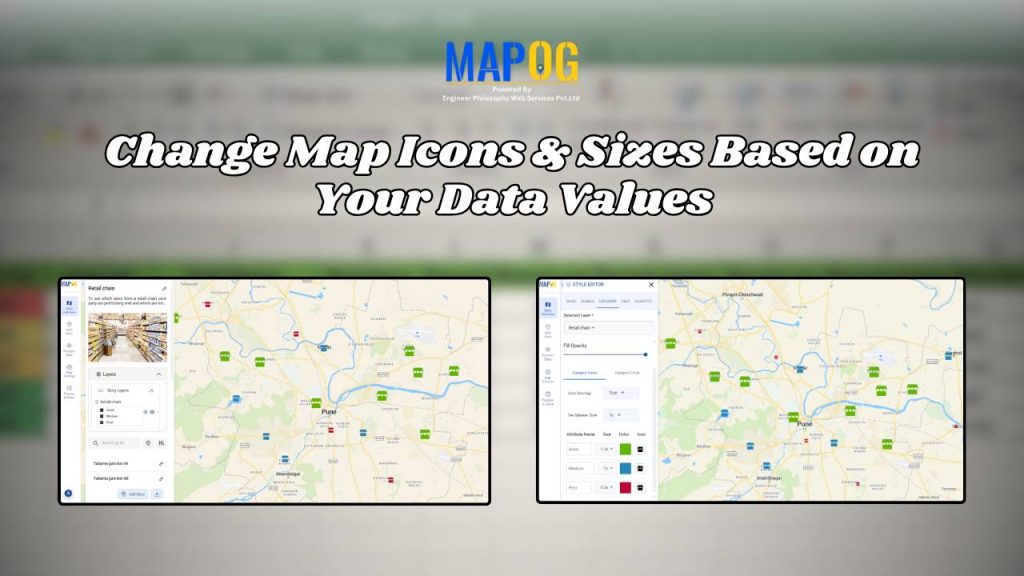
Change Map Icons & Sizes Based on Your Data Values
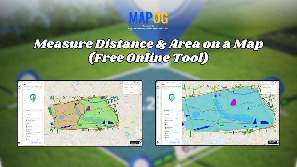
Measure Distance & Area on a Map (Free Online Tool)