Home Map Analysis Route Compass Download GIS Data Mobile Data Collection Field Sales & Service Territory Design Blog Contact Sign up
Category

Interactive Mapping

225 articles in this collection

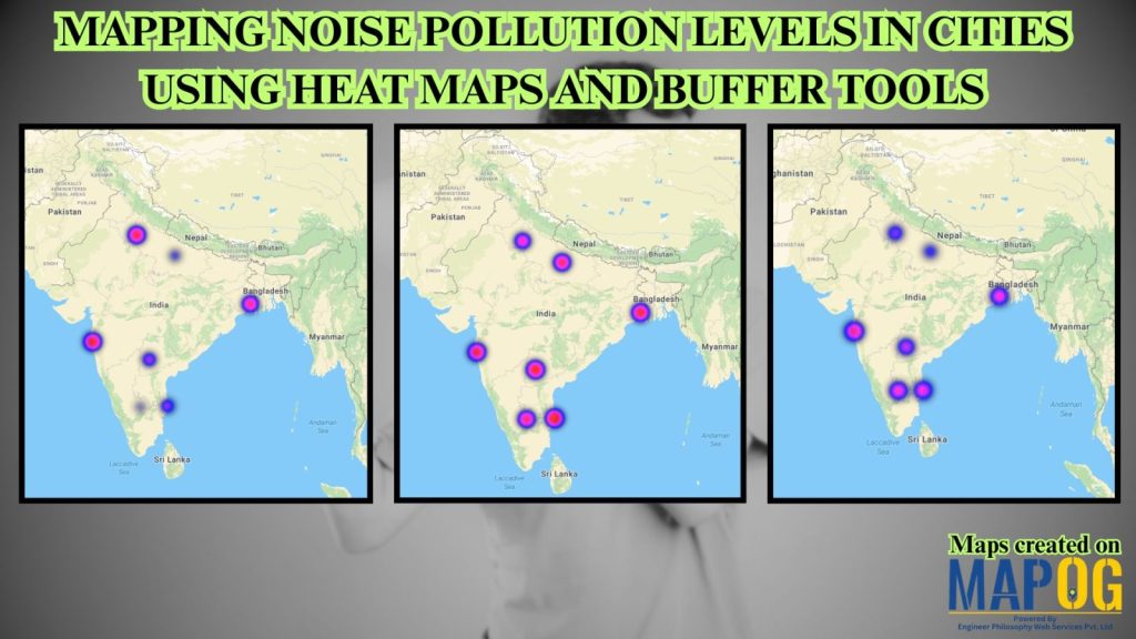
Mapping Noise Pollution Levels: Using Heat Maps and Buffer Tools
Mapping Noise Pollution Levels: Using Heat Maps and Buffer Tools

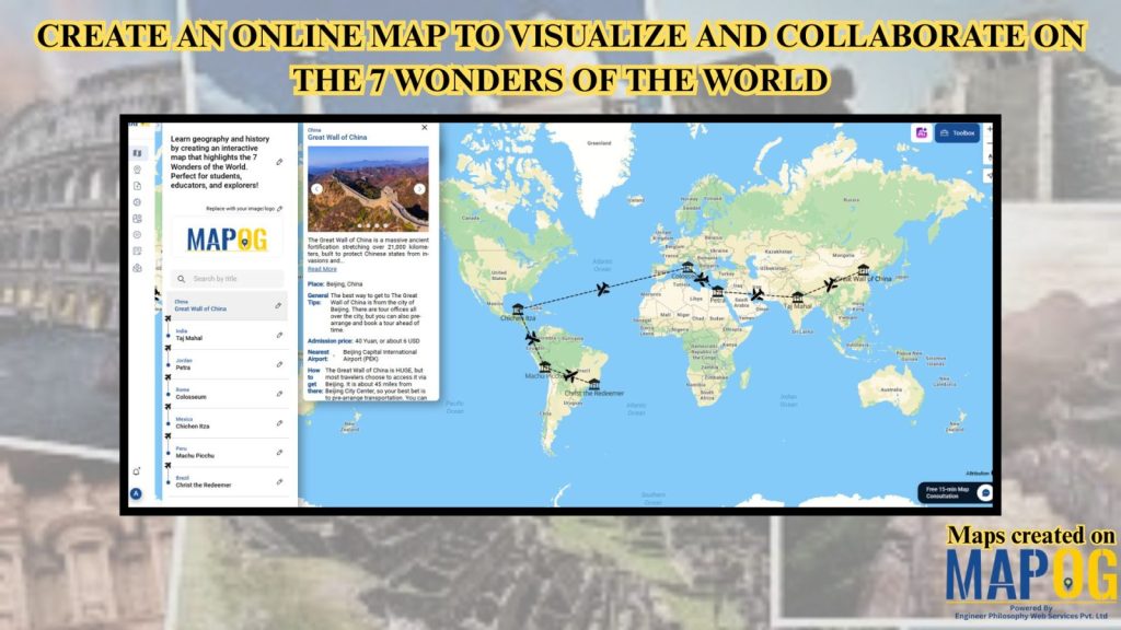
Learn geography & history by creating an interactive map that highlights the 7 Wonders of the World.
Learn geography & history by creating an interactive map that highlights the 7 Wonders of the World.

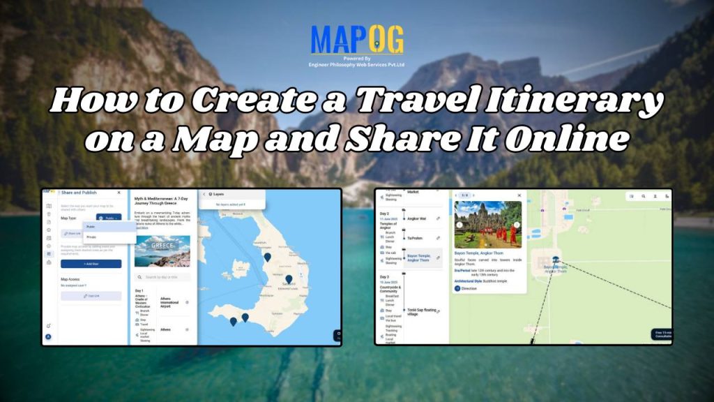
How to Create a Travel Itinerary on a Map and Share It Online
How to Create a Travel Itinerary on a Map and Share It Online

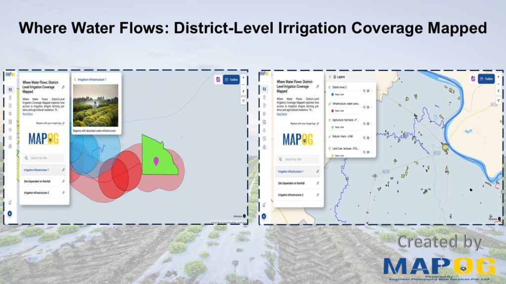
District-Level Irrigation Planning with GIS: Tools, Techniques, and Real-Life Use Cases
District-Level Irrigation Planning with GIS: Tools, Techniques, and Real-Life Use Cases

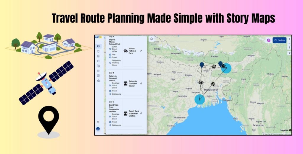
Travel Route Planning Made Simple with Story Maps
Travel Route Planning Made Simple with Story Maps

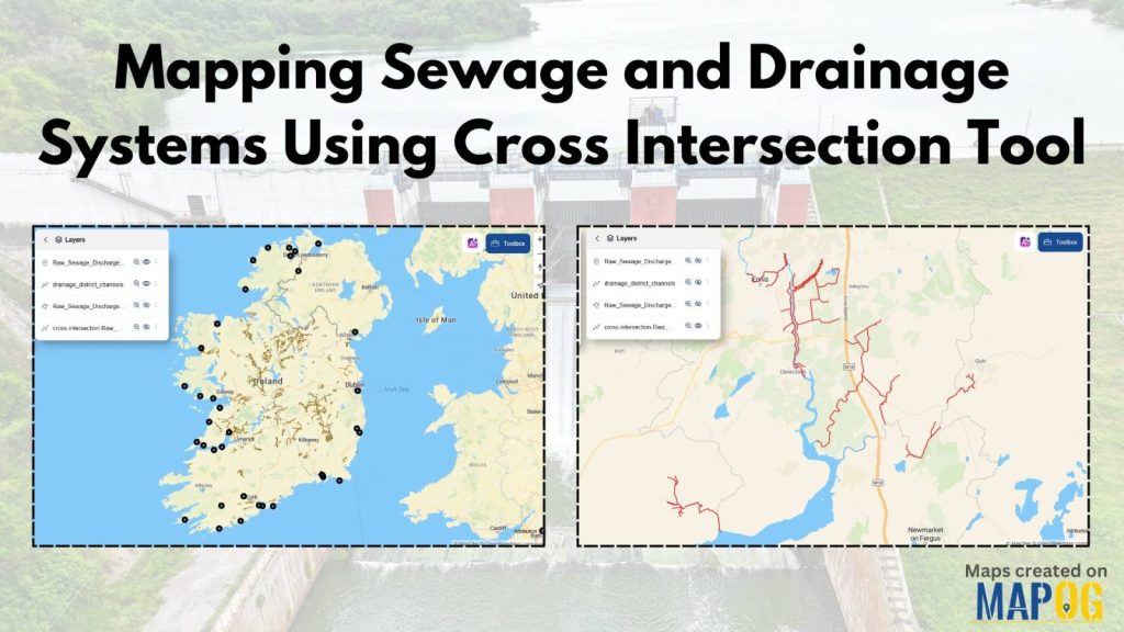
Mapping Sewage and Drainage Systems Using Cross Intersection Tool
Mapping Sewage and Drainage Systems Using Cross Intersection Tool

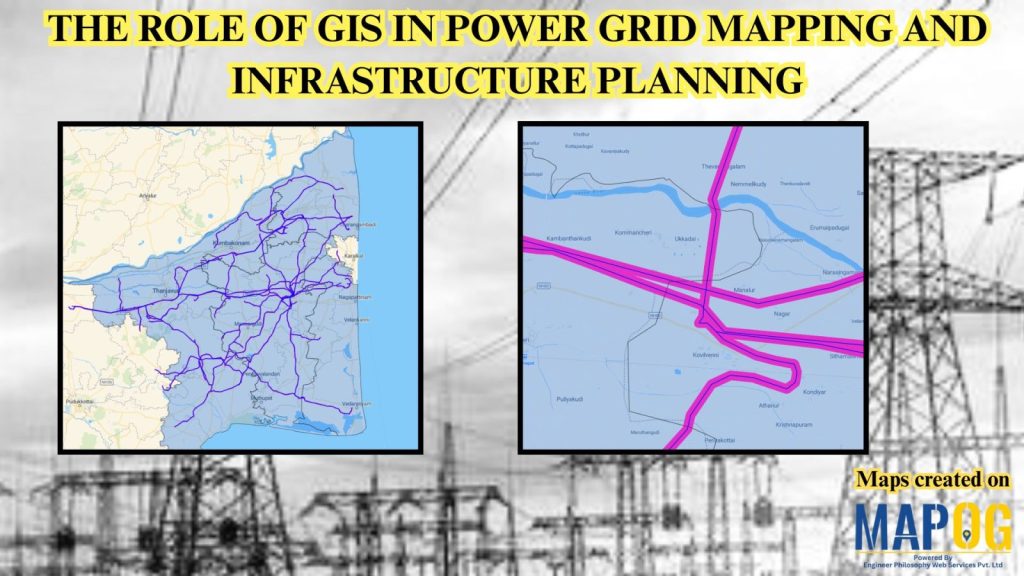
Power Grid and Infrastructure mapping and planning using GIS
Power Grid and Infrastructure mapping and planning using GIS

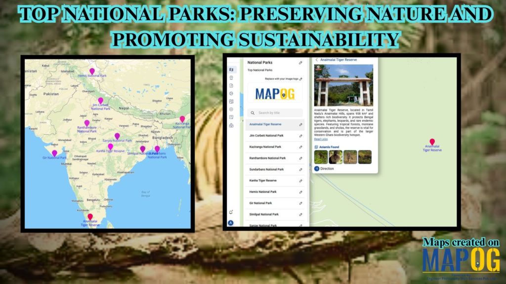
Mapping Top National Parks: Preserving Nature

Mapping Top National Parks: Preserving Nature

1…26272829
Page 27 of 29
← Back to blog