Mastering Spatial Join with Intersect Clause: A Key GIS Technique for Data Integration
Spatial Join analysis unveils hidden insights by merging geographic data, revealing patterns and correlations crucial for informed decisions.
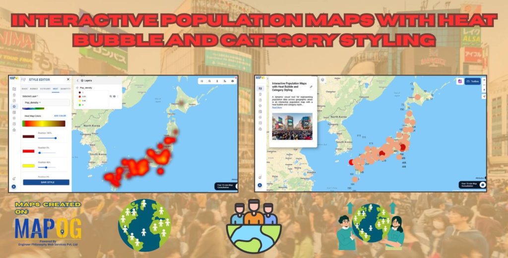
Thematic Mapping for Data Analysis is a powerful technique used to visualize complex datasets by representing geographic patterns through color-coded maps and scalable symbols. One of the most effective methods in thematic mapping is Bubble Thematic Mapping, where data points are displayed as bubbles of varying sizes, proportional to a specific attribute such as population … Read more
In Geographic Information Systems (GIS), a polygon is a fundamental geometric shape used to represent closed areas on maps. Polygons in GIS are comprised of connected straight-line segments, delineating the boundaries of geographic features, including land parcels, lakes, and administrative regions. These two-dimensional shapes facilitate spatial analysis, mapping, and visualization of geographical data, playing a … Read more
Choosing the perfect spot for your retail shop can make all the difference. With MAPOG Map Analysis, you can use the Isochrone tool to identify areas with the best customer accessibility. Isochrone maps help you visualize travel times, ensuring you find locations that maximize foot traffic and sales potential. Explore smarter site selection with MAPOG’s … Read more
Discover The Travel Map: simplifying travel with reliable navigation. MAPOG’s accolades highlight its transformative impact on seamless exploration worldwide.
In today’s fast-paced world, businesses need tools that help them make data-driven decisions. Isochrone maps, which visualize areas accessible within a certain time or distance, can be a game-changer. They provide insights into customer reach, delivery zones, and more. This article explores how isochrone maps can benefit your business and use MAPOG to create meaningful … Read more
In ‘Forest Management Using Split Polygon Tool,’ we employ MAPOG Map Analysis to divide forested regions into equal parts, optimizing resource allocation and conservation efforts for sustainable forest management. Key Concepts MAPOG is an outstanding tool for creating interactive and innovative maps. We can employ this tool to divide forested regions into equal parts, optimizing … Read more
GIS helps plan Mountain Disaster Rescue Network by finding danger zones, estimating response times, and simplifying maps for rescuers.
Protect species habitats with MAPOG’s Convex Hull function. Discover how observation data and habitat models are used to map the range of a species’ habitat.
Explore the intricate relationship between healthcare accessibility and demographics in hospital facility analysis.