#RealEstateMapping

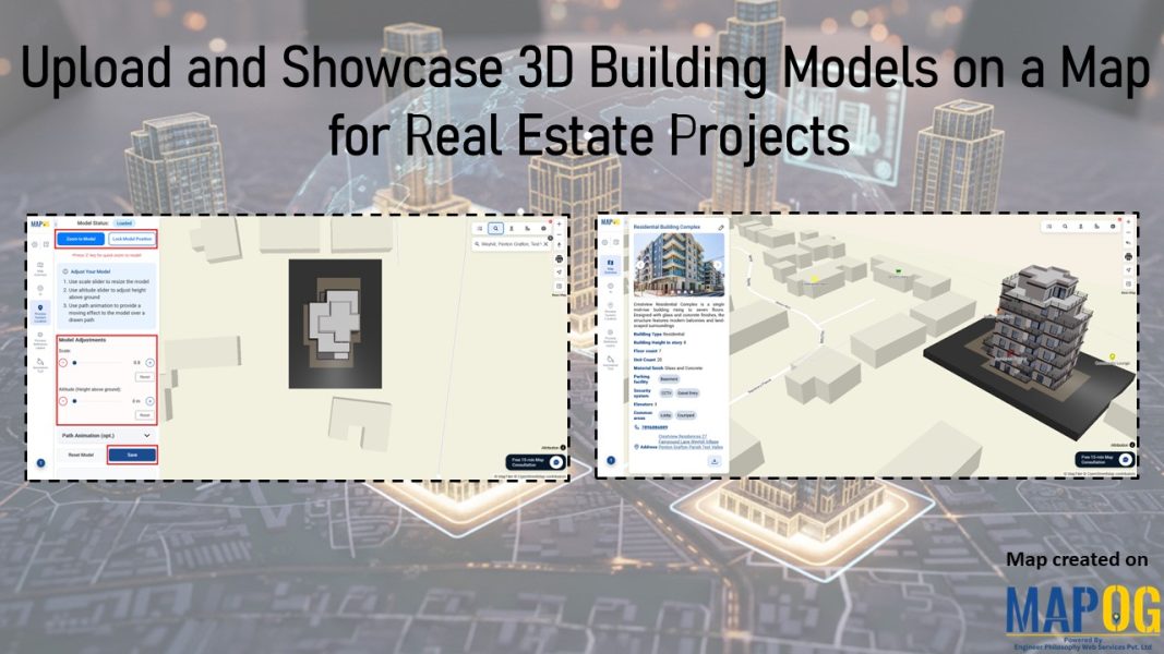
Showcasing 3D building model placed on a map with editing tools and final project view for a real estate site.

Upload and Showcase 3D Building Models on a Map for Real Estate Projects

In real estate, models are prepared, both digital and handmade, but they often fail to serve their purpose. Digital 3D models stay locked inside design software, inaccessible to clients. Handmade scale models look impressive but are fragile, costly, and limited to showrooms.  Consequently, neither connects to maps or shows how a property relates to schools, … Read more
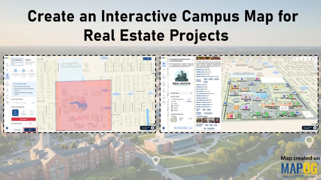
Shows features like geo-referencing layout image and adding attribute details for creating an interactive campus map for real estate projects.

Create an Interactive Campus Map for Real Estate Projects

Modern real estate developments such as campuses, townships, and estates involve many buildings and amenities. However, they are still shown through static layouts or spreadsheets, which fragment information and hinder navigation. Therefore, MAPOG resolves these challenges by enabling an interactive campus map for real estate projects that combines geo-referenced layouts, structured attributes, indicators, and filters. … Read more

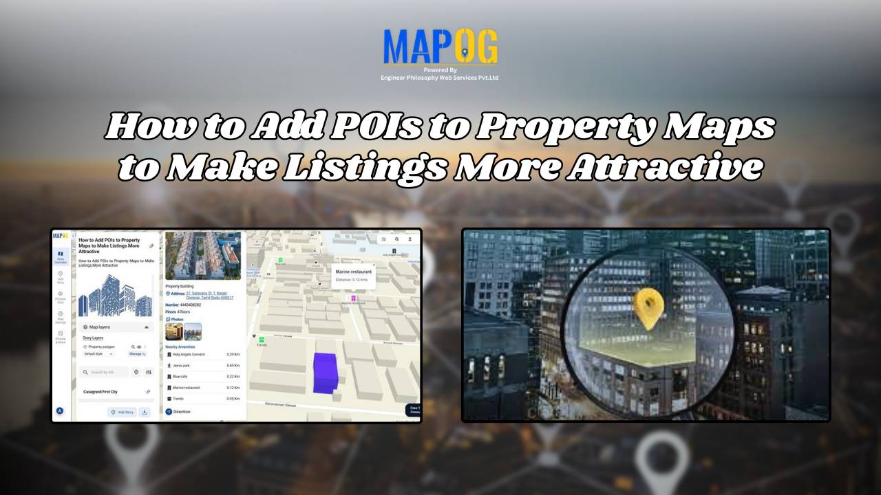
How to Add POIs to Property Maps to Make Listings More Attractive

In today’s competitive real estate market, presentation is everything. Buyers and investors don’t just want to see where a property is—they want to understand what surrounds it. Adding Points of Interest (POIs) such as schools, restaurants, parks, hospitals, and transit hubs transforms simple property maps into a powerful storytelling tool. It helps viewers visualize lifestyle, … Read more