Home Map Analysis Route Compass Download GIS Data Mobile Data Collection Field Sales & Service Territory Design Blog Contact Sign up
Tag

MAPOG

353 articles in this collection

Wildlife Corridor Planning: Using GIS Cross Intersection Analysis for Safe Migration
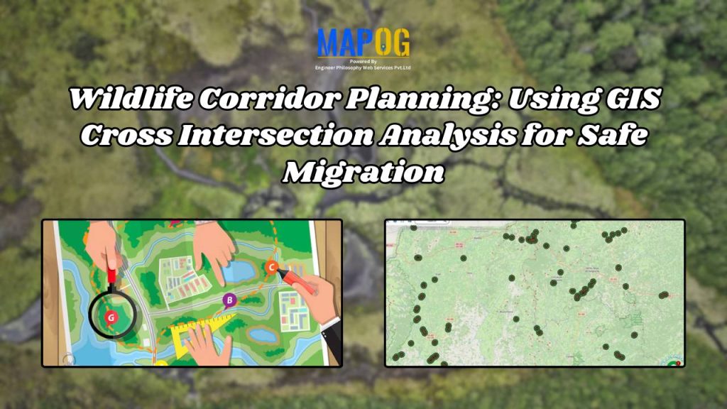
Wildlife Corridor Planning: Using GIS Cross Intersection Analysis for Safe Migration

How to Use GIS Grid Tools for Mapping Healthcare Services and Improving Access
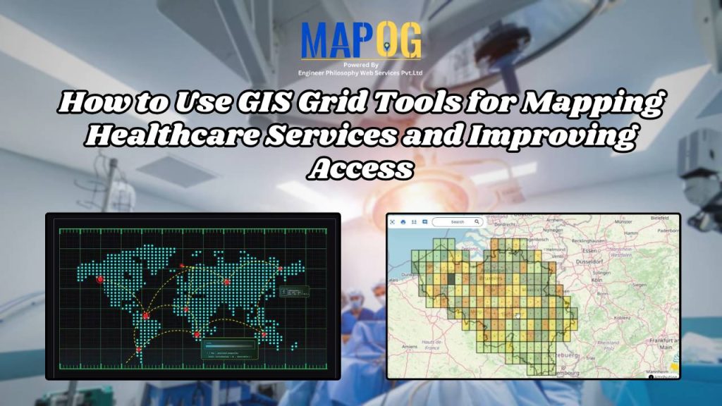
How to Use GIS Grid Tools for Mapping Healthcare Services and Improving Access

County-Wise Income Analysis: Thematic Mapping for Better Insights & Decision-Making
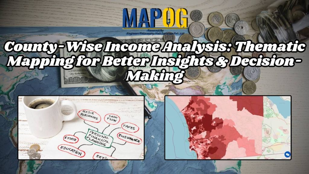
County-Wise Income Analysis: Thematic Mapping for Better Insights & Decision-Making

The Travel Map: Effortless Route Planning & Navigation with GIS | Best Travel Tech
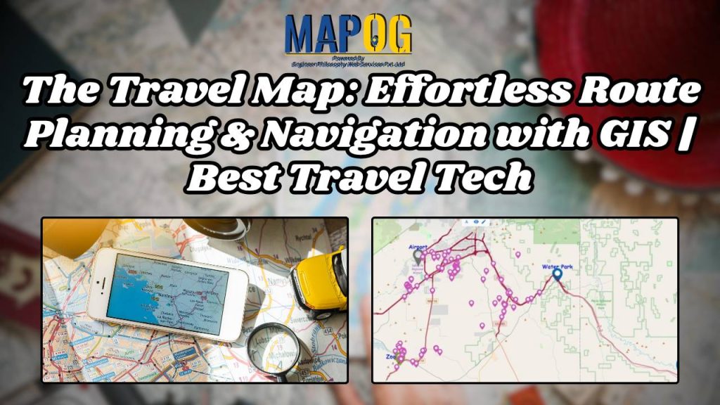
The Travel Map: Effortless Route Planning & Navigation with GIS | Best Travel Tech

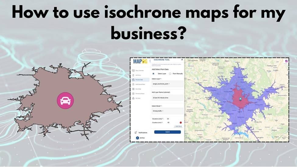
How to Use Isochrone Maps for Business Growth & Location Planning
How to Use Isochrone Maps for Business Growth & Location Planning

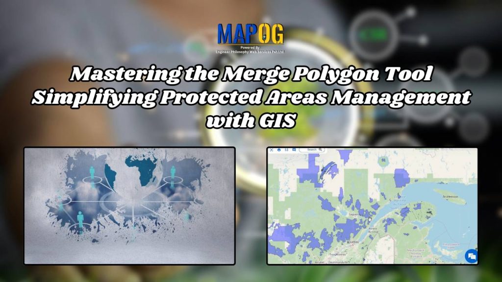
Mastering the Merge Polygon Tool: Simplifying Protected Areas Management with GIS
Mastering the Merge Polygon Tool: Simplifying Protected Areas Management with GIS

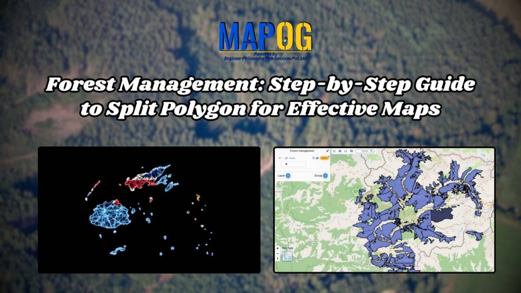
Forest Management: Step-by-Step Guide to Split Polygon for Effective Maps
Forest Management: Step-by-Step Guide to Split Polygon for Effective Maps

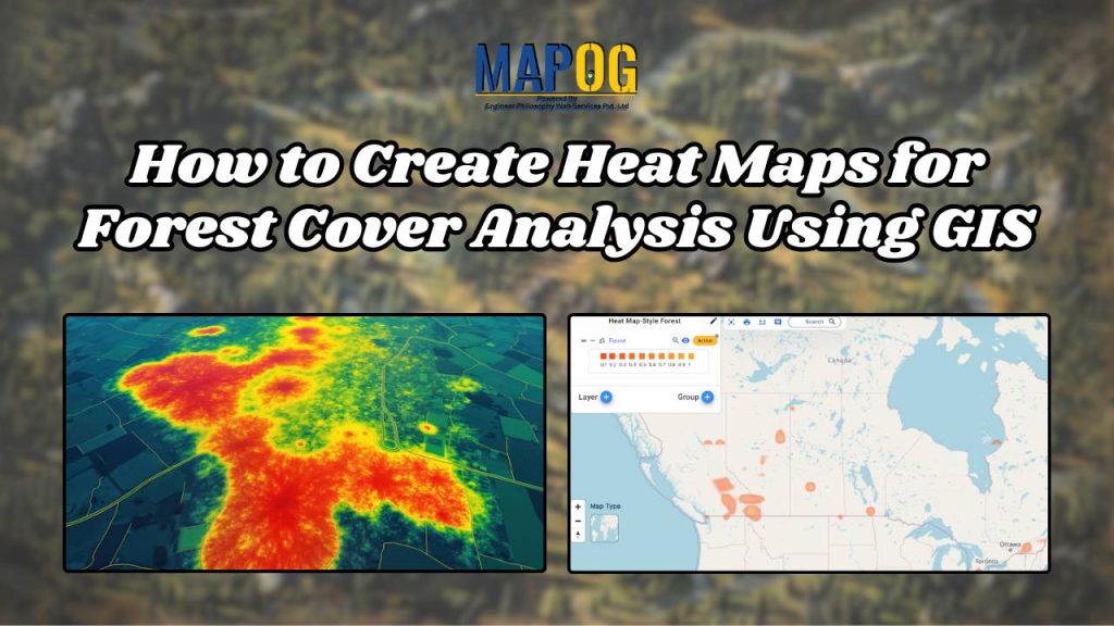
How to Create Heat Maps for Forest Cover Analysis Using GIS

How to Create Heat Maps for Forest Cover Analysis Using GIS

1…333435…45
Page 34 of 45
← Back to blog