Home Map Analysis Route Compass Download GIS Data Mobile Data Collection Field Sales & Service Territory Design Blog Contact Sign up
Tag

MAPOG

353 articles in this collection

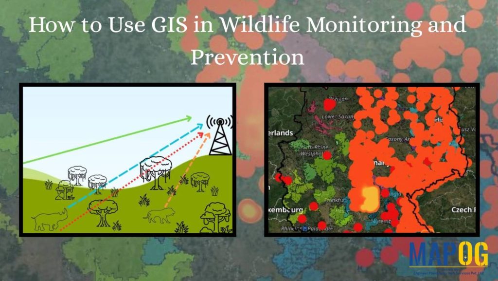
How to use GIS for Wildlife monitoring and prevention
How to use GIS for Wildlife monitoring and prevention

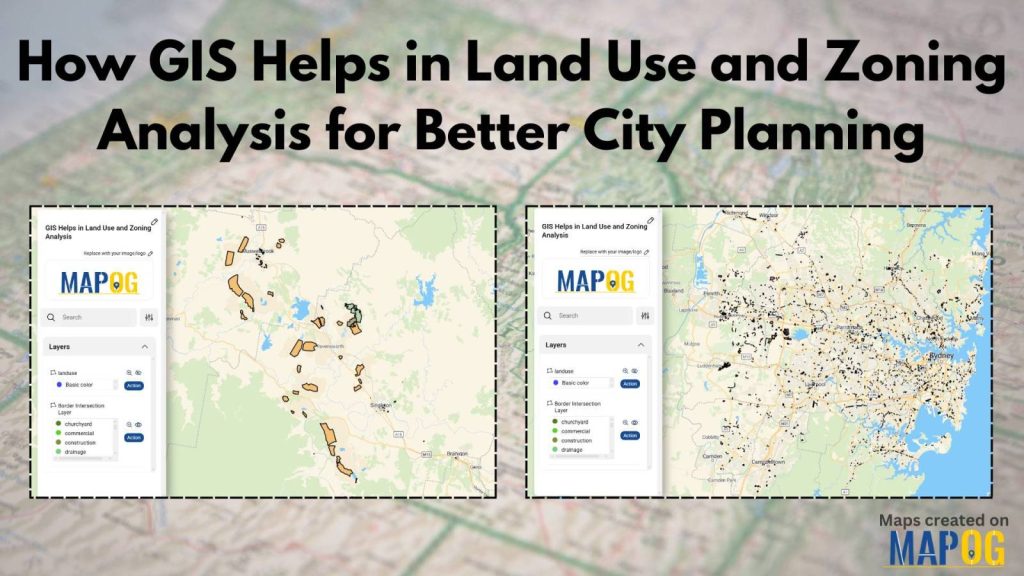
GIS in Land use and Zoning analysis for better city planning
GIS in Land use and Zoning analysis for better city planning

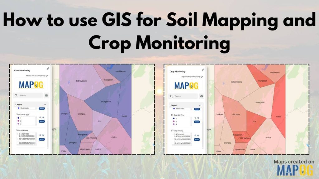
How to use GIS for Soil Mapping and Crop Monitoring
How to use GIS for Soil Mapping and Crop Monitoring

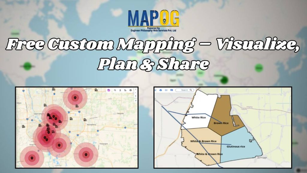
Free Custom Mapping – Visualise, Plan & Share
Free Custom Mapping – Visualise, Plan & Share

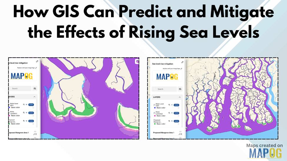
How GIS Can Predict and Mitigate the Effects of Rising Sea Levels
How GIS Can Predict and Mitigate the Effects of Rising Sea Levels

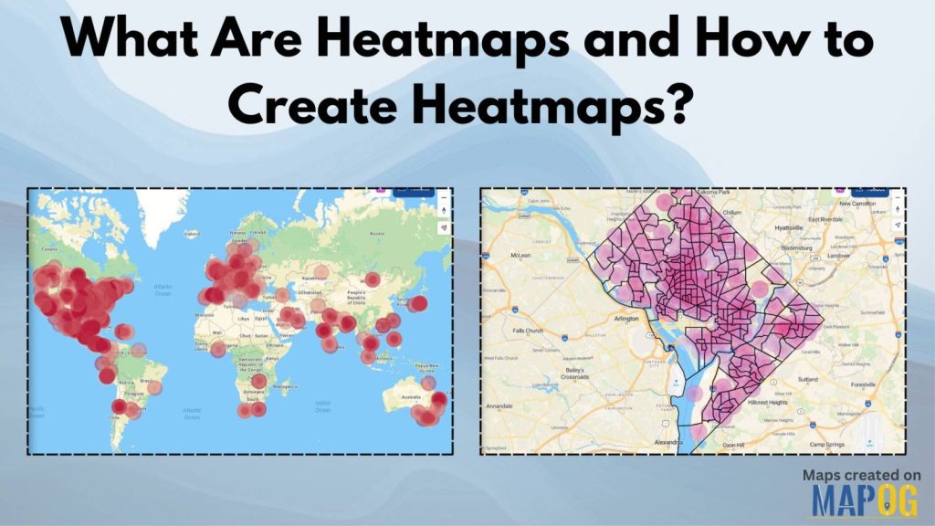
What Are Heatmaps and How to Create Heatmaps?
What Are Heatmaps and How to Create Heatmaps?

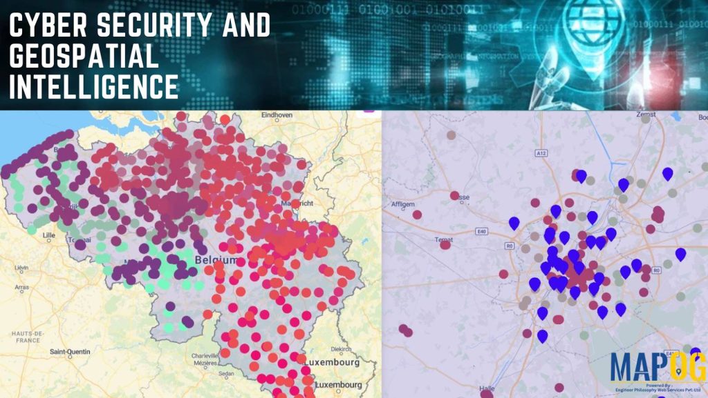
The Role of GIS in Cyber Security and Geospatial Intelligence 
The Role of GIS in Cyber Security and Geospatial Intelligence 

How to Create Grid Maps for Analysis?

How to Create Grid Maps for Analysis?

1…303132…45
Page 31 of 45
← Back to blog