Home Map Analysis Route Compass Download GIS Data Mobile Data Collection Field Sales & Service Territory Design Blog Contact Sign up
Tag

#mapog

122 articles in this collection

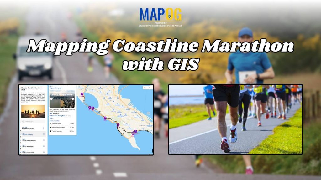
How to Use GIS for Coastline Marathon Route Mapping and Logistics
How to Use GIS for Coastline Marathon Route Mapping and Logistics

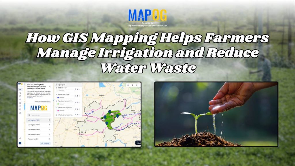
How GIS Mapping Helps Farmers Manage Irrigation and Reduce Water Waste
How GIS Mapping Helps Farmers Manage Irrigation and Reduce Water Waste

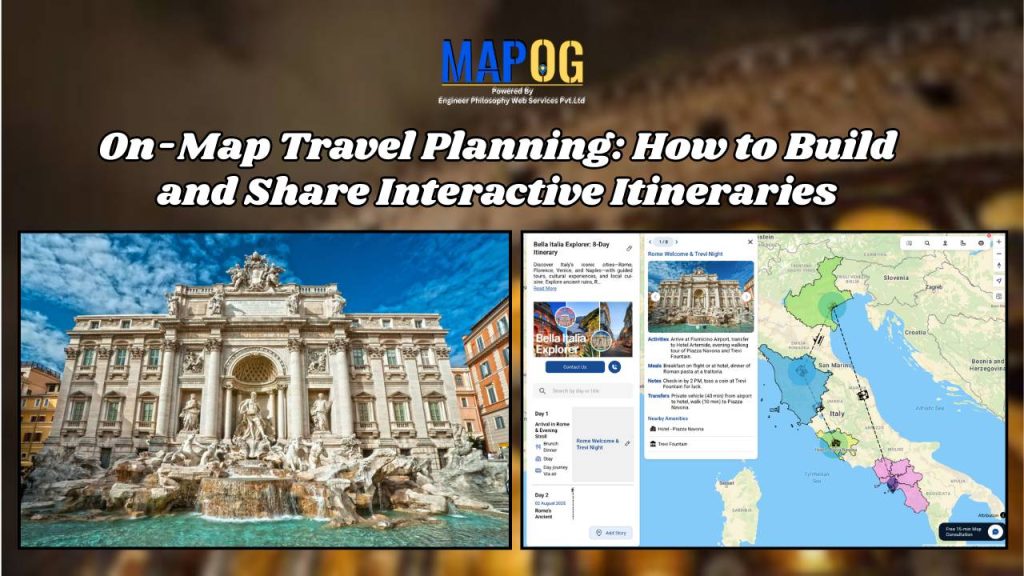
On-Map Travel Planning: How to Build and Share Interactive Itineraries Transform Client Experiences
On-Map Travel Planning: How to Build and Share Interactive Itineraries Transform Client Experiences

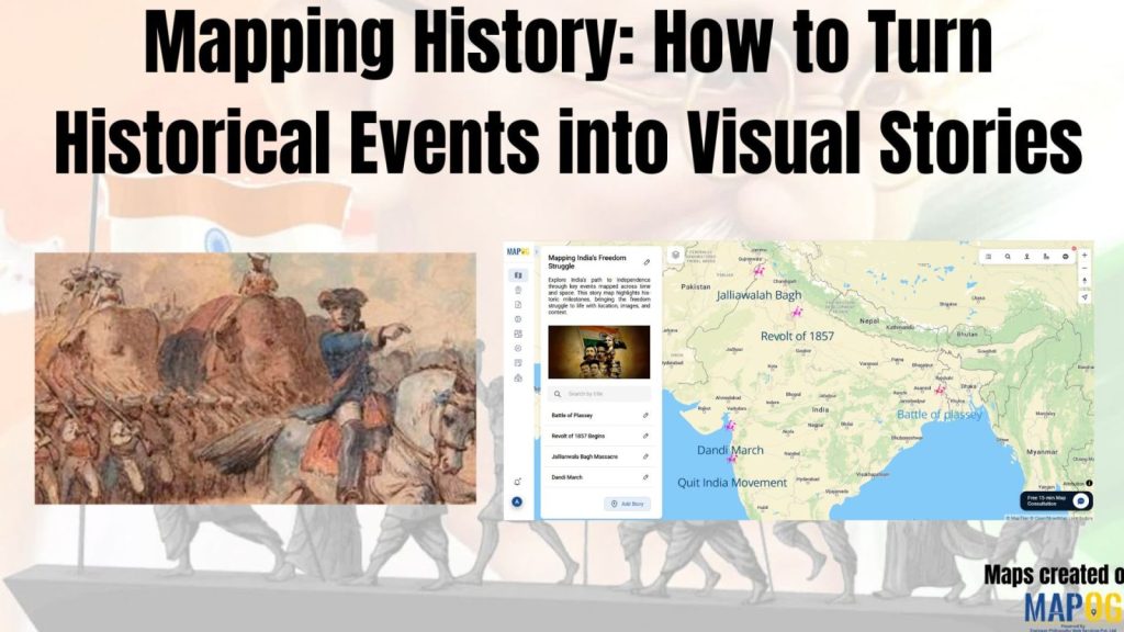
Mapping History with GIS: Turn Historical Events into Interactive Stories
Mapping History with GIS: Turn Historical Events into Interactive Stories

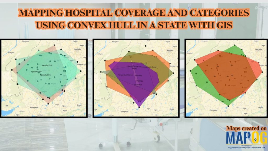
Mapping Rural Hospital Coverage Using GIS and Convex Hull
Mapping Rural Hospital Coverage Using GIS and Convex Hull

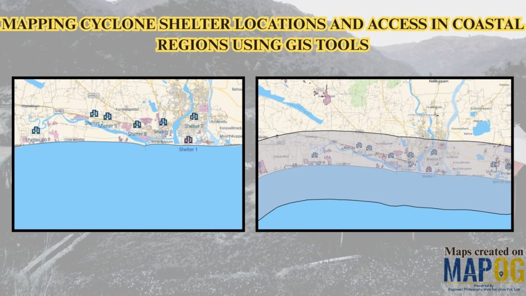
Mapping Cyclone Shelter Locations for Coastal Villages Using GIS
Mapping Cyclone Shelter Locations for Coastal Villages Using GIS

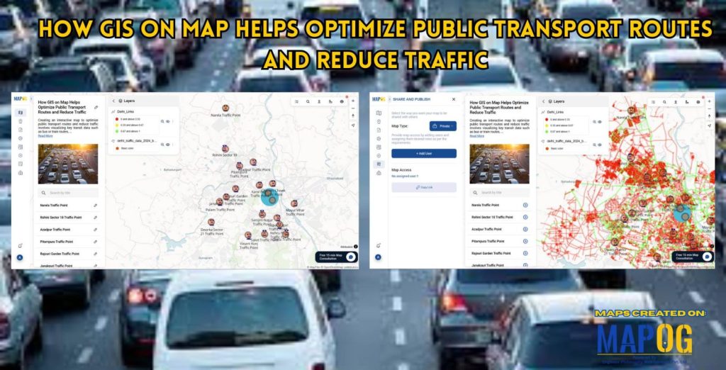
How GIS on Map Helps Optimize Public Transport Routes and Reduce Traffic
How GIS on Map Helps Optimize Public Transport Routes and Reduce Traffic

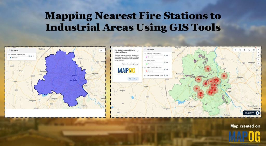
Create a map Fire Stations to Industrial Areas: Mapping Using GIS Tools

Create a map Fire Stations to Industrial Areas: Mapping Using GIS Tools

1…13141516
Page 14 of 16
← Back to blog