#GeocodingMadeEasy

Map Your GoPro Footage and GPS Photos Automatically

GeoTag Media Explained: How to Map Your GoPro Footage and GPS Photos

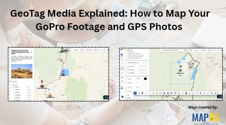
Location-based media adds a new layer of context to maps. Instead of simply marking places, you can attach real photos and videos to show what exists at each location. With MAPOG, users can upload Geotag Media and GoPro footage, allowing media files to appear automatically at their recorded locations. Consequently, maps become more interactive, informative, … Read more

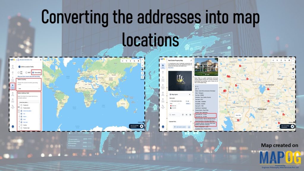
Interface showing geocoding options for converting the addresses into map locations, with property details and mapped points displayed.

Converting the addresses into map locations

In the real estate industry, managing multiple site addresses across districts or states may seem straightforward at first. However, developers often face spelling variations, incomplete details, duplicate entries, and repeated street names. As a result, towns with identical names or missing information leave locations ambiguous. Without proper coordinates, sites risk being misplaced or duplicated. While … Read more