Interactive Maps for Retail
Enhance in-store experience with interactive retail maps. Give shoppers a smarter way to navigate your store, discover products, and engage with your brand.
- Interactive Store Locator
- Visual Store Identification
- Rich Media Integration and Store Information
Popular Use Cases for Retail Professionals
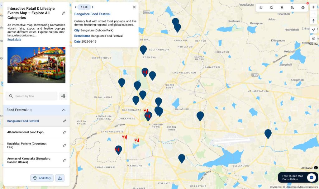
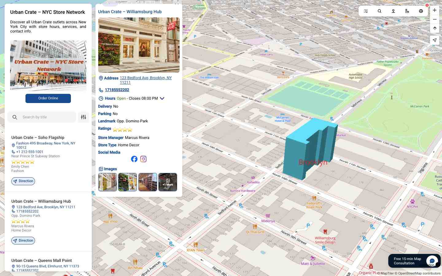
Retail Chain Locator
Display all retail outlets across cities or countries on one map. Customers can quickly find the nearest store, check opening hours, and get instant directions seamlessly
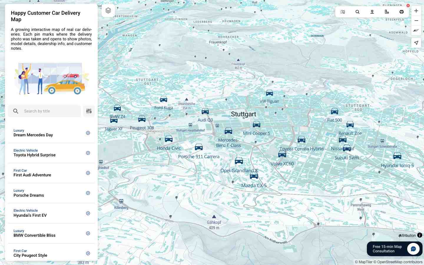
Check live exampleSingle Store Interactive Experience
Highlight every detail of one store—products, offers, navigation, photos, videos, and amenities. You can also showcase real customer journeys to build trust and engagement.
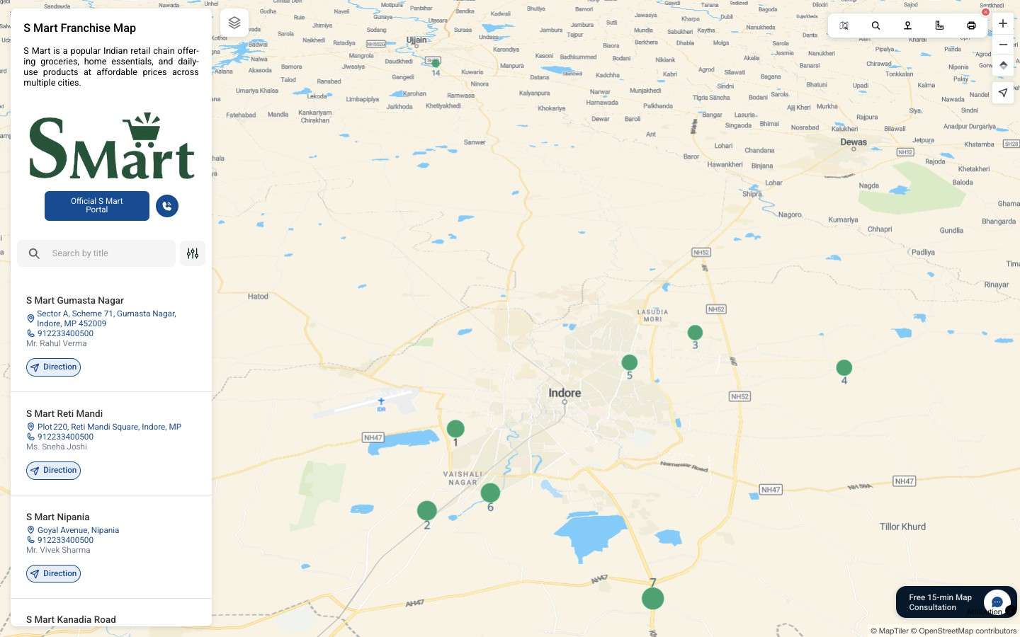
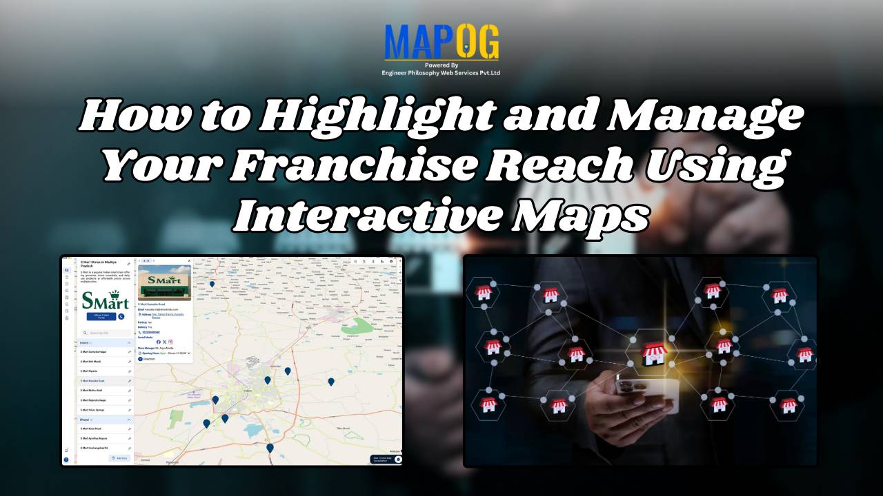
Check live exampleFranchise Discovery Map
Let users explore franchise or partner locations across regions. Present expansion, availability, and partnerships clearly to strengthen reach, credibility, and decision confidence.
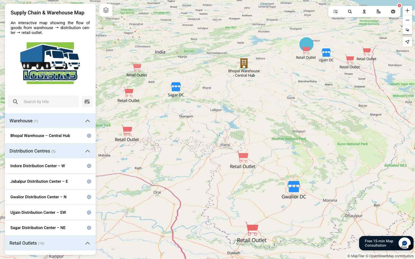
Check live exampleWarehouse to Retail Journey
Visualize the full retail supply chain—from warehouses and DCs to stores—on one map. Highlight transparency, delivery routes, and operational excellence across your network.
Check live exampleWho uses MAPOG in Retail?
MAPOG is an interactive mapping tool designed for the retail industry — helping businesses enhance customer experience, optimise store operations, and plan smarter retail strategies.
- Retail Chains & Supermarkets – Showcase store locations, highlight offers, and guide customers through product zones.
- Shopping Malls – Provide digital floor maps, event highlights, and easy navigation for visitors.
- E-commerce Brands – Visualise delivery zones, supply chain routes, and local store pick-up points.
- Franchise Owners – Display franchise networks, expansion plans, and potential investment areas.
- Retail Planners & Consultants – Analyse footfall, catchment areas, and store performance using spatial data.
From in-store navigation to market expansion, MAPOG empowers the entire retail journey.
How to Create Interactive Maps for Retail Stores?
Store Customization
Highlight different store types, locations, and services. Customize map icons and can add your own branding.
Enrich with Store Info
Add store hours, promotions, contact info, and amenities. Include images, videos, and other key details for each location.
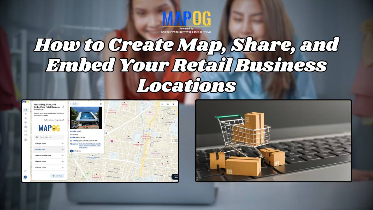
Share, Embed, or Keep It Private
Share interactive maps with customers, embed on your website, or control access for internal teams and franchise partners.
Featured Retail Blogs
Explore MoreRead our latest Retail articles, tips and product updates.
Frequently Asked Questions
Is MAPOG suitable for small retailers and large chains?
Absolutely. Whether you’re a single store or a nationwide brand, MAPOG scales effortlessly to meet your needs.
Can we embed interactive maps into our website or app?
Yes. You can easily embed MAPOG maps on your website, mobile app, or even share them on social media or share directly via link.
Do you support white-label map styling to reflect our brand?
Yes. You can fully customise by adding your brand logo, name, and description to show your brand identity.
Can we restrict access to internal team or selected users only?
Yes. You can create private maps or control who can view or edit the map with custom permissions.
How do we update our map after it’s live?
You can update maps so easily by the tool itself.
Can I upload my store data in bulk?
Yes. You can upload or update locations using a CSV file for bulk data management.
Is MAPOG mobile-friendly?
Yes. All MAPOG maps are responsive and optimised for both desktop and mobile devices.
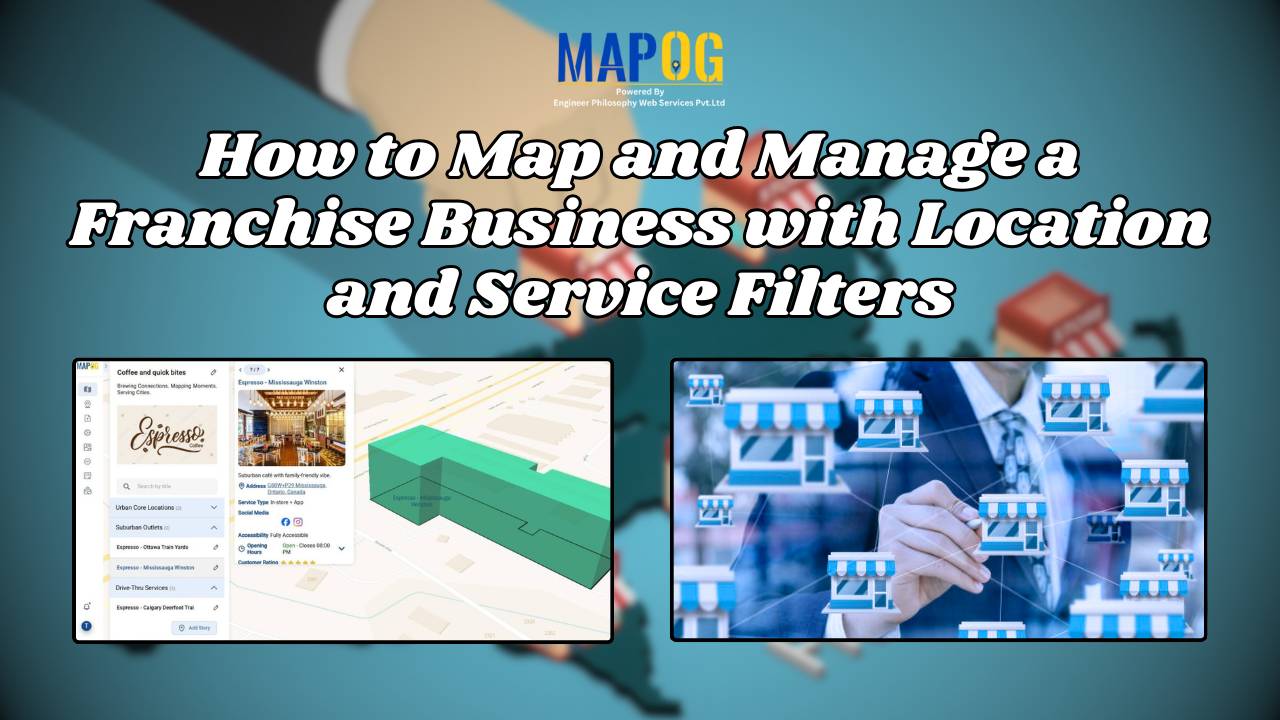
Is it possible to categorise stores or filter them by type?
Yes. MAPOG allows users to filter stores by categories such as fashion, food, electronics, etc., making navigation easier and faster.
Can we show multiple locations or branches on a single map?
Definitely. You can display as many stores as needed—across cities, regions, or countries—on a unified map experience.
Do I need coding knowledge to use MAPOG?
Not at all. MAPOG is designed to be user-friendly. You can build, edit, and customise maps simply with the tool itself — no coding required.