Home Map Analysis Route Compass Download GIS Data Mobile Data Collection Field Sales & Service Territory Design Blog Contact Sign up
Category

Smart Mapping

175 articles in this collection

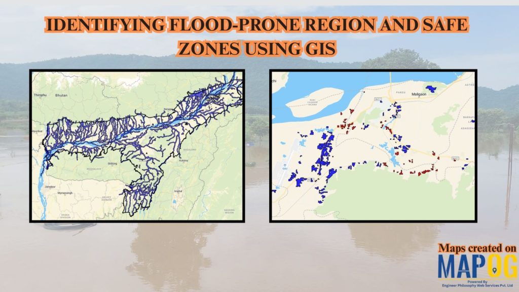
How to Use GIS to Identify Flood-Prone Areas and Map Safe Zones using buffer analysi

How to Use GIS to Identify Flood-Prone Areas and Map Safe Zones using buffer analysi

How to Create Interactive Real Estate Portfolio Maps: Organize, Visualize, and Showcase Projects
How to Create Interactive Real Estate Portfolio Maps: Organize, Visualize, and Showcase Projects

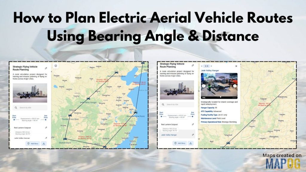
How to Plan Efficient Electric Aerial Vehicle Routes Using Bearing Angle and Distance
How to Plan Efficient Electric Aerial Vehicle Routes Using Bearing Angle and Distance

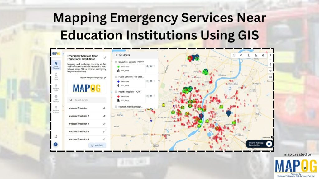
How to Map Emergency Services Near Educational Institutions Using GIS Tools
How to Map Emergency Services Near Educational Institutions Using GIS Tools

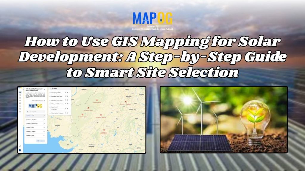
How to Use GIS Mapping for Solar Development: A Step-by-Step Guide to Smart Site Selection
How to Use GIS Mapping for Solar Development: A Step-by-Step Guide to Smart Site Selection

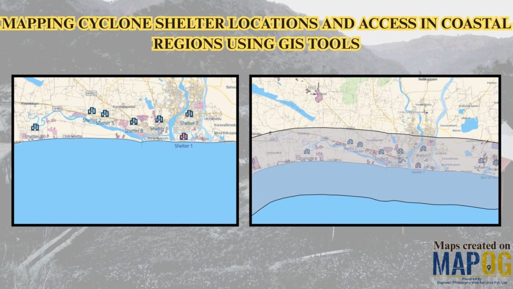
Mapping Cyclone Shelter Locations for Coastal Villages Using GIS
Mapping Cyclone Shelter Locations for Coastal Villages Using GIS

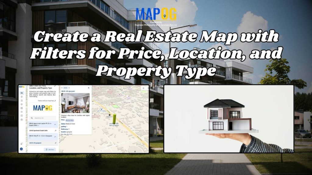
Create a Real Estate Map with Filters for Price, Location, and Property Type
Create a Real Estate Map with Filters for Price, Location, and Property Type

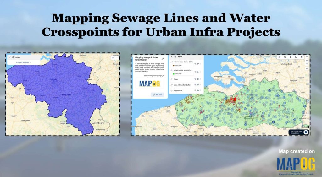
Create Map of Sewage Lines and Water Cross-points for Urban Infra Projects

Create Map of Sewage Lines and Water Cross-points for Urban Infra Projects

1…181920…22
Page 19 of 22
← Back to blog