Home Map Analysis Route Compass Download GIS Data Mobile Data Collection Field Sales & Service Territory Design Blog Contact Sign up
Category

GISdata

167 articles in this collection

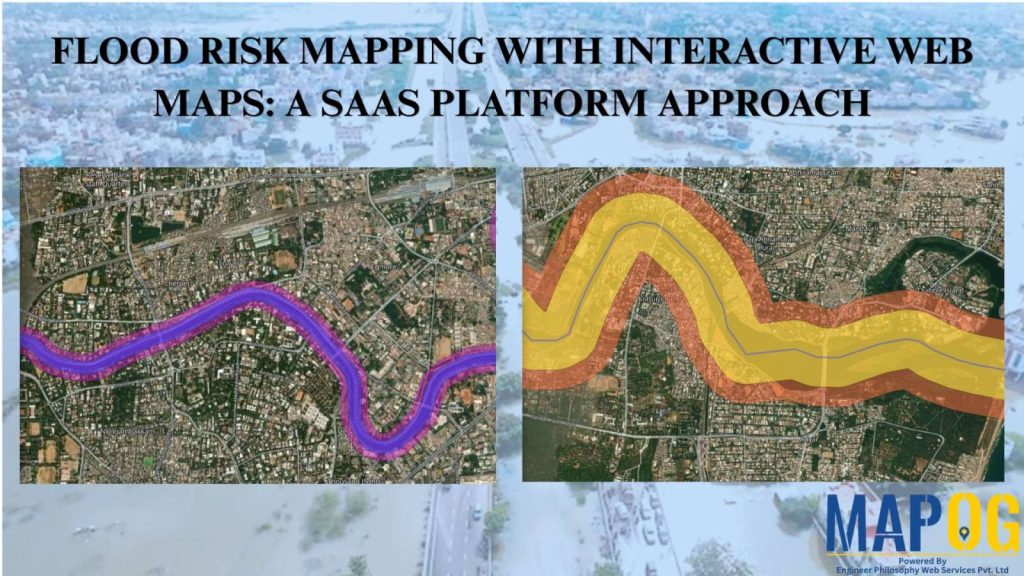
Flood Risk Mapping with Interactive Web Maps: SaaS Approach
Flood Risk Mapping with Interactive Web Maps: SaaS Approach

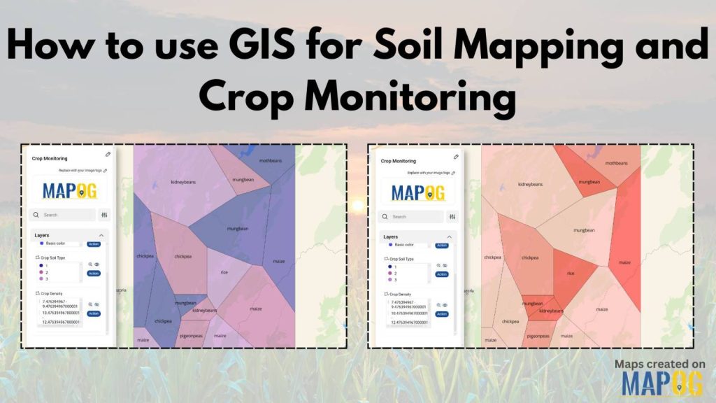
How to use GIS for Soil Mapping and Crop Monitoring
How to use GIS for Soil Mapping and Crop Monitoring

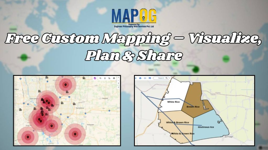
Free Custom Mapping – Visualise, Plan & Share
Free Custom Mapping – Visualise, Plan & Share

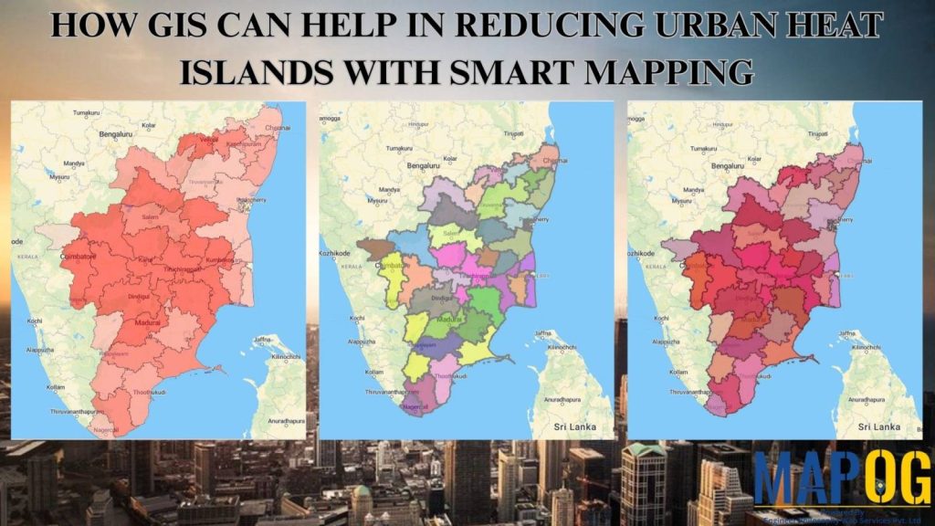
How GIS and Smart Mapping Reduce Urban Heat Islands
How GIS and Smart Mapping Reduce Urban Heat Islands

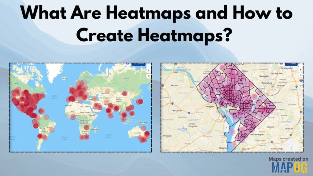
What Are Heatmaps and How to Create Heatmaps?
What Are Heatmaps and How to Create Heatmaps?

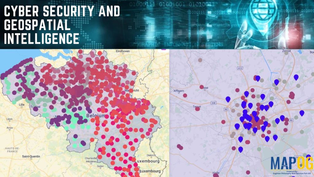
The Role of GIS in Cyber Security and Geospatial Intelligence 
The Role of GIS in Cyber Security and Geospatial Intelligence 

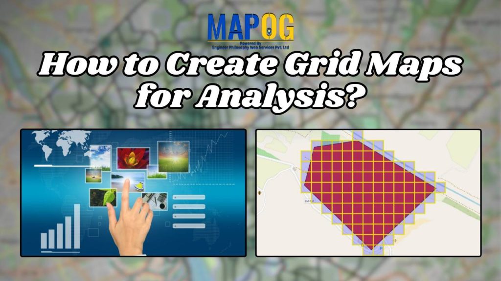
How to Create Grid Maps for Analysis?
How to Create Grid Maps for Analysis?

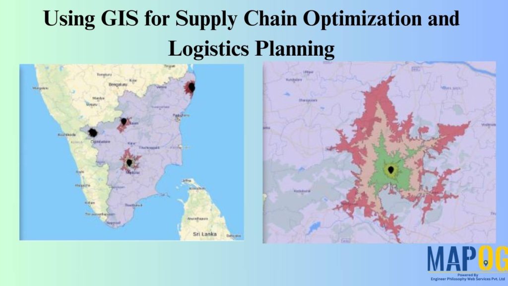
Optimizing Warehouse Location Selection with GIS for Supply Chain Efficiency

Optimizing Warehouse Location Selection with GIS for Supply Chain Efficiency

1…192021
Page 20 of 21
← Back to blog