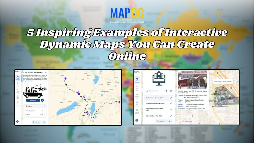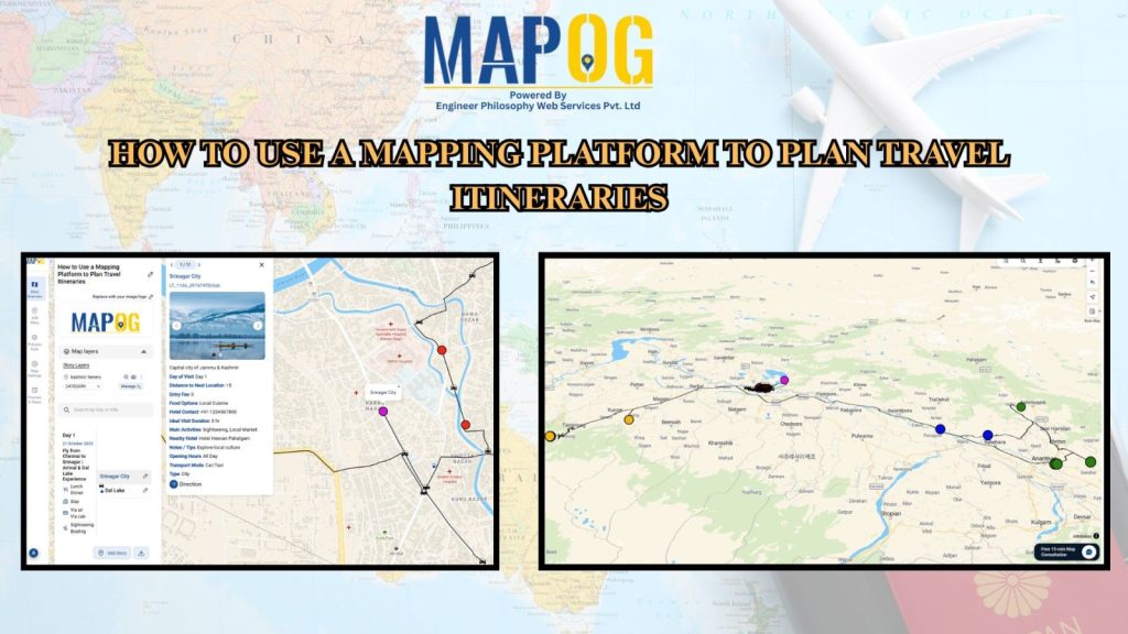
How to Use a Mapping Platform to Plan Travel Itineraries
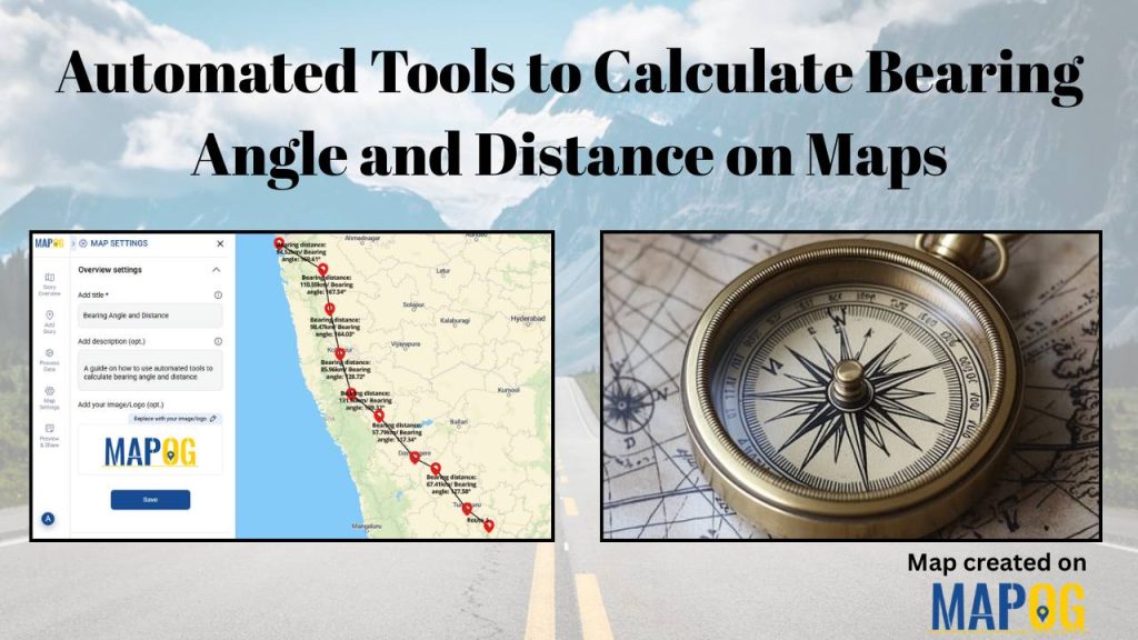
Automated Tools to Calculate Bearing Angle and Distance on Maps
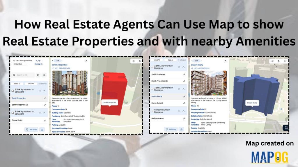
How Real Estate Agents Can Use Map to Show Real Estate Properties with nearby Amenities?
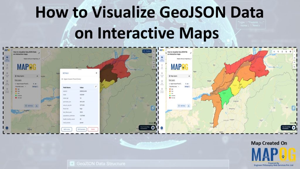
How To Visualize GeoJSON Data On Interactive Maps
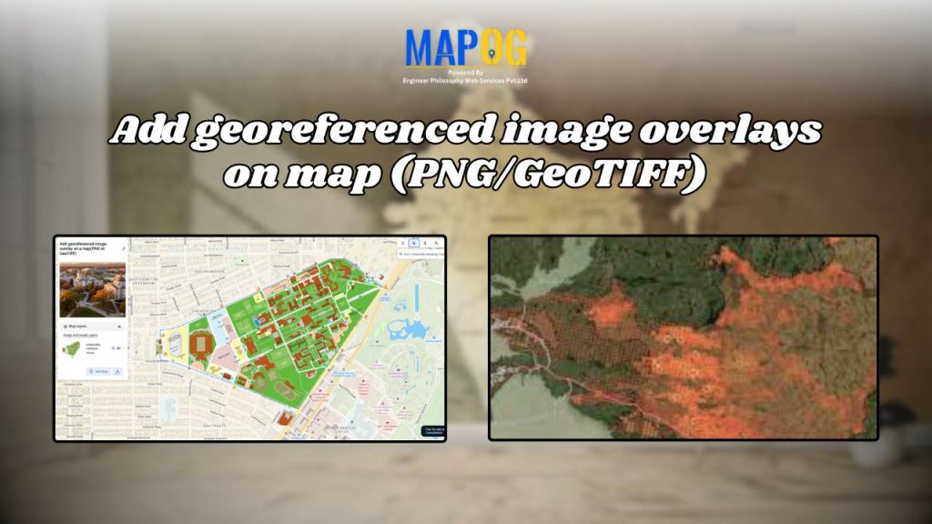
Add Georeferenced Image Overlays on Map (PNG/GeoTIFF)
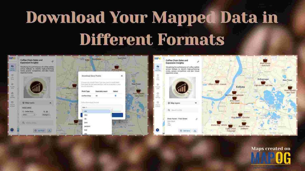
Download Your Mapped Data in Different Formats
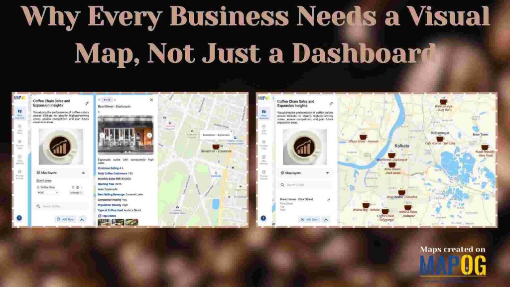
Why Every Business Needs a Visual Map, Not Just a Dashboard