Home Map Analysis Route Compass Download GIS Data Mobile Data Collection Field Sales & Service Territory Design Blog Contact Sign up
Category

City Plannig

116 articles in this collection

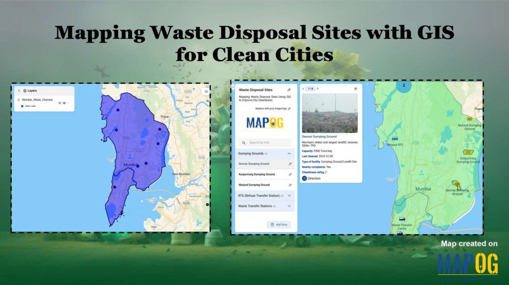
Mapping Waste Disposal Sites with GIS for Clean Cities
Mapping Waste Disposal Sites with GIS for Clean Cities

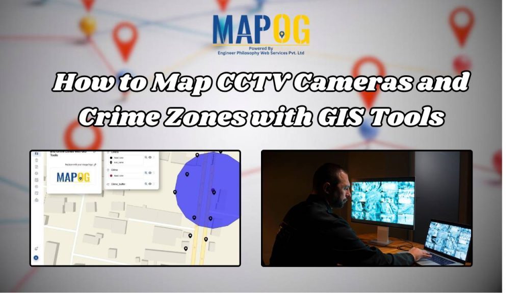
How to Map CCTV Cameras and Crime Zones with GIS Tools
How to Map CCTV Cameras and Crime Zones with GIS Tools

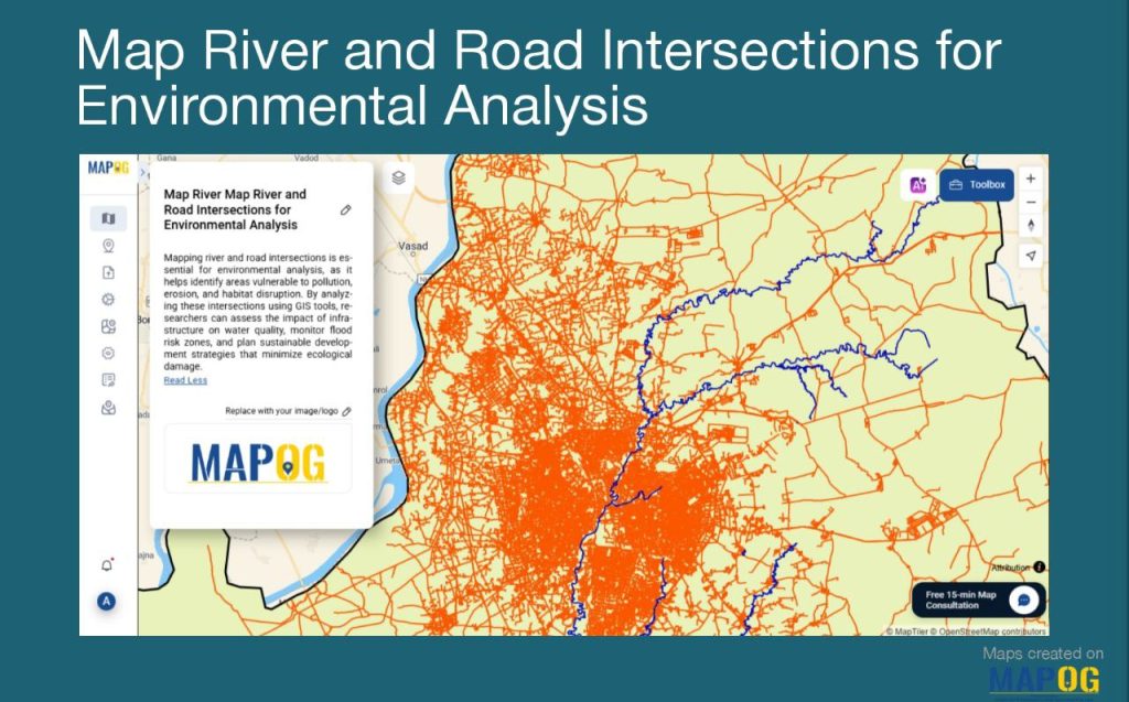
Create a Map of River and Road Intersections for Environmental Analysis
Create a Map of River and Road Intersections for Environmental Analysis

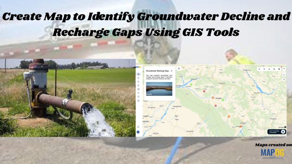
Create Map to Identify Groundwater Decline and Recharge Gaps Using GIS Tools
Create Map to Identify Groundwater Decline and Recharge Gaps Using GIS Tools

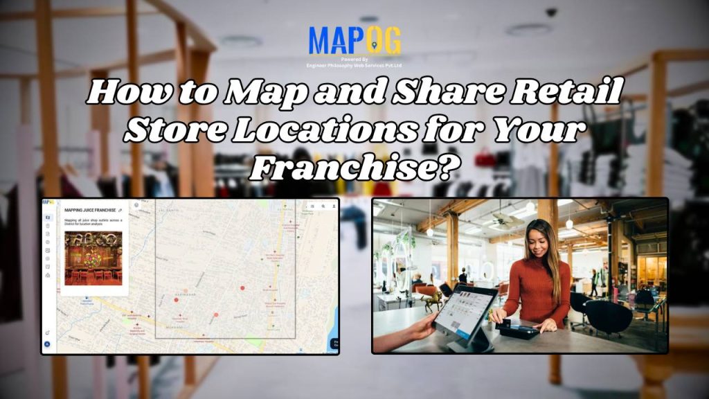
How to Map and Share Retail Store Locations for Your Franchise?
How to Map and Share Retail Store Locations for Your Franchise?

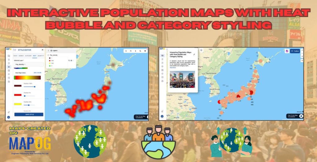
Interactive Population Map with Heat Bubble and Category Styling
Interactive Population Map with Heat Bubble and Category Styling

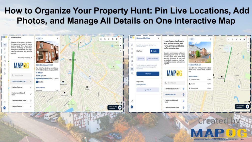
How to Organise Your Property Hunt: Pin Live Locations, Add Photos, and Manage All Details on One Interactive Map
How to Organise Your Property Hunt: Pin Live Locations, Add Photos, and Manage All Details on One Interactive Map

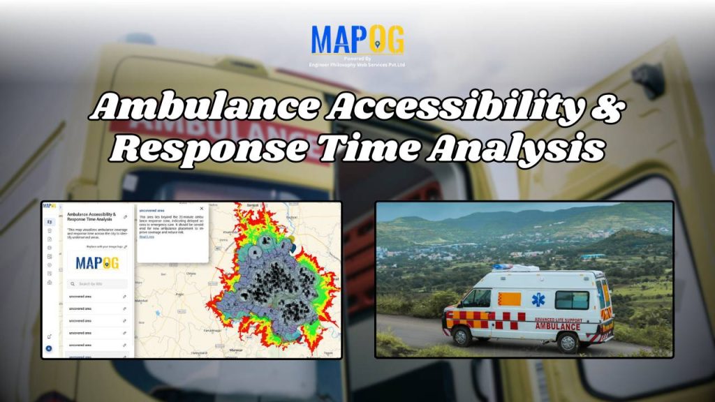
Ambulance Accessibility & Response Time Analysis

Ambulance Accessibility & Response Time Analysis

1…8910…15
Page 9 of 15
← Back to blog