Home Map Analysis Route Compass Download GIS Data Mobile Data Collection Field Sales & Service Territory Design Blog Contact Sign up
Category

Advice

86 articles in this collection

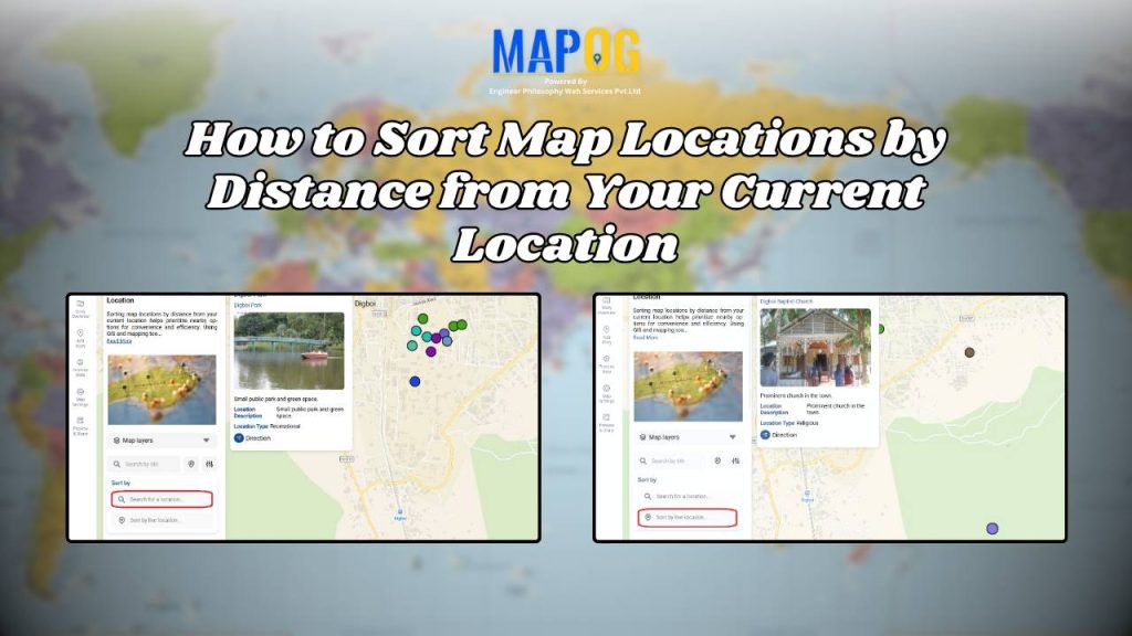
How to Sort Map Locations by Distance from Your Current Location
How to Sort Map Locations by Distance from Your Current Location

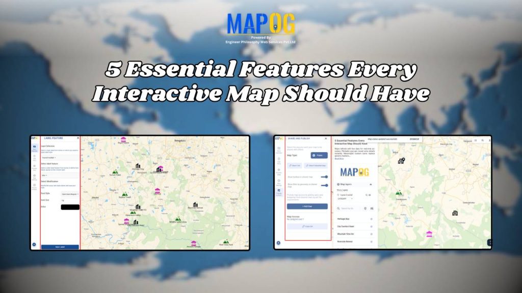
5 Essential Features Every Interactive Map Should Have
5 Essential Features Every Interactive Map Should Have

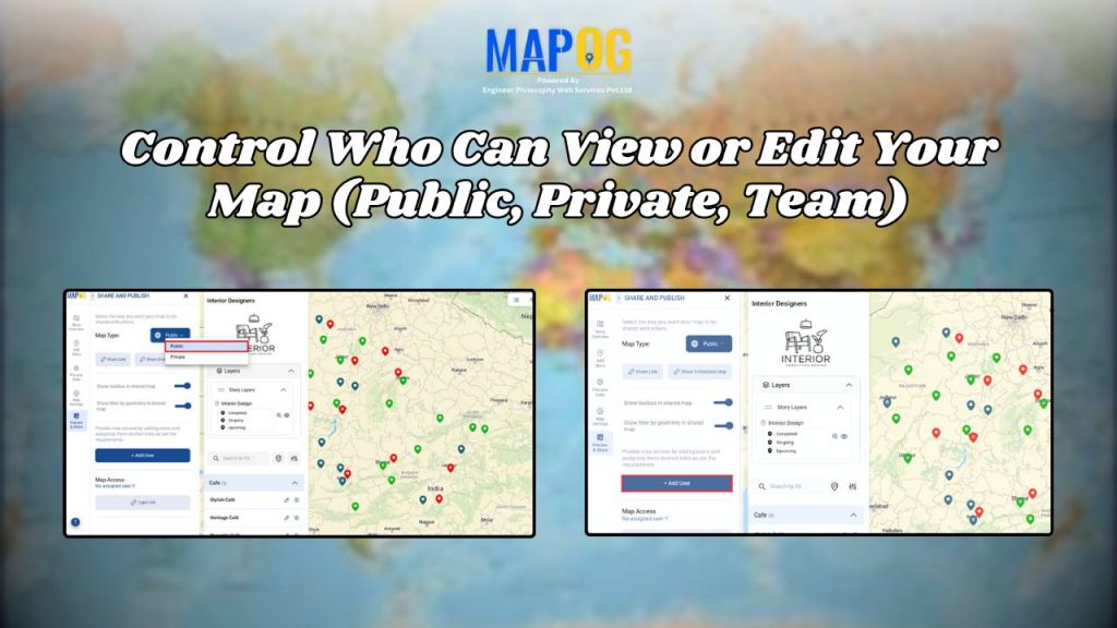
Control Who Can View or Edit Your Map (Public, Private, Team)
Control Who Can View or Edit Your Map (Public, Private, Team)

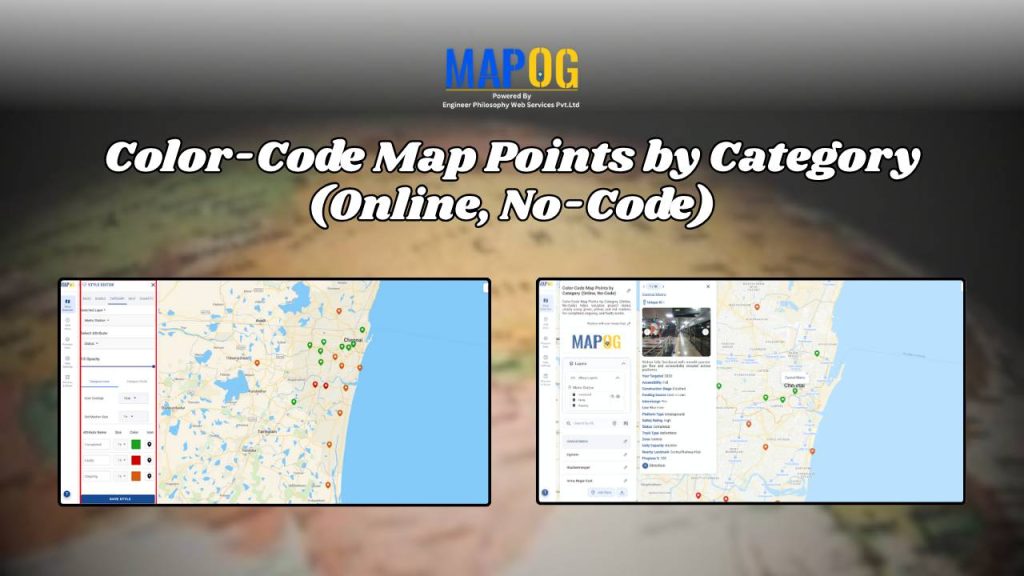
Color-Code Map Points by Category (Online, No-Code)

Color-Code Map Points by Category (Online, No-Code)

Best Way to Share Interactive Maps Online with View and Edit Access
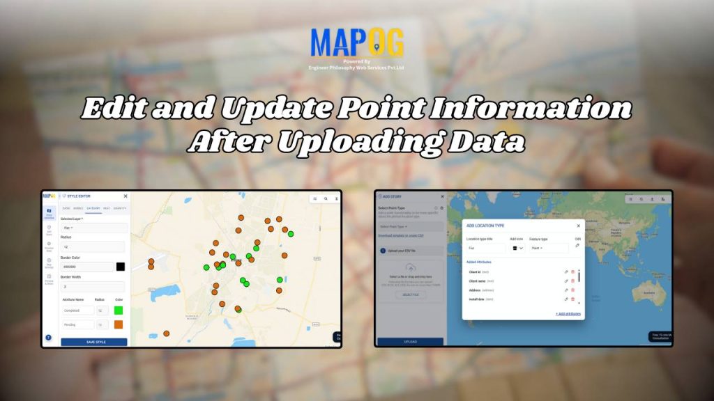
Best Way to Share Interactive Maps Online with View and Edit Access

Edit and Update Map Data for Fire Safety and Infrastructure Projects
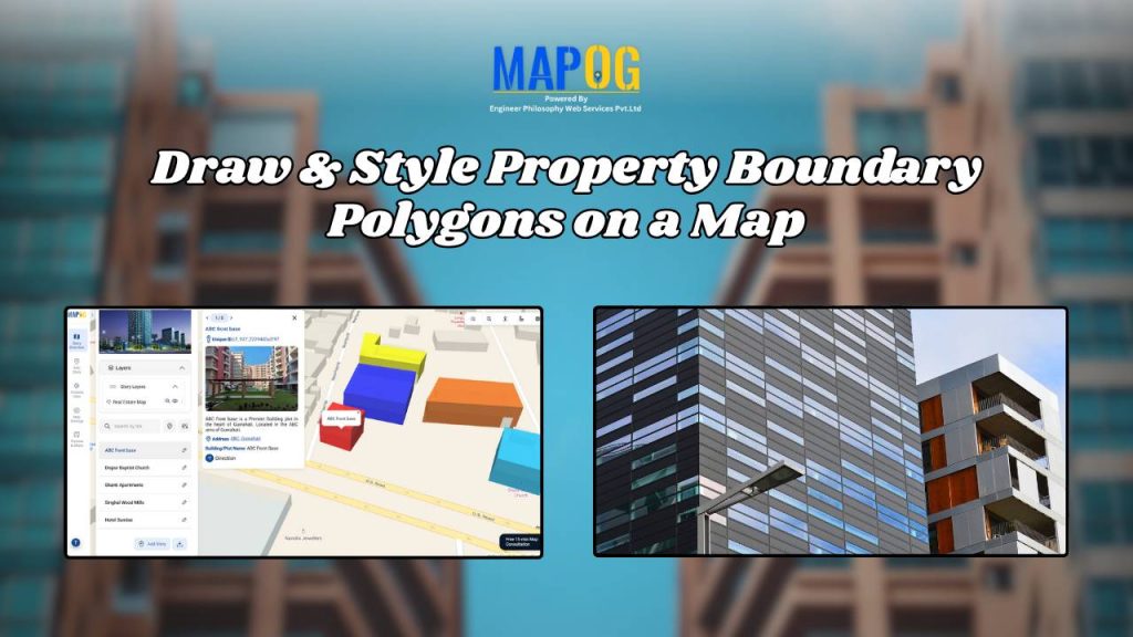
Edit and Update Map Data for Fire Safety and Infrastructure Projects

Draw & Style Property Boundary Polygons on a Map

Draw & Style Property Boundary Polygons on a Map

Fire Station Mapping: How GIS Fire Safety Maps Improve Emergency Response & Community Safety

Fire Station Mapping: How GIS Fire Safety Maps Improve Emergency Response & Community Safety

1…789…11
Page 8 of 11
← Back to blog