Interactive Maps for Healthcare & Medical
Our interactive maps help healthcare providers and organizations with:
- Analyzing healthcare accessibility in urban & rural areas
- Identifying locations for new hospitals, clinics, or health camps
- Mapping patient visits & doctor schedules for better care
- Supporting medical research with advanced data visualization
How Healthcare Providers Use Interactive Maps
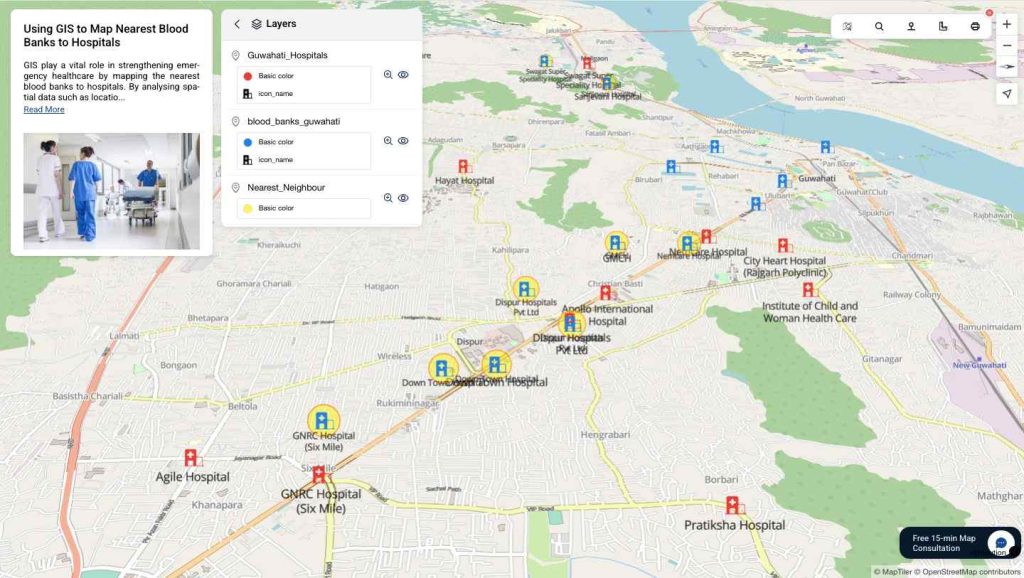
Healthcare Accessibility
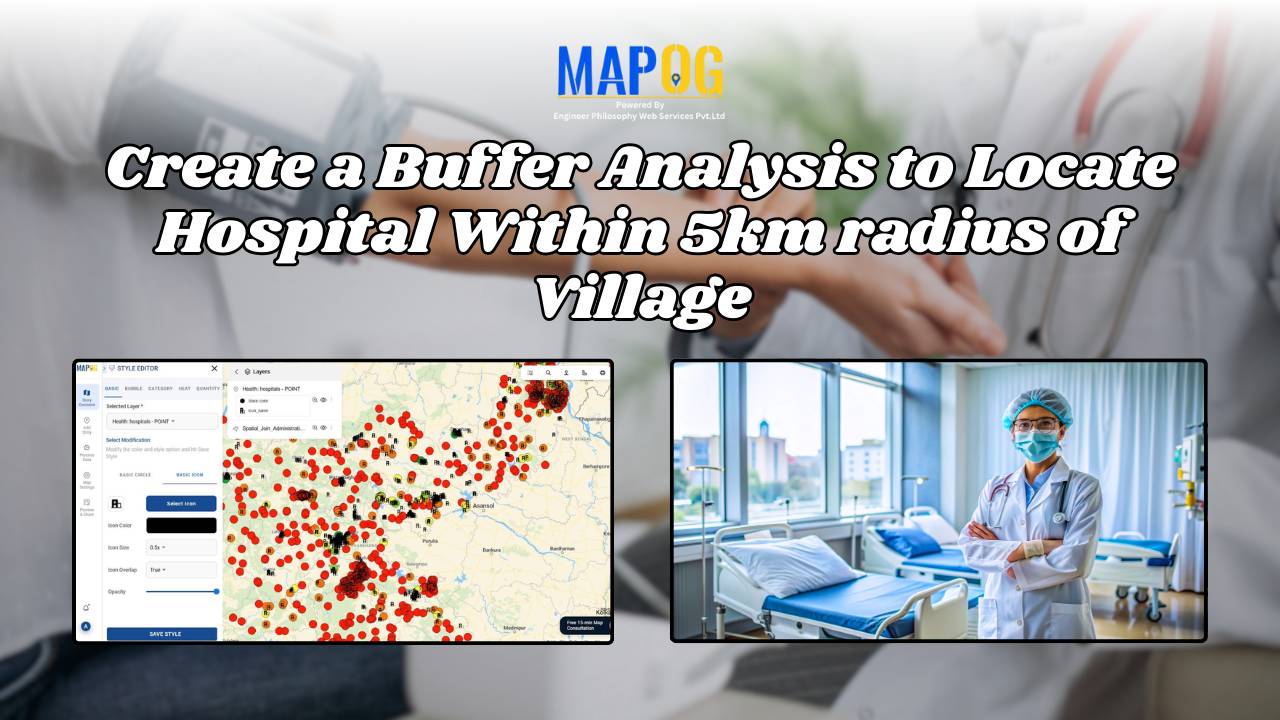
Use GIS to analyse underserved areas and decide where to build new hospitals, open clinics, or set up mobile health camps for rural and urban populations.
Doctor & Patient Mapping
Visiting doctors and therapists can map their regular patients’ details with locations, plan daily visits, and track health progress— all on a single interactive healthcare map.
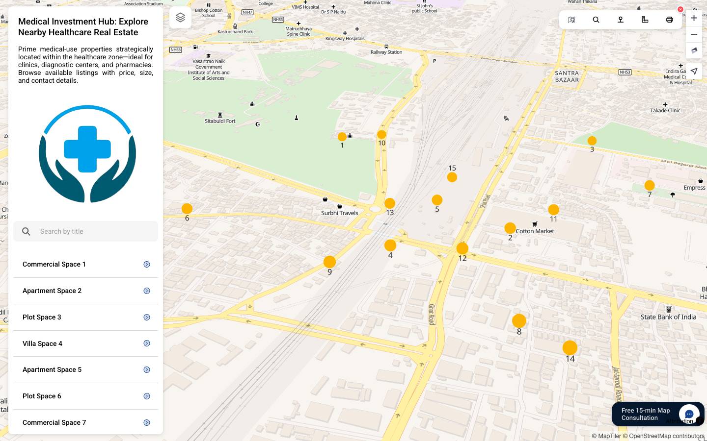
Hospital & Clinic Networks
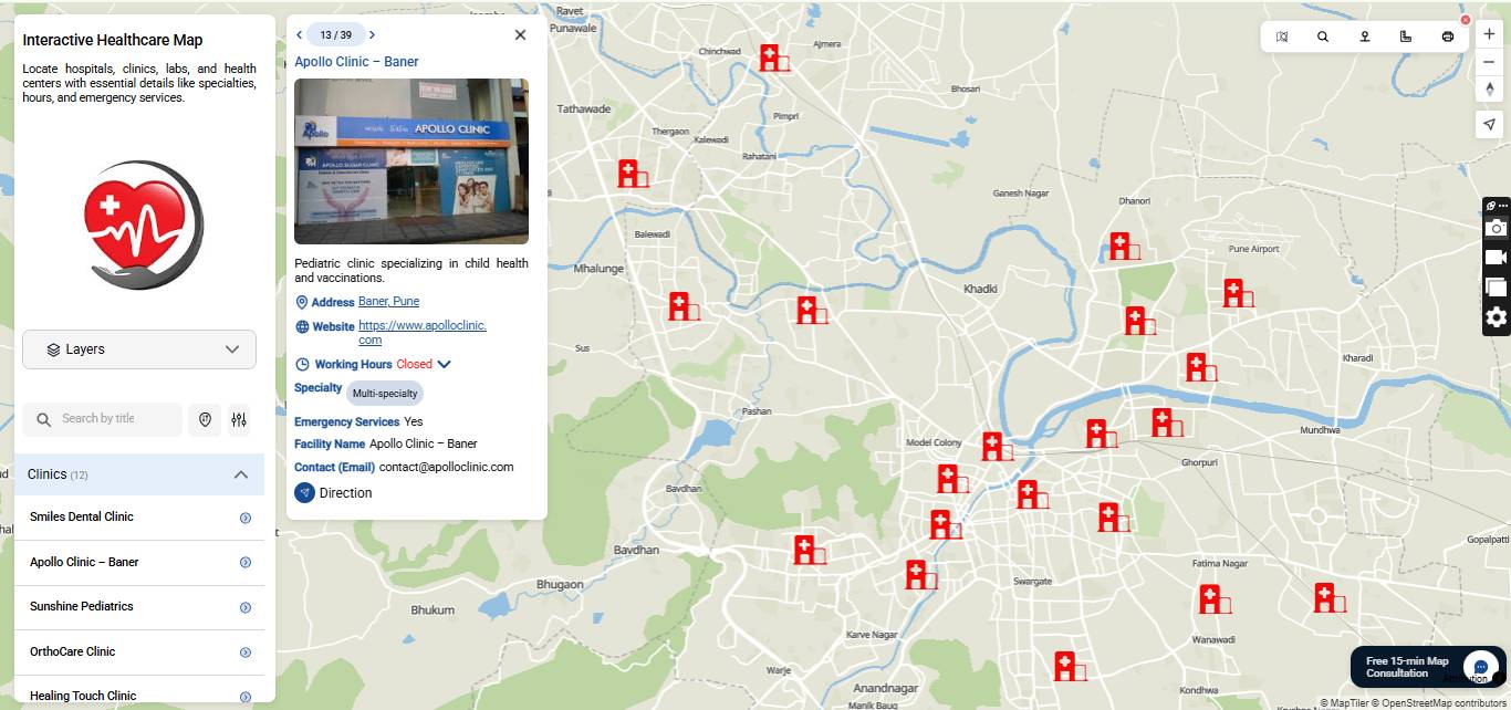
Show hospital branches, diagnostic labs, and pharmacies with their details in one place. Help patients find the nearest facility and get directions instantly.
Medical Research Mapping
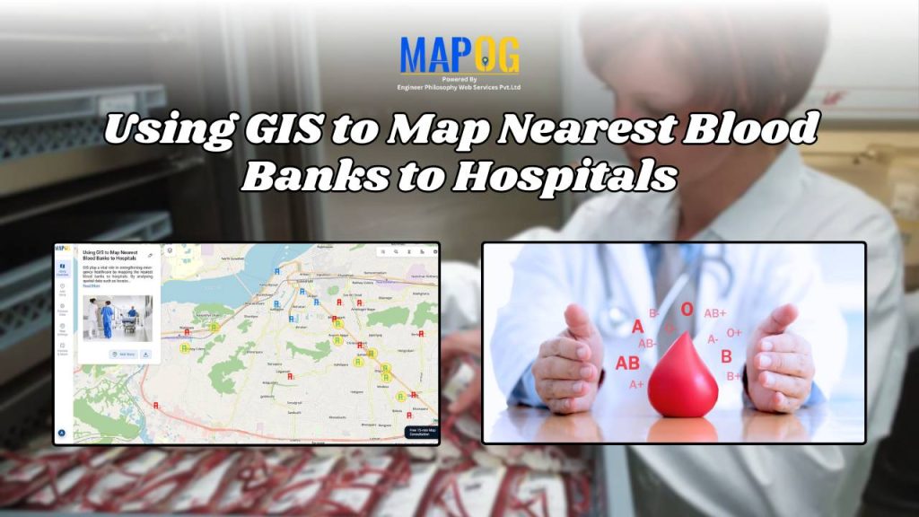
Analyse data such as hotspots, vaccination centers, ambulances, and blood banks. Understand patterns, detect trends and generate insights that help in medical research.
Who uses MAPOG in Healthcare?
MAPOG is an interactive mapping tool built for the healthcare sector — helping hospitals, doctors, researchers, NGOs, and policymakers use GIS for planning, patient care, and medical research.
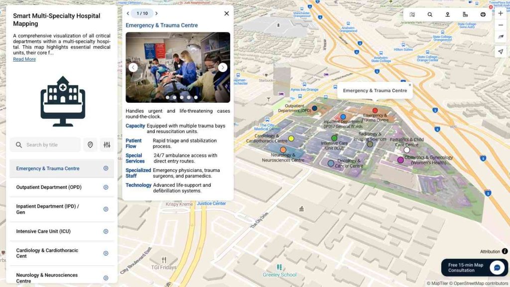
- Hospitals & Clinics – Map branches, diagnostic labs, pharmacies, and specialized departments for better patient access and management.
- Doctors & Therapists – Track patient locations, plan regular visits, and monitor ongoing treatments with location-based insights.
- Public Health & NGOs – Identify underserved areas, deploy mobile health camps, and manage vaccination or awareness drives efficiently.
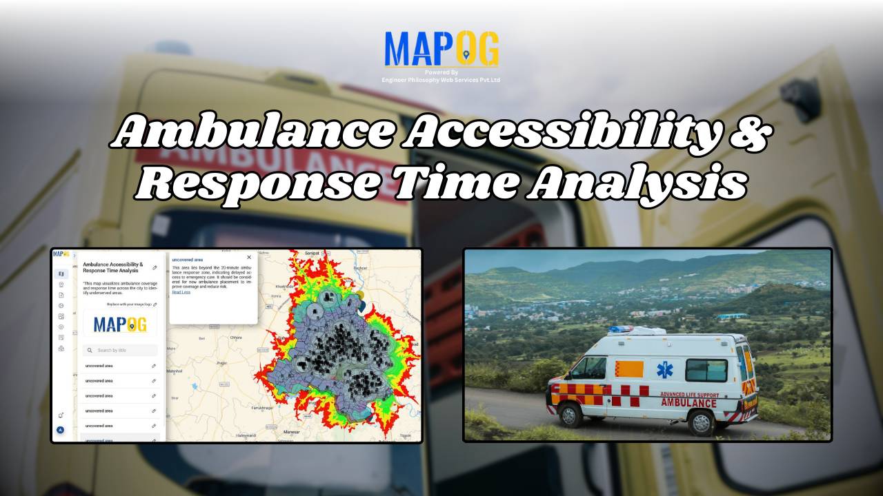
- Emergency Responders – Analyse hotspots, ambulance accessibility, and coordinate disaster or pandemic response faster with GIS-driven data.
- Medical Researchers – Study healthcare patterns, correlate datasets like hotspots and blood banks, and generate insights for research and innovation.
From accessibility planning to medical research, MAPOG empowers the entire healthcare ecosystem with smarter, data-driven decisions.
How to Create Interactive Maps for Healthcare
Map Healthcare Facilities
Highlight hospitals, clinics, pharmacies, and diagnostic centers. Help patients quickly locate the nearest services and navigate easily.
Track Emergencies & Resources
Visualize ambulances, blood banks, vaccination centers, and emergency units. Ensure better preparedness and faster response during crises.
Analyse & Share Insights
Study disease hotspots, patient distribution, and health trends. Share maps with staff, NGOs, or policymakers for data-driven healthcare planning.
Featured Healthcare & Medical Blogs
Explore MoreStay ahead with Healthcare trends, tips, and updates curated just for you.
Frequently Asked Questions
Can we bulk upload hospital or patient location data?
Yes. Hospitals, clinics, or NGOs can upload data using CSV files to manage healthcare points at scale.
Can doctors or NGOs add multimedia details like reports or images?
Yes. Maps can include patient records, reports, or links to make healthcare data more interactive.
Is MAPOG mobile-friendly for doctors and field workers?
Absolutely. All maps are responsive and optimized for mobile, allowing healthcare workers to access data on the go.
Is coding knowledge required to use MAPOG in healthcare?
No coding is needed. MAPOG is designed for hospitals, NGOs, and researchers to create and customize maps easily.
Can MAPOG be used by small clinics as well as large hospitals?
Yes. MAPOG scales easily, whether you’re managing one clinic, a chain of hospitals, or regional healthcare networks.
Can we create private maps for internal hospital or NGO use?
Yes. Maps can be kept private for doctors, staff, or authorised teams only.
Can interactive maps be used for medical research or projects?
Definitely. Researchers can map hotspots, vaccination centers, ambulances, and blood banks for analysis.
Can maps be embedded in healthcare websites or reports?
Yes. MAPOG maps can be embedded on hospital websites, NGO portals, or medical presentations with simple embed codes.
Can maps show multiple hospitals, clinics, or blood banks together?
Yes. Multiple facilities and healthcare points can be displayed on a single unified map for better accessibility.